हवाई अड्डे की जानकारी, मानचित्र से लेकर वैमानिकी सूचना के माध्यम से होटलों तक। और वर्तमान मौसम के साथ पायलटों के लिए वैमानिकी मौसम और METAR (मौसम संबंधी हवाई अड्डा रिपोर्ट, विमानन के लिए मौसम संबंधी स्थितियों का अवलोकन संदेश) और TAF (टर्मिनल हवाई अड्डा पूर्वानुमान: विमानन के लिए मौसम संबंधी स्थितियों का अल्पकालिक पूर्वानुमान संदेश) के साथ अल्पकालिक पूर्वानुमान। और अन्य संसाधन जैसे वीएसी (विजुअल एप्रोच चार्ट) उड़ानें तैयार करने के लिए.


Canberra (आस्ट्रेलिया)

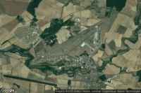
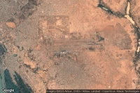
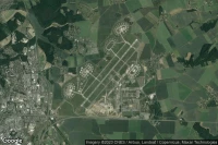
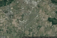
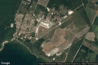
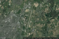
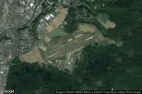
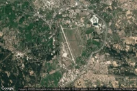
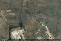
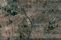
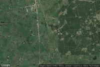
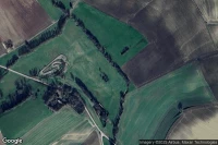
Canberra Training Area C30 Helicopter Landing Siteहेलीपोर्टसुविधाएँ ( AU-0162)


डेटा स्रोत
- Infos générales : AVWX, France FFPLUM
- METAR : AVWX
- TAF : AVWX
- Météo générale : Openweathermap et AVWX
- NOTAM : FAA
- VAC : France DGAC/SIA, Espagne ENAIRE, Belgique SKEYES
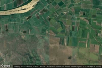
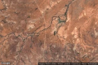
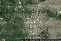
- हवाई नक्शे : Google Maps, Microsoft Bing ou OpenStreetMap