हेलीपोर्ट में इंडोनेशिया.
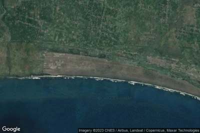
#1 Pandanwangi Air Forceहेलीपोर्ट को Lumajang (इंडोनेशिया) ID-0238
ऊंचाई : 19 m = 62ft
Pandanwangi Air Forceहेलीपोर्टहवाई अड्डा के पास स्थित है Lumajang, Cengkok को 2.6 km↑, Karangtengah को 2.6 km↑, Sumberwongso को 3.6 km↑, Jatiarum को 3.9 km↑, Pandean को 4.6 km↑, Mentosari को 5.2 km↑,
-> Pandanwangi Air Forceविमानन मौसम
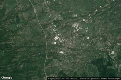
#2 Amandaratuहेलीपोर्ट को Sukabumi (इंडोनेशिया) ID-0187
ऊंचाई : 34 m = 112ft
Amandaratuहेलीपोर्टहवाई अड्डा के पास स्थित है Sukabumi, Simpenan को 3.9 km↑, Simpang को 4.4 km↑, Citeureup को 5.8 km↑, Ciracap को 5.8 km↑, Cibungur को 5.8 km↑, Pondokaso को 6.4 km↑,
-> Amandaratuविमानन मौसम
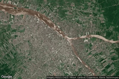
#3 Tahunaहेलीपोर्ट को Tahuna (इंडोनेशिया) ID-0132
ऊंचाई : 13 m = 43ft
Tahunaहेलीपोर्टहवाई अड्डा के पास स्थित है Tahuna, Enunawira को 8.7 km↑, Melonguanne को 138 km↑, Sarangani को 200 km↑, Bukid को 218 km↑, Balangonan को 219 km↑, Butulan को 223 km↑,
-> Tahunaविमानन मौसम
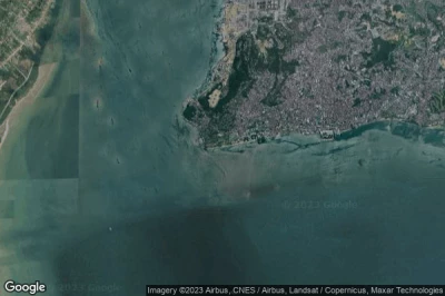
#4 balikpapan helipadहेलीपोर्ट को Balikpapan (इंडोनेशिया) ID-0275
balikpapan helipadहेलीपोर्टहवाई अड्डा के पास स्थित है Balikpapan, Balikpapan को 2.2 km↑, City of Balikpapan को 9.8 km↑, Sepinggang-besar को 11 km↑, Sepan को 27 km↑, Loa Janan को 84 km↑, Samarinda को 95 km↑,
-> balikpapan helipadविमानन मौसम
#5 Jatimulyo Air Forceहेलीपोर्ट को Jatimulyo (इंडोनेशिया) ID-0239
ऊंचाई : 5 m = 16ft
Jatimulyo Air Forceहेलीपोर्टहवाई अड्डा के पास स्थित है Jatimulyo, Sumberwongso को 1.9 km↑, Jatiarum को 3.8 km↑, Darungan को 5 km↑, Cengkok को 5 km↑, Pandean को 5.4 km↑, Sidomulyo को 5.8 km↑,
-> Jatimulyo Air Forceविमानन मौसम
#6 Pandaanहेलीपोर्ट को Purwosari (इंडोनेशिया) ID-0021
ऊंचाई : 276 m = 906ft
Pandaanहेलीपोर्टहवाई अड्डा के पास स्थित है Purwosari, Lawang को 8.9 km↑, Pandakan को 14 km↑, Singosari को 16 km↑, Prigen को 16 km↑, Bangil को 21 km↑, Pasuruan को 23 km↑,
-> Pandaanविमानन मौसम
#7 NA Air Serviceहेलीपोर्ट को Kota Pontianak (इंडोनेशिया) ID-0235
ऊंचाई : 1 m = 3ft
NA Air Serviceहेलीपोर्टहवाई अड्डा के पास स्थित है Kota Pontianak, Pontianak को 1.2 km↑, Limbung को 15 km↑, Sungairaya को 94 km↑, Singkawang को 109 km↑, Merus को 121 km↑, Provinsi Kalimantan Barat को 129 km↑,
-> NA Air Serviceविमानन मौसम
#8 Pempingहेलीपोर्ट को Batam City (इंडोनेशिया) ID-0182
ऊंचाई : 16 m = 52ft
Pempingहेलीपोर्टहवाई अड्डा के पास स्थित है Batam City, Singapore को 22 km↑, Tanglin Halt को 22 km↑, Chinese Gardens को 23 km↑, Bright Hill Crescent को 28 km↑, Kangboi को 28 km↑, Thomson Park को 29 km↑,
-> Pempingविमानन मौसम
#9 Pertaminaहेलीपोर्ट को Sapeken (इंडोनेशिया) ID-0185
ऊंचाई : 6 m = 20ft
Pertaminaहेलीपोर्टहवाई अड्डा के पास स्थित है Sapeken, Banjar Sidayu को 128 km↑, Banjar Tambaksari को 130 km↑, Banjar Barunasari को 130 km↑, Banjar Banyuning Barat को 131 km↑, Banjar Kampungkajanan को 131 km↑, Banjar Bali को 131 km↑,
-> Pertaminaविमानन मौसम
#10 Takengon Indonesian National Policeहेलीपोर्ट को Takengon (इंडोनेशिया) ID-0189
ऊंचाई : 1267 m = 4157ft
Takengon Indonesian National Policeहेलीपोर्टहवाई अड्डा के पास स्थित है Takengon, Bireun को 66 km↑, Pinto Makmur को 68 km↑, Lhokseumawe को 71 km↑, Provinsi Nanggroe Aceh Darussalam को 72 km↑, Simpangpeueul को 79 km↑, Reuleuet को 90 km↑,
-> Takengon Indonesian National Policeविमानन मौसम
#11 Santosa Hospitalहेलीपोर्ट को Bandung (इंडोनेशिया) ID-0140
#12 Landasanहेलीपोर्ट को Serang (इंडोनेशिया) ID-0183
#13 Aceh Indonesian National Police Headquartersहेलीपोर्ट को Banda Aceh (इंडोनेशिया) ID-0188
#14 Arjasa Laokहेलीपोर्ट को Arjasa (इंडोनेशिया) ID-0184
#15 Paiton Powerहेलीपोर्ट को Bhinar (इंडोनेशिया) ID-0019
#16 Tongasहेलीपोर्ट को Tongas (इंडोनेशिया) ID-0236
#17 BAT Privateहेलीपोर्ट को (इंडोनेशिया) ID-0014
#18 Senipahहेलीपोर्ट को Senipah (इंडोनेशिया) WRLY SZH
#19 Garongkongहेलीपोर्ट को Garongkong (इंडोनेशिया) ID-0245
#20 Discoveryहेलीपोर्ट को (इंडोनेशिया) ID-0015
#21 Grand Inna Bali Beachहेलीपोर्ट को Denpasar (इंडोनेशिया) ID-0016
#22 Malinauहेलीपोर्ट को Malinau-Borneo Island (इंडोनेशिया) ID-0007
#23 Karyadibyaहेलीपोर्ट को Purwosari (इंडोनेशिया) ID-0020
डेटा स्रोत
- AVWX (avwx.rest)
- हवाई नक्शे : Google Maps (www.google.com), Microsoft Bing (www.microsoft.com) ou OpenStreetMap (www.openstreetmap.org)


