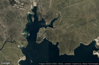
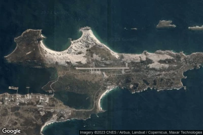
Aeropuertos en las mayores altitudes, ubicados en la montaña o en la sierra. Una gran altitud que rima con la caída de la presión atmosférica que aumenta la distancia de rodaje para permitir el despegue de los aviones y, por lo tanto, requiere una pista más larga que en altitudes más bajas. en Islas Malvinas.
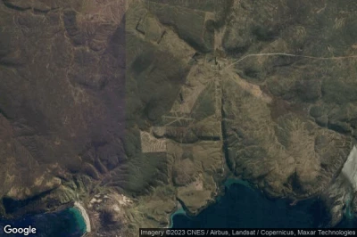
#1 aeropuerto Shallow Harbour a Shallow Harbour (Islas Malvinas) FK-0015
Altitud : 81 m = 266ft
aeropuerto Shallow Harbour se encuentra cerca de Shallow Harbour, Falkland Islands a 94 km↑, Mare Harbour Rancho a 148 km↑, Rincon Grande Settlement a 157 km↑, Stanley a 185 km↑, Río Grande a 533 km↑, Kaiken a 541 km↑,
-> tiempo de aviación para el aeropuerto del Shallow Harbour
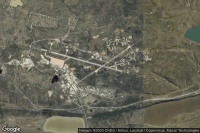
#2 aeropuerto Mount Pleasant a Mount Pleasant (Islas Malvinas) EGYP MPN
Altitud : 74 m = 243ft
aeropuerto Mount Pleasant se encuentra cerca de Mount Pleasant, Mare Harbour Rancho a 9.2 km↑, Rincon Grande Settlement a 41 km↑, Stanley a 43 km↑, Falkland Islands a 50 km↑, Kaiken a 656 km↑, Río Grande a 659 km↑,
La medida de la pista más larga : 2590 m = 8497ft
- pista 10/28 : 2590m = 8497ft
- pista 05/23 : 1525m = 5003ft
-> tiempo de aviación para el aeropuerto del Mount Pleasant
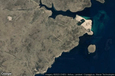
#3 aeropuerto Port Abermarle a Port Abermarle (Islas Malvinas) FK-0013
Altitud : 70 m = 230ft
aeropuerto Port Abermarle se encuentra cerca de Port Abermarle, Falkland Islands a 107 km↑, Mare Harbour Rancho a 150 km↑, Rincon Grande Settlement a 174 km↑, Stanley a 192 km↑, Río Grande a 511 km↑, Kaiken a 512 km↑,
-> tiempo de aviación para el aeropuerto del Port Abermarle
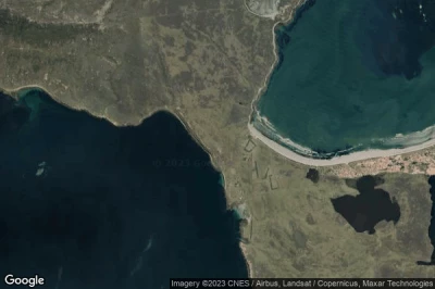
#4 aeropuerto Port Howard Purvis Pond Airstrip a Port Howard Settlement (Islas Malvinas) FK-0009
Altitud : 55 m = 180ft
aeropuerto Port Howard Purvis Pond Airstrip se encuentra cerca de Port Howard Settlement, Falkland Islands a 32 km↑, Rincon Grande Settlement a 86 km↑, Mare Harbour Rancho a 86 km↑, Stanley a 117 km↑, Río Grande a 603 km↑, Kaiken a 609 km↑,
-> tiempo de aviación para el aeropuerto del Port Howard Purvis Pond Airstrip
#5 aeropuerto Fox Bay Clay Airstrip a Fox Bay (Islas Malvinas) FK-0001
Altitud : 31 m = 102ft
aeropuerto Fox Bay Clay Airstrip se encuentra cerca de Fox Bay, Falkland Islands a 65 km↑, Mare Harbour Rancho a 114 km↑, Rincon Grande Settlement a 132 km↑, Stanley a 154 km↑, Río Grande a 553 km↑, Kaiken a 556 km↑,
-> tiempo de aviación para el aeropuerto del Fox Bay Clay Airstrip
#6 aeropuerto Pebble Island Landing Strip a Pebble Island Settlement (Islas Malvinas) FK-0002
Altitud : 30 m = 98ft
aeropuerto Pebble Island Landing Strip se encuentra cerca de Pebble Island Settlement, Falkland Islands a 58 km↑, Rincon Grande Settlement a 92 km↑, Mare Harbour Rancho a 106 km↑, Stanley a 129 km↑, Puerto Deseado a 602 km↑, Río Grande a 613 km↑,
-> tiempo de aviación para el aeropuerto del Pebble Island Landing Strip
#7 aeropuerto Fox Bay East Airstrip a Fox Bay East (Islas Malvinas) FK-0035
Altitud : 27 m = 89ft
aeropuerto Fox Bay East Airstrip se encuentra cerca de Fox Bay East, Falkland Islands a 66 km↑, Mare Harbour Rancho a 114 km↑, Rincon Grande Settlement a 133 km↑, Stanley a 155 km↑, Río Grande a 552 km↑, Kaiken a 554 km↑,
-> tiempo de aviación para el aeropuerto del Fox Bay East Airstrip
#8 aeropuerto West Point Island Landing Strip a West Point Island (Islas Malvinas) FK-0004
Altitud : 26 m = 85ft
aeropuerto West Point Island Landing Strip se encuentra cerca de West Point Island, Falkland Islands a 114 km↑, Rincon Grande Settlement a 165 km↑, Mare Harbour Rancho a 169 km↑, Stanley a 200 km↑, Río Grande a 547 km↑, Puerto Deseado a 548 km↑,
-> tiempo de aviación para el aeropuerto del West Point Island Landing Strip
#9 aeropuerto Salvador a Salvador (Islas Malvinas) FK-0020
Altitud : 24 m = 79ft
aeropuerto Salvador se encuentra cerca de Salvador, Rincon Grande Settlement a 5.6 km↑, Stanley a 47 km↑, Mare Harbour Rancho a 52 km↑, Falkland Islands a 65 km↑, Puerto Deseado a 679 km↑, Río Grande a 681 km↑,
-> tiempo de aviación para el aeropuerto del Salvador
#10 aeropuerto Port Stanley a Stanley (Islas Malvinas) SFAL PSY
Altitud : 23 m = 75ft
aeropuerto Port Stanley se encuentra cerca de Stanley, Stanley a 5.2 km↑, Rincon Grande Settlement a 44 km↑, Mare Harbour Rancho a 49 km↑, Falkland Islands a 96 km↑, Kaiken a 703 km↑, Río Grande a 708 km↑,
La medida de la pista más larga : 918 m = 3012ft
- pista 09/27 : 918m = 3012ft
- pista 18/36 : 338m = 1109ft
-> tiempo de aviación para el aeropuerto del Port Stanley
#11 aeropuerto Port San Carlos Landing Strip a Port San Carlos (Islas Malvinas) FK-0008
#12 aeropuerto Spring Point Landing Strip a Spring Point Settlement (Islas Malvinas) FK-0007
#13 aeropuerto Port Stephens a Port Stephens (Islas Malvinas) FK-0012
#14 aeropuerto Weddell Island a Weddell Island (Islas Malvinas) FK-0028
#15 aeropuerto Roy Cove Landing Strip a Roy Cove (Islas Malvinas) FK-0006
#16 aeropuerto Port Edgar a Port Edgar (Islas Malvinas) FK-0032
#17 aeropuerto Sea Lion Island Airstrip a Sea Lion Island (Islas Malvinas) FK-0034
#18 aeropuerto Douglas Station a Douglas (Islas Malvinas) FK-0024
#19 aeropuerto Goose Green a Goose Green (Islas Malvinas) FK-0005
#20 aeropuerto Port Howard Airstrip a Port Howard (Islas Malvinas) FK-0033
#21 aeropuerto Hill Cove a Hill Cove (Islas Malvinas) FK-0016
#22 aeropuerto New Island a New Island (Islas Malvinas) FK-0018
#23 aeropuerto Saunders Island Landing Strip a Saunders Island Settlement (Islas Malvinas) FK-0010
#24 aeropuerto Sea Lion Lodge Airstrip a Sea Lion Island (Islas Malvinas) FK-0003
#25 aeropuerto Lively Island a Lively (Islas Malvinas) FK-0022
#26 aeropuerto North Arm a North Arm (Islas Malvinas) FK-0019
#27 aeropuerto Dunnose Head a Dunnose Head (Islas Malvinas) FK-0014
#28 aeropuerto Carcass Island Landing Strip a Carcass Island (Islas Malvinas) FK-0011
#29 aeropuerto Speedwell Island a Speedwell Island (Islas Malvinas) FK-0026
#30 aeropuerto Chartres a Chartres (Islas Malvinas) FK-0017
#31 aeropuerto George Island a George Island House (Islas Malvinas) FK-0023
#32 aeropuerto Beaver Island a Beaver Island (Islas Malvinas) FK-0029
#33 aeropuerto Bleaker Island a Bleaker Island (Islas Malvinas) FK-0027
#34 aeropuerto Pebble Island Beach Airstrip a Pebble Island (Islas Malvinas) FK-0036
Fuentes de datos
- AVWX (avwx.rest)
- Vista aérea : Google Maps (www.google.com), Microsoft Bing (www.microsoft.com) ou OpenStreetMap (www.openstreetmap.org)
