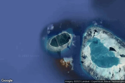
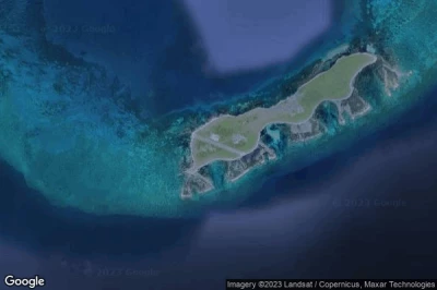
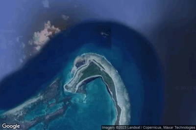
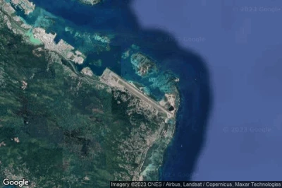
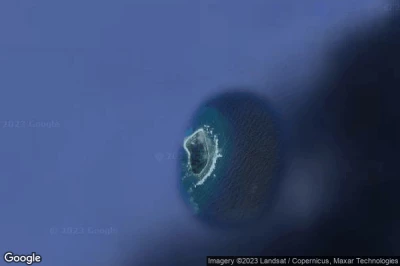
Aeropuertos en las mayores altitudes, ubicados en la montaña o en la sierra. Una gran altitud que rima con la caída de la presión atmosférica que aumenta la distancia de rodaje para permitir el despegue de los aviones y, por lo tanto, requiere una pista más larga que en altitudes más bajas. en Seychelles.
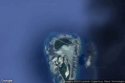
#1 aeropuerto Frégate Island a Frégate Island (Seychelles) FSSF FRK
Altitud : 186 m = 610ft
aeropuerto Frégate Island se encuentra cerca de Frégate Island, Anse Royale a 51 km↑, English River a 55 km↑, Victoria a 56 km↑, Bel Ombre a 59 km↑, Antsiranana a 1126 km↑, Betahitra a 1131 km↑,
-> tiempo de aviación para el aeropuerto del Frégate Island
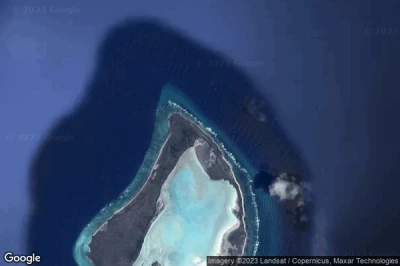
#2 aeropuerto Poivre a Poivre (Seychelles) SC-0007
Altitud : 12 m = 39ft
aeropuerto Poivre se encuentra cerca de Poivre, Bel Ombre a 265 km↑, Victoria a 269 km↑, Anse Royale a 270 km↑, English River a 270 km↑, Antsiranana a 850 km↑, Betahitra a 856 km↑,
-> tiempo de aviación para el aeropuerto del Poivre
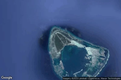
#3 aeropuerto Astove Island a Astove Island (Seychelles) FSSA
Altitud : 7 m = 23ft
aeropuerto Astove Island se encuentra cerca de Astove Island, Antsiranana a 299 km↑, Ankorefo a 302 km↑, Betahitra a 306 km↑, Pamandzi a 406 km↑, Pamanzi Be a 406 km↑, Dzaoudzi a 406 km↑,
-> tiempo de aviación para el aeropuerto del Astove Island
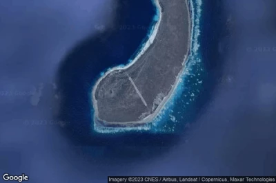
#4 aeropuerto Alphonse a Alphonse Island (Seychelles) FSAL
Altitud : 3 m = 10ft
aeropuerto Alphonse se encuentra cerca de Alphonse Island, Anse Royale a 399 km↑, Bel Ombre a 399 km↑, Victoria a 402 km↑, English River a 403 km↑, Antsiranana a 697 km↑, Betahitra a 703 km↑,
La medida de la pista más larga : 1214 m = 3983ft
- pista 15/33 : 1214m = 3983ft
-> tiempo de aviación para el aeropuerto del Alphonse
#5 aeropuerto Assumption Island a Assumption Island (Seychelles) FSAS
Altitud : 3 m = 10ft
aeropuerto Assumption Island se encuentra cerca de Assumption Island, Hajoho a 344 km↑, Harembo a 346 km↑, Ongoni a 347 km↑, Ouani a 350 km↑, Dziani a 350 km↑, Barakani a 350 km↑,
La medida de la pista más larga : 369 m = 1211ft
- pista 16/34 : 369m = 1211ft
-> tiempo de aviación para el aeropuerto del Assumption Island
#6 aeropuerto Darros a Darros Island (Seychelles) FSDA
Altitud : 3 m = 10ft
aeropuerto Darros se encuentra cerca de Darros Island, Bel Ombre a 251 km↑, Victoria a 254 km↑, English River a 255 km↑, Anse Royale a 257 km↑, Antsiranana a 881 km↑, Betahitra a 887 km↑,
-> tiempo de aviación para el aeropuerto del Darros
#7 aeropuerto Desroches a Desroches Island (Seychelles) FSDR DES
Altitud : 3 m = 10ft
aeropuerto Desroches se encuentra cerca de Desroches Island, Bel Ombre a 229 km↑, Victoria a 232 km↑, Anse Royale a 232 km↑, English River a 234 km↑, Antsiranana a 875 km↑, Betahitra a 881 km↑,
La medida de la pista más larga : 1381 m = 4531ft
- pista 12/30 : 1381m = 4531ft
-> tiempo de aviación para el aeropuerto del Desroches
#8 aeropuerto Farquhar a Farquhar Group (Seychelles) FSFA
Altitud : 3 m = 10ft
aeropuerto Farquhar se encuentra cerca de Farquhar Group, Antsiranana a 317 km↑, Betahitra a 322 km↑, Ankorefo a 344 km↑, Ampasibajina a 385 km↑, Ambilobe a 414 km↑, Diana a 445 km↑,
La medida de la pista más larga : 925 m = 3035ft
- pista 13/31 : 925m = 3035ft
-> tiempo de aviación para el aeropuerto del Farquhar
#9 aeropuerto Seychelles International (Pointe Larue) a Victoria (Seychelles) FSIA SEZ
Altitud : 3 m = 10ft
aeropuerto Seychelles International se encuentra cerca de Victoria, Anse Royale a 6.6 km↑, Victoria a 10 km↑, English River a 12 km↑, Bel Ombre a 13 km↑, Antsiranana a 1088 km↑, Betahitra a 1094 km↑,
La medida de la pista más larga : 2987 m = 9800ft
- pista 13/31 : 2987m = 9800ft
-> tiempo de aviación para el aeropuerto del Seychelles International
#10 aeropuerto Marie Louise a Marie-Louise Island (Seychelles) FSMA
Altitud : 3 m = 10ft
aeropuerto Marie Louise se encuentra cerca de Marie-Louise Island, Bel Ombre a 305 km↑, Anse Royale a 308 km↑, Victoria a 308 km↑, English River a 310 km↑, Antsiranana a 800 km↑, Betahitra a 806 km↑,
-> tiempo de aviación para el aeropuerto del Marie Louise
#11 aeropuerto Platte a Platte Island (Seychelles) FSPL
#12 aeropuerto Praslin a Praslin Island (Seychelles) FSPP PRI
#13 aeropuerto Coetivy a Coetivy Island (Seychelles) FSSC
#14 aeropuerto Denis Island a Denis Island (Seychelles) FSSD DEI
#15 aeropuerto Remire a Remire Island (Seychelles) FSSR
#16 aeropuerto Bird Island a Bird Island (Seychelles) FSSB BDI
Fuentes de datos
- AVWX (avwx.rest)
- Vista aérea : Google Maps (www.google.com), Microsoft Bing (www.microsoft.com) ou OpenStreetMap (www.openstreetmap.org)

