aérodromes ULM en Belgique.
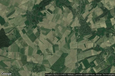
#1 aérodrome ULM de Baisy-Thy à Genappe (Belgique) EBBY
Altitude : 160 m = 525ft
aérodrome ULM de Baisy-Thy est situé à proximité de Genappe, Le Panier à 3.8 km↑, Les Bons Villers à 4.1 km↑, Genappe à 4.6 km↑, Brunehault à 7.1 km↑, Villers-la-Ville à 7.2 km↑, Tribotte à 7.2 km↑,
La plus longue piste mesure : 299 m = 981ft
- piste 14/32 : 299m = 981ft
- piste 05/23 : 252m = 827ft
-> Météo aéronautique de l'Aéroport Baisy-Thy
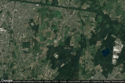
#2 aérodrome ULM de Michamps à Bastogne (Belgique) EBBGaéroport fermé
Altitude : 539 m = 1768ft
aérodrome ULM de Michamps est situé à proximité de Bastogne, Niederwampach à 5.6 km↑, Oberwampach à 6 km↑, Troine à 6.2 km↑, Derenbach à 7.7 km↑, Bastogne à 7.9 km↑, Houffalize à 8.9 km↑,
-> Météo aéronautique de l'Aéroport Michamps
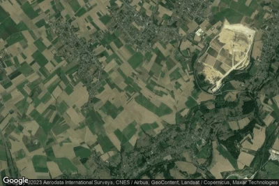
#3 aérodrome ULM de Chimay-Ronvaux à Ciney (Belgique) EBCRaéroport fermé
Altitude : 328 m = 1076ft
aérodrome ULM de Chimay-Ronvaux est situé à proximité de Ciney, Ciney à 5.6 km↑, Ounes à 9.7 km↑, Houyet à 10 km↑, Hamois à 11 km↑, Rochefort à 12 km↑, Dinant à 15 km↑,
-> Météo aéronautique de l'Aéroport Chimay-Ronvaux
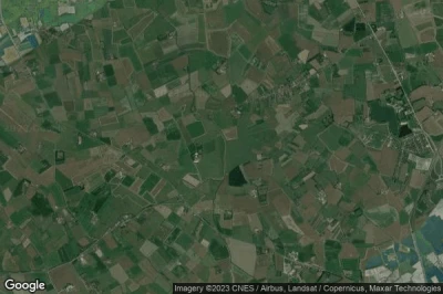
#4 aérodrome ULM de Neerpelt à Neerpelt (Belgique) EBNEaéroport fermé
Altitude : 45 m = 148ft
aérodrome ULM de Neerpelt est situé à proximité de Neerpelt, Neerpelt à 3.1 km↑, Overpelt à 4.5 km↑, Bocholt à 8.1 km↑, Toom à 8.6 km↑, Peer à 9 km↑, Gemeente Cranendonck à 10 km↑,
-> Météo aéronautique de l'Aéroport Neerpelt
#5 aérodrome ULM de Bassenge-Wonck à Bassenge (Belgique) EBBWaéroport fermé
Altitude : 112 m = 367ft
aérodrome ULM de Bassenge-Wonck est situé à proximité de Bassenge, Bassenge à 2.2 km↑, Roclenge-sur-Geer à 2.8 km↑, Riemst à 3.7 km↑, Visé à 7.4 km↑, Genistreux à 7.7 km↑, Oupeye à 7.9 km↑,
-> Météo aéronautique de l'Aéroport Bassenge-Wonck
#6 aérodrome ULM d'Outer à Ninove (Belgique) EBNOaéroport fermé
Altitude : 46 m = 151ft
aérodrome ULM d'Outer est situé à proximité de Ninove, Kingdom of Belgium à 2.6 km↑, Ninove à 3.2 km↑, Haaltert à 5.9 km↑, Zandbergen à 6.2 km↑, Denderleeuw à 6.4 km↑, Malegem à 6.6 km↑,
-> Météo aéronautique de l'Aéroport Outer
#7 aérodrome ULM de Chimay-Virelles à Chimay (Belgique) BE-0002aéroport fermé
Altitude : 280 m = 919ft
aérodrome ULM de Chimay-Virelles est situé à proximité de Chimay, Le Walestru Septentrional à 2.6 km↑, Froidchapelle à 3.7 km↑, Chimay à 7.8 km↑, Cerfontaine à 8.2 km↑, La Redoute à 8.2 km↑, Couvin à 14 km↑,
-> Météo aéronautique de l'Aéroport Chimay-Virelles
#8 aérodrome ULM de Buzet à Pont-A-Celles (Belgique) EBBZ
Altitude : 159 m = 522ft
aérodrome ULM de Buzet est situé à proximité de Pont-A-Celles, Les Bons Villers à 3.9 km↑, Pont-a-Celles à 4.1 km↑, L'Aulnois à 5 km↑, Brunehault à 5.4 km↑, Ronce à 5.6 km↑, Bois de Nauwe à 5.6 km↑,
La plus longue piste mesure : 210 m = 689ft
- piste 16/34 : 210m = 689ft
-> Météo aéronautique de l'Aéroport Buzet
#9 aérodrome ULM de Zuienkerke à Zuienkerke (Belgique) EBZU
Altitude : 5 m = 16ft
aérodrome ULM de Zuienkerke est situé à proximité de Zuienkerke, Zuienkerke à 1.4 km↑, Wenduine à 6.2 km↑, Blankenberge à 6.3 km↑, De Haan à 7 km↑, Brugge à 7.9 km↑, Zeebrugge à 8.5 km↑,
La plus longue piste mesure : 122 m = 400ft
- piste 17/35 : 122m = 400ft
-> Météo aéronautique de l'Aéroport Zuienkerke
#10 aérodrome ULM d'Ath/Isieres à Isieres (Belgique) EBIS
Altitude : 30 m = 98ft
aérodrome ULM d'Ath/Isieres est situé à proximité de Isieres, Goberwelz à 2.5 km↑, Faubourg de Bruxelles à 3.7 km↑, Ath à 4.3 km↑, Lessines à 5.7 km↑, Montils à 7.8 km↑, Brugelette à 8.4 km↑,
La plus longue piste mesure : 46 m = 151ft
- piste 17/35 : 46m = 151ft
-> Météo aéronautique de l'Aéroport Ath/Isieres
#11 aérodrome ULM de Maillen à Assesse (Belgique) EBML
#12 aérodrome ULM de Liernu à Eghezée (Belgique) EBLN
#13 aérodrome ULM de Matagne-la-Petite à Doische (Belgique) EBMG
#14 aérodrome ULM d'Arlon-Sterpenich à Arlon (Belgique) EBAR
#15 aérodrome ULM de Saint-Remy à Chimay (Belgique) EBCSaéroport fermé
#16 aérodrome ULM d'Orchimont à Vresse-Sur-Semois (Belgique) EBOR
#17 aérodrome ULM d'Avernas-le-Bauduin à Hannut (Belgique) EBAV
Sources des données
- AVWX (avwx.rest)
- Vues aériennes : Google Maps (www.google.com), Microsoft Bing (www.microsoft.com) ou OpenStreetMap (www.openstreetmap.org)


