हवाई अड्डे की जानकारी, मानचित्र से लेकर वैमानिकी सूचना के माध्यम से होटलों तक। और वर्तमान मौसम के साथ पायलटों के लिए वैमानिकी मौसम और METAR (मौसम संबंधी हवाई अड्डा रिपोर्ट, विमानन के लिए मौसम संबंधी स्थितियों का अवलोकन संदेश) और TAF (टर्मिनल हवाई अड्डा पूर्वानुमान: विमानन के लिए मौसम संबंधी स्थितियों का अल्पकालिक पूर्वानुमान संदेश) के साथ अल्पकालिक पूर्वानुमान। और अन्य संसाधन जैसे वीएसी (विजुअल एप्रोच चार्ट) उड़ानें तैयार करने के लिए.


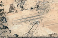
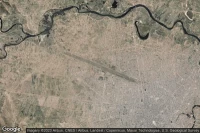
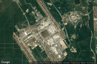
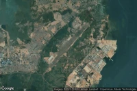
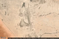
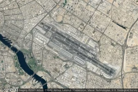
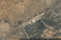
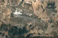
Kinshasa (कांगो लोकतांत्रिक गणराज्य)
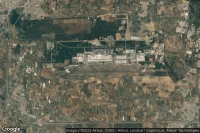
Ndjili Internationalहवाई अड्डाविमानन मौसम और सुविधाएं (FZAA FIH )


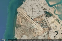
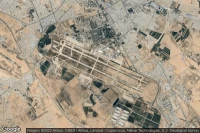
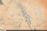
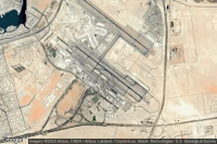
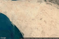
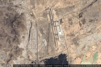
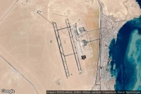
Jebel Ali Dubai (संयुक्त अरब अमीरात)
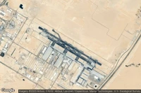
Al Maktoum Internationalहवाई अड्डाविमानन मौसम और सुविधाएं (OMDW DWC )


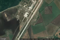
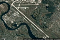
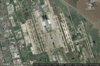
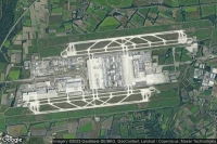
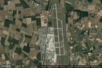
Paris Roissy-en-France (फ्रांस)
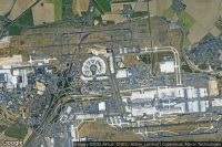
Paris Charles de Gaulle Internationalहवाई अड्डाविमानन मौसम और सुविधाएं (LFPG CDG )
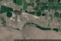
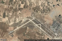
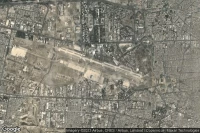
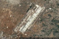
Toluca (मेक्सिको)
Licenciado Adolfo Lopez Mateos Internationalहवाई अड्डाविमानन मौसम और सुविधाएं (MMTO TLC )

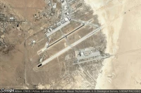
Fort Bliss El Paso (यूएसए)

Biggs Army Air Field (Fort Bliss)हवाई अड्डाविमानन मौसम और सुविधाएं (KBIF BIF )
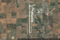
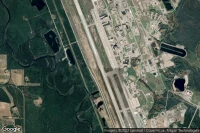
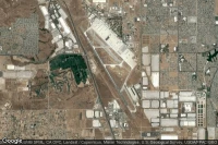
Lemoore (यूएसए)
Lemoore Naval Air Station (Reeves Field)हवाई अड्डाविमानन मौसम और सुविधाएं (KNLC NLC )
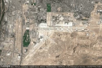
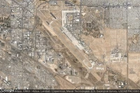
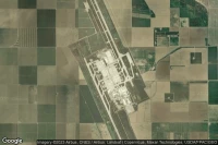
Colorado Springs (यूएसए)
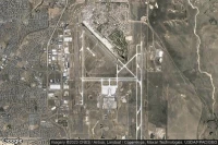
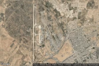
City of Colorado Springs Municipalहवाई अड्डाविमानन मौसम और सुविधाएं (KCOS COS )
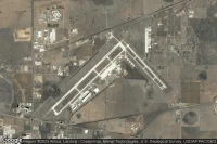


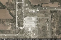
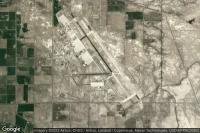
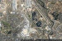
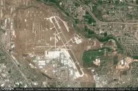
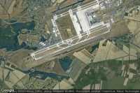
Dallas Fort Worth (यूएसए)
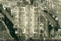
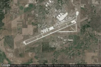
Dallas Fort Worth Internationalहवाई अड्डाविमानन मौसम और सुविधाएं (KDFW DFW )
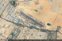


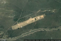
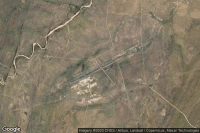
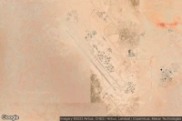
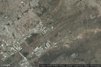
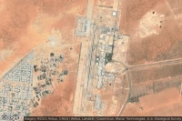
Louis Trichardt Southwest (दक्षिण अफ्रीका)
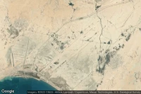
Makhado Air Force Baseहवाई अड्डाविमानन मौसम और सुविधाएं (FALM )
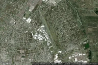
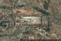
Guadalajara (मेक्सिको)
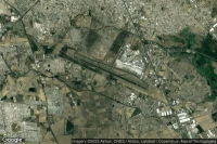
Don Miguel Hidalgo Y Costilla Internationalहवाई अड्डाविमानन मौसम और सुविधाएं (MMGL GDL )

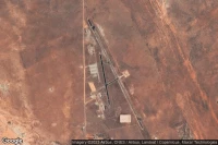
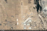
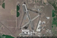
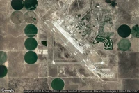
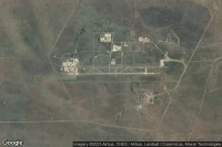
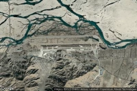
Dugway Proving Ground (यूएसए)
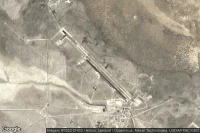
Michael AAF (Dugway Proving Ground)हवाई अड्डाविमानन मौसम और सुविधाएं (KDPG DPG )


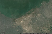
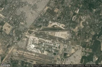
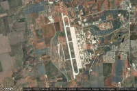
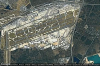
Rio De Janeiro (ब्राजील)
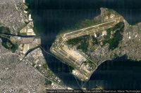
Rio Galeão – Tom Jobim Internationalहवाई अड्डाविमानन मौसम और सुविधाएं (SBGL GIG )
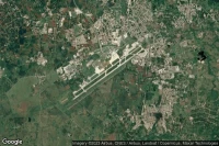

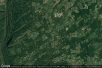
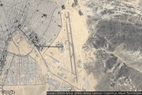
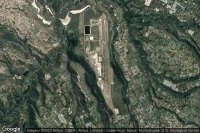
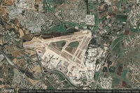
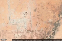
Ciudad Real Puertollano (स्पेन)
Ciudad Real Internationalहवाई अड्डाविमानन मौसम और सुविधाएं (LERL CQM )
डेटा स्रोत
- Infos générales : AVWX, France FFPLUM
- METAR : AVWX
- TAF : AVWX
- Météo générale : Openweathermap et AVWX
- NOTAM : FAA
- VAC : France DGAC/SIA, Espagne ENAIRE, Belgique SKEYES
- हवाई नक्शे : Google Maps, Microsoft Bing ou OpenStreetMap