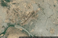
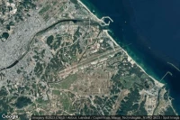
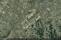
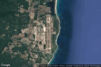
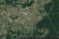
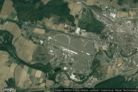
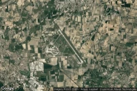
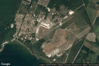
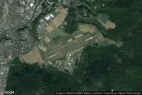
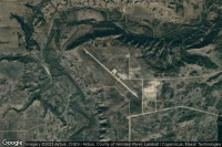
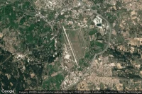
Airport information, from map to hotels via aeronautical information. And the aeronautical weather for the pilots with current weather and short-term forecasts with METAR (METeorological Aerodrome Report, observation message of meteorological conditions for aviation) and TAF (Terminal Aerodrome Forecast: short-term forecast message of meteorological conditions for aviation ). And other resources such as VAC (Visual Approach Chart) to prepare flights.
Robinson airport in Vevay (United State)
Robinson airport is located near Vevay, with Prestonville at 1mi↑, Carrollton at 1mi↑, Carroll County at 5mi↑, Vevay at 8mi↑, Providence at 8mi↑, Bedford at 10mi↑, Madison at 10mi↑, North Madison at 12mi↑,→ See also Northernmost airports in United State and Southernmost airports in United State
→ See also airports in United State
aerial view of Robinson airport
Airport code
- ICAO code : -
- IATA code : -
- Local code : 8I1
Elevation : 148 m = 486ft
→ See also Highest airports in USA and Lowest airports in United State
→ See also Airports with Longest runways in United State
Coming to Robinson airport
Hotels : book on Hotels.com Booking Booking
Taxi : book on Taxi Booking
Rent a car : book on Rentalcars
By train : book on Trip.com
By plane :
- Madison Municipal airport at 15mi : book on Trip.com
- Cincinnati Northern Kentucky International airport at 38mi : book on Iberia
- Capital City airport at 39mi : book on Trip.com
Aviation weather for Robinson airport 8I1
No METAR for Robinson airport
but aviation weather is available at Madison Municipal airport (KIMS) at 15mi↑
No TAF for Robinson airport
but aviation weather is available at Cincinnati Northern Kentucky International airport (KCVG) at 38mi↑
Around Robinson airport in Vevay (United State)
near
- Hotels in Prestonville
- Renaissance Philadelphia Downtown Hotel (Philadelphia) at 544mi↑
- MoMA (New York) at 613mi↑
- Guggenheim Museum Bilbao (Bilbao) at 4123mi↑
- Hotel NH Collection San Sebastián Aránzazu (San Sebastián) at 4163mi↑
- Sercotel Codina (San Sebastian) at 4163mi↑
- Aquarium de Donostia-San Sebastián (San Sebastian) at 4163mi↑
- Hotel de Londres y de Inglaterra (San Sebastian) at 4164mi↑
- San Sebastian at 4164mi↑
- Eureka! Zientzia Museoa (San Sebastiàn) at 4165mi↑
- Vieux Boucau at 4175mi↑
- Hôtel La Côte d'Argent (Vieux-Boucau) at 4175mi↑
- Saint-Jean-de-Luz at 4176mi↑
- for Robinson airport at 0mi↑
- for Craw Daddy Landing airport at 2mi↑
- for Carroll County Hospital airport at 2mi↑
nearest airports to Robinson airport in Vevay (United State)
- Craw Daddy Landing airport ( 3KY4) at 2mi↑
- Carroll County Hospital heliport ( 3KY5) at 2mi↑
- Milton Fire Rescue heliport ( 9KY7) at 7mi↑
- Roberts airport ( 32II) at 10mi↑
- The King's Daughters' heliport ( 21II) at 10mi↑
- Allen and Gloss airport ( 8II0) at 12mi↑
- Lee Bottom airport ( 64I) at 14mi↑
- Marble Hill heliport ( 5II6) at 15mi↑
- Madison Municipal airport (KIMS MDN ) at 15mi↑METAR NOTAM
- Kentucky Speedway heliport ( US-5789) at 16mi↑
- Madison Army airport ( US-5485) at 16mi↑defunct airport
- Giltner airport ( II54) at 16mi↑
→ See also Former airports in United State
Data sources
- Infos générales : AVWX, France FFPLUM
- METAR : AVWX
- TAF : AVWX
- Météo générale : Openweathermap et AVWX
- NOTAM : FAA
- VAC : France DGAC/SIA, Espagne ENAIRE, Belgique SKEYES
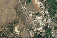
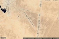
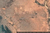
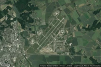
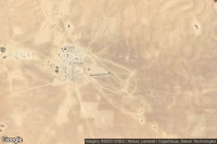
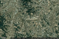
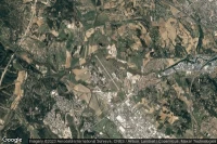
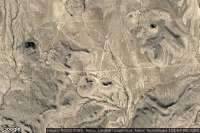
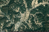
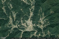
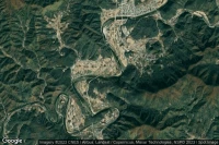
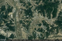
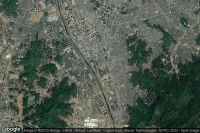
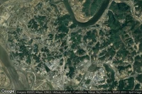
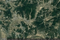
- Aerial maps : Google Maps, Microsoft Bing ou OpenStreetMap