A- A+

nearest Nuremberg airportRamstein Air Base airportSevilla airportBlake Field airportGlacier Park International airportRick Husband Amarillo International airport

Airport information, from map to hotels via aeronautical information. And the aeronautical weather for the pilots with current weather and short-term forecasts with METAR (METeorological Aerodrome Report, observation message of meteorological conditions for aviation) and TAF (Terminal Aerodrome Forecast: short-term forecast message of meteorological conditions for aviation ). And other resources such as VAC (Visual Approach Chart) to prepare flights.

Livermore (United State)

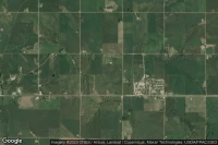
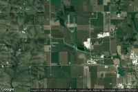
Vue aérienne de Kohlhaas

Kohlhaas airport facilities ( IA83)

Lawton (United State)

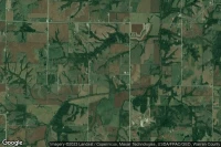
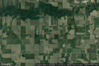
Vue aérienne de Lawton

Lawton airport facilities ( IA84)

Indianola (United State)

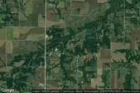
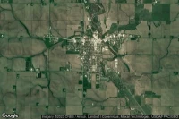
Vue aérienne de Hedgewood Landing

Hedgewood Landing airport facilities ( IA86)

Indianola (United State)

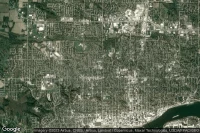
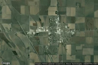
Vue aérienne de Tuinstra

Tuinstra airport facilities ( IA85)

Davenport (United State)

Vue aérienne de Genesis Medical Center West Campus

Genesis Medical Center West Campus heliport facilities ( IA81)

Woodward (United State)

Vue aérienne de Woodward State Hospital

Woodward State Hospital heliport facilities ( IA89)

Mc Causland (United State)

Vue aérienne de Quiet Valley

Quiet Valley heliport facilities ( IA88)

Grimes (United State)

Vue aérienne de Robel Field

Robel Field airport facilities ( IA87)

Des Moines (United State)

Vue aérienne de Mercy Hospital Medical Center Private

Mercy Hospital Medical Center Private heliport facilities ( IA82)

Center Point (United State)

Vue aérienne de Hannen

Hannen airport facilities ( 0IA8)

Waukon (United State)

Vue aérienne de Veterans Memorial Hospital

Veterans Memorial Hospital heliport facilities ( IA80)

Dyersville (United State)

Vue aérienne de Dyersville Area

Dyersville Area airport facilities ( IA8)

Riverside (United State)

Vue aérienne de Pfeifer Field

Pfeifer Field airport facilities ( 8IA8)

Marshalltown (United State)

Vue aérienne de Mmsc

Mmsc heliport facilities ( 6IA8)

Rock Rapids (United State)

Vue aérienne de Sanford Merrill Medical Center

Sanford Merrill Medical Center heliport facilities ( 5IA8)

Williamsburg (United State)

Vue aérienne de Weiss

Weiss airport facilities ( 4IA8)

Keokuk (United State)

Vue aérienne de UnityPoint Keokuk

UnityPoint Keokuk heliport facilities ( 3IA8)

Onawa (United State)

Vue aérienne de Burgess Health Center

Burgess Health Center heliport facilities ( 2IA8)

Data sources