Información del aeropuerto, desde mapa hasta hoteles e información aeronáutica. Y el tiempo aeronáutico para los pilotos, el METAR (METeorological Aerodrome Report, mensaje de observación de condiciones meteorológicas para la aviación) y el TAF (Terminal Aerodrome Forecast: mensaje de pronóstico a corto plazo de las condiciones meteorológicas para la aviación). Y otros recursos como VAC (Visual Approach Chart) para preparar vuelos.
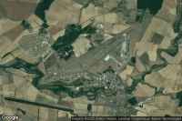


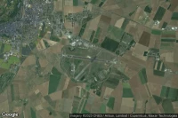


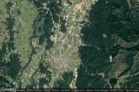
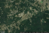
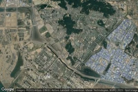
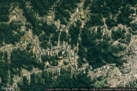
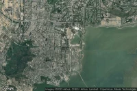
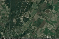
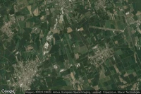
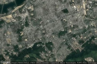
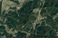
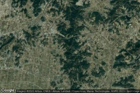
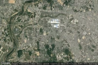
Vélizy-Villacoublay Paris (Francia)

TAF y news del aeropuerto Vélizy-Villacoublay Air Base (LFPV VIY )
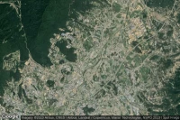
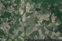


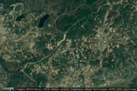


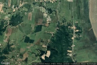


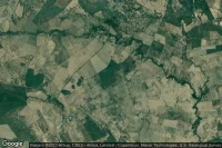
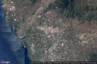


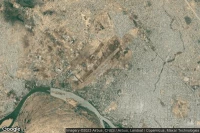
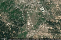
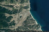
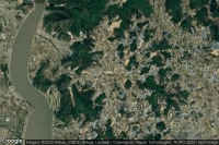
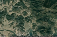
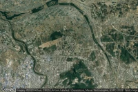
Camp Mosier (Corea del Sur)
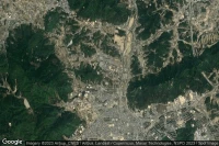
news del helipuerto 377th Medical Company (AA) Dustoff - Flight Line ( KR-0033)
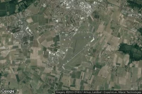
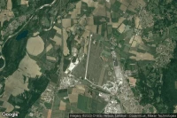
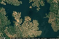
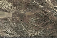
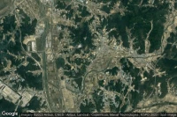
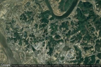
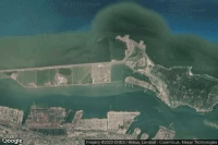
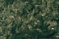
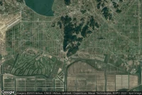
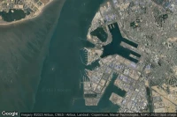
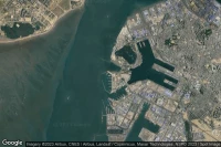
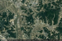
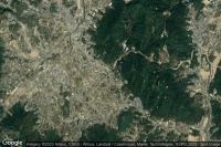
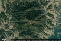
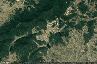
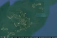
Namhyeon-dong (Corea del Sur)

news del helipuerto ROK Army Capital Defense Command (C-277) ( KR-0040)


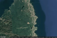
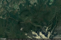
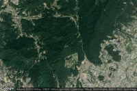


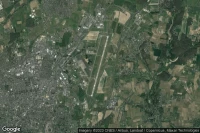
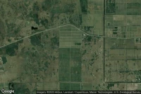
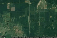
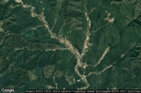
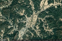
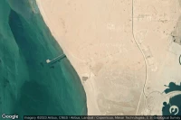
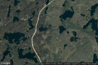
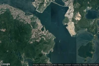
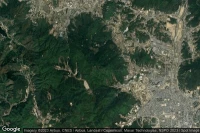
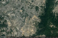
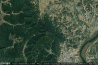
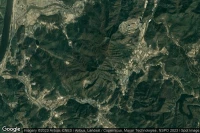
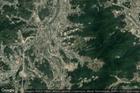
Jangsan-ri, Ganghyeon-myeon (Corea del Sur)
news del aeropuerto Sokcho (Mulchi) (G-407/K-50) ( KR-1080)


Fuentes de datos
- Infos générales : AVWX, France FFPLUM
- METAR : AVWX
- TAF : AVWX
- Météo générale : Openweathermap et AVWX
- NOTAM : FAA
- VAC : France DGAC/SIA, Espagne ENAIRE, Belgique SKEYES
- Vista aérea : Google Maps, Microsoft Bing ou OpenStreetMap