helipuertos en Sudáfrica.
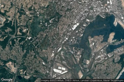
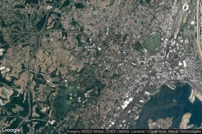
#1 helipuerto King Edward VIII Hospital a Durban (Sudáfrica) ZA-0174
Altitud : 15 m = 49ft
helipuerto King Edward VIII Hospital se encuentra cerca de Durban, Manor Gardens a 1.8 km↑, Berea a 3.4 km↑, Musgrave a 3.6 km↑, Jacobs a 3.9 km↑, Bellair a 3.9 km↑, Kingsmead a 4.4 km↑,
-> tiempo de aviación para el aeropuerto del King Edward VIII Hospital
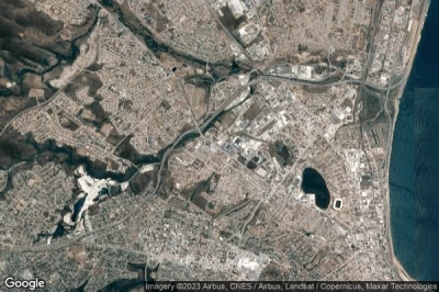
#2 helipuerto Benoni a Benoni (Sudáfrica) ZA-0215
Altitud : 1639 m = 5377ft
helipuerto Benoni se encuentra cerca de Benoni, Benoni a 3.3 km↑, Brentwood Park a 7.1 km↑, Brakpan a 7.3 km↑, Bartlett a 9.6 km↑, Springs a 9.9 km↑, Boksburg a 9.9 km↑,
-> tiempo de aviación para el aeropuerto del Benoni
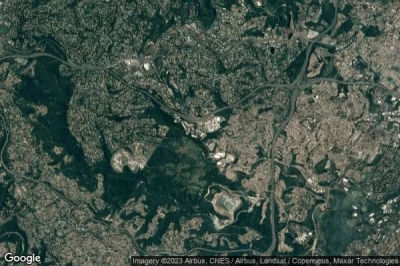
#3 helipuerto Life Fourways Hospital a Sandton (Sudáfrica) ZA-0213
Altitud : 1467 m = 4813ft
helipuerto Life Fourways Hospital se encuentra cerca de Sandton, North Riding a 5.4 km↑, Sandton a 7.9 km↑, Strydompark a 8.1 km↑, Malanshof a 9.4 km↑, Lanseria a 10 km↑, Randpark a 11 km↑,
-> tiempo de aviación para el aeropuerto del Life Fourways Hospital
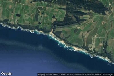
#4 helipuerto Midstream a Olifantsfontein (Sudáfrica) ZA-0210
Altitud : 1510 m = 4954ft
helipuerto Midstream se encuentra cerca de Olifantsfontein, Rooihuiskraal a 5.9 km↑, Glen Austin a 6.4 km↑, Irene a 6.7 km↑, Midrand a 7.1 km↑, Centurion a 7.8 km↑, Tembisa a 8.2 km↑,
-> tiempo de aviación para el aeropuerto del Midstream
#5 helipuerto Livingstone Hospital a Gqeberha (Port Elizabeth) (Sudáfrica) ZA-0311
Altitud : 47 m = 154ft
helipuerto Livingstone Hospital se encuentra cerca de Gqeberha (Port Elizabeth), Port Elizabeth a 0.7 km↑, Glenhurd a 2.6 km↑, Sunridge Park a 4.7 km↑, Walmer a 6 km↑, Lorraine a 6.8 km↑, Port Elizabeth Airport a 6.9 km↑,
-> tiempo de aviación para el aeropuerto del Livingstone Hospital
#6 helipuerto Life Westville Hospital a Westville (Sudáfrica) ZA-0171
Altitud : 183 m = 600ft
helipuerto Life Westville Hospital se encuentra cerca de Westville, Cato Manor a 1.7 km↑, Malvern a 3.9 km↑, Queensburgh a 3.9 km↑, Bellair a 4.9 km↑, Manor Gardens a 5.2 km↑, Reservoir Hills a 5.5 km↑,
-> tiempo de aviación para el aeropuerto del Life Westville Hospital
#7 helipuerto Pretoria Central a Pretoria (Sudáfrica) HPR ZA-0021
Altitud : 1246 m = 4088ft
helipuerto Pretoria Central se encuentra cerca de Pretoria, Sinoville a 2.3 km↑, Waverley a 6.5 km↑, East Lynne a 8.1 km↑, Arcadia a 10 km↑, Pretoria a 10 km↑, Eersterus a 11 km↑,
-> tiempo de aviación para el aeropuerto del Pretoria Central
#8 helipuerto Oubosstrand a Eersterivierstrand (Sudáfrica) ZA-0304
Altitud : 6 m = 20ft
helipuerto Oubosstrand se encuentra cerca de Eersterivierstrand, Sardinia Bay a 28 km↑, Kruisfontein a 49 km↑, Aston Bay a 65 km↑, Jeffreys Bay a 66 km↑, Plettenberg Bay a 76 km↑, Vyekraal a 79 km↑,
-> tiempo de aviación para el aeropuerto del Oubosstrand
#9 helipuerto Life Entabeni Hospital a Durban (Sudáfrica) ZA-0172
Altitud : 150 m = 492ft
helipuerto Life Entabeni Hospital se encuentra cerca de Durban, Berea a 0.7 km↑, Musgrave a 0.9 km↑, Manor Gardens a 1.3 km↑, Kingsmead a 2.9 km↑, Durban a 4 km↑, Cato Manor a 4.1 km↑,
-> tiempo de aviación para el aeropuerto del Life Entabeni Hospital
#10 helipuerto Dora Nginza Provincial Hospital a Bethelsdorp (Sudáfrica) ZA-0312
Altitud : 52 m = 171ft
helipuerto Dora Nginza Provincial Hospital se encuentra cerca de Bethelsdorp, Port Elizabeth a 4.5 km↑, Glenhurd a 7.8 km↑, Sunridge Park a 8.3 km↑, Lorraine a 11 km↑, Walmer a 11 km↑, Port Elizabeth Airport a 12 km↑,
-> tiempo de aviación para el aeropuerto del Dora Nginza Provincial Hospital
#11 helipuerto Hood Point a East London (Sudáfrica) ZA-0302
#12 helipuerto Sun City a Moses Kotane (Sudáfrica) ZA-0237
#13 helipuerto Shambala Game Estate a Shambala Game Estate (Sudáfrica) ZA-0241
#14 helipuerto Inkosi Albert Luthuli Central Hospital a Durban (Sudáfrica) ZA-0173
#15 helipuerto Interwaste a Johannesburg (Sudáfrica) ZA-0242
#16 helipuerto Kinkelbos a Kinkelbos (Sudáfrica) ZA-0313
#17 helipuerto Mediclinic Sandton a Johannesburg (Sudáfrica) ZA-0203
#18 helipuerto Wentworth Hospital a Bluff (Sudáfrica) ZA-0175
#19 helipuerto Waterfall City Hospital a Midrand (Sudáfrica) ZA-0207
#20 helipuerto Duff Scott Hospital a Stilfontein (Sudáfrica) ZA-0292
#21 helipuerto Netcare UMhlanga Hospital a uMhlanga (Sudáfrica) ZA-0167
#22 helipuerto Marula Game Lodge a Motetema (Sudáfrica) ZA-0250
#23 helipuerto Eagle View a Walkersons (Sudáfrica) ZA-0251
#24 helipuerto Pumba a Nelson Mandela Bay (Sudáfrica) ZA-0117
#25 helipuerto Moledi a (Sudáfrica) ZA-0246
#26 helipuerto Mediclinic Midstream a Olifantsfontein (Sudáfrica) ZA-0214
#27 helipuerto Marion Research Station a Cape Town (Marion Island) (Sudáfrica) ZA-0200
#28 helipuerto Robben Island a Cape Town (Sudáfrica) ZA-0193
#29 helipuerto Edenvale Hospital a Johannesburg (Sudáfrica) ZA-0202
#30 helipuerto Molori a (Sudáfrica) ZA-0247
#31 helipuerto Intertherm Durban a Durban North (Sudáfrica) ZA-0168
#32 helipuerto Dimension Data a Sandton (Sudáfrica) ZA-0212
#33 helipuerto Sanan a Johannesburg (Sudáfrica) ZA-0205
#34 helipuerto Kuruman Hospital a Kuruman (Sudáfrica) ZA-0140
#35 helipuerto King Dinizulu Hospital a Durban (Sudáfrica) ZA-0170
#36 helipuerto Ultimate a Midrand (Sudáfrica) ZA-0201
#37 helipuerto Sunninghill Hospital a Sandton (Sudáfrica) ZA-0209
#38 helipuerto Cape Town Waterfront a Cape Town (Sudáfrica) ZA-0119
#39 helipuerto Lekoa a Villiers (Sudáfrica) ZA-0295
#40 helipuerto West Vaal Hospital a Orkney (Sudáfrica) ZA-0290
#41 helipuerto ATE a Johannesburg (Sudáfrica) ZA-0236
#42 helipuerto Trollope Mining Services a (Sudáfrica) ZA-0245
#43 helipuerto Charlotte Maxeke Johannesburg Academic Hospital a Johannesburg (Sudáfrica) ZA-0206
#44 helipuerto Chris Hani Baragwanath Hospital a Soweto (Sudáfrica) ZA-0204aeropuerto desaparecido
#45 helipuerto Paperbark Lodge a Paperbark Lodge (Sudáfrica) ZA-0244
#46 helipuerto Nondela Estate a Nondela Estate (Sudáfrica) ZA-0243
#47 helipuerto Olivedale Clinic a Randburg (Sudáfrica) ZA-0211
#48 helipuerto Milpark Hospital a Johannesburg (Sudáfrica) ZA-0208
#49 helipuerto Tshepong Hospital a Klerksdorp (Sudáfrica) ZA-0291
Fuentes de datos
- AVWX (avwx.rest)
- Vista aérea : Google Maps (www.google.com), Microsoft Bing (www.microsoft.com) ou OpenStreetMap (www.openstreetmap.org)
