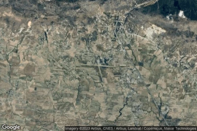
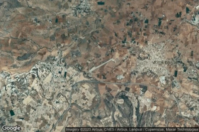
The airports that have the longest runways, because they are at altitude where planes need more speed to be able to fly. And long runways to accommodate larger aircraft or non-standard aircraft in Cyprus.
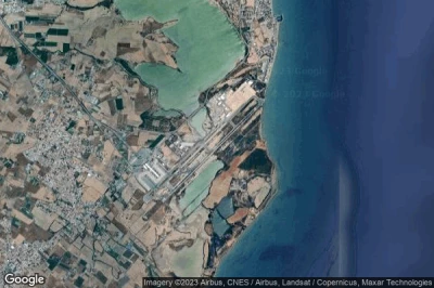
#1 Larnaca International airport at Larnarca (Cyprus) LCLK LCA
Altitude : 2 m = 7ft
Larnaca International airport is located close to Larnarca, Dhromolaxia at 3.5 km↑, Larnaca at 4.6 km↑, Kiti at 5.3 km↑, Meneou at 5.7 km↑, Perivolia at 6.4 km↑, Tersephanou at 7.6 km↑,
The longest runway measure : 2980 m = 9777ft
- runway 04/22 : 2980m = 9777ft
-> Aviation weather for Larnaca International airport
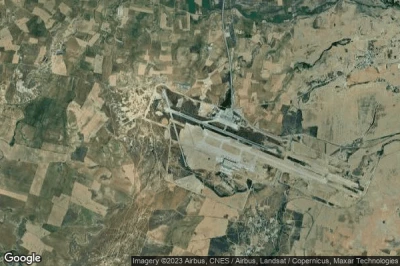
#2 Ercan International airport at Nicosia (Cyprus) LCEN ECN
Altitude : 123 m = 404ft
Ercan International airport is located close to Nicosia, Tymbou at 2.8 km↑, Athalassa at 8.8 km↑, Yeri at 9.4 km↑, Pallouriotissa at 10 km↑, Athienou at 11 km↑, Nicosia at 12 km↑,
The longest runway measure : 2755 m = 9039ft
- runway 11/29 : 2755m = 9039ft
- runway 16/34 : 276m = 906ft
-> Aviation weather for Ercan International airport
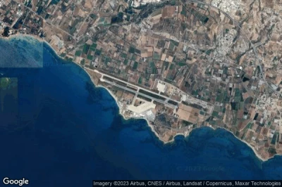
#3 Paphos International airport at Paphos (Cyprus) LCPH PFO
Altitude : 12 m = 39ft
Paphos International airport is located close to Paphos, Achéleia at 2.5 km↑, Paphos at 8.3 km↑, Mesoyi at 11 km↑, Emba at 11 km↑, Khlorakas at 12 km↑, Tala at 14 km↑,
The longest runway measure : 2700 m = 8858ft
- runway 11/29 : 2700m = 8858ft
-> Aviation weather for Paphos International airport
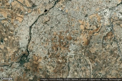
#4 Lakatamia airport at (Cyprus) CY-0001
Altitude : 231 m = 758ft
Lakatamia airport is located close to Xeri at 3.5 km↑, Kato Dheftera at 4.4 km↑, Páno Defterá at 6.3 km↑, Psimolofou at 7.2 km↑, Nicosia at 7.9 km↑, Athalassa at 8.4 km↑,
-> Aviation weather for Lakatamia airport
#5 Pınarbaşı Air Base airport at Ağırdağ (Cyprus) CY-0003
Altitude : 231 m = 758ft
Pınarbaşı Air Base airport is located close to Ağırdağ, Eparchía Kerýneias at 2.9 km↑, Kyrenia at 8.6 km↑, Yerolakkos at 10 km↑, Lapithos at 11 km↑, Mammari at 14 km↑, Kokkini Trimithia at 15 km↑,
-> Aviation weather for Pınarbaşı Air Base airport
#6 Kingsfield Air Base airport at Dhekelia Sovereign Base Area (Cyprus) CY-0004
Altitude : 88 m = 289ft
Kingsfield Air Base airport is located close to Dhekelia Sovereign Base Area, Xylotymbou at 2.3 km↑, Pyla at 2.8 km↑, Pergamos at 3.1 km↑, Voroklini at 6.3 km↑, Athna at 7.8 km↑, Troulli at 9.3 km↑,
-> Aviation weather for Kingsfield Air Base airport
#7 Kornos Highway Strip airport at (Cyprus) CY-0005
Altitude : 340 m = 1115ft
Kornos Highway Strip airport is located close to Kornos at 1.6 km↑, Mosphiloti at 5 km↑, Psevdhas at 7 km↑, Alambra at 9.1 km↑, Kophinou at 9.5 km↑, Lymbia at 11 km↑,
-> Aviation weather for Kornos Highway Strip airport
#8 Kophinou Highway Strip airport at (Cyprus) CY-0006
Altitude : 136 m = 446ft
Kophinou Highway Strip airport is located close to Kophinou at 3.8 km↑, Kornos at 9.4 km↑, Tersephanou at 11 km↑, Mosphiloti at 12 km↑, Psevdhas at 13 km↑, Meneou at 13 km↑,
-> Aviation weather for Kophinou Highway Strip airport
#9 Marki airport at (Cyprus) CY-0007
Altitude : 344 m = 1129ft
Marki airport is located close to Pera at 5.9 km↑, Xeri at 6.6 km↑, Psimolofou at 6.8 km↑, Ergates at 7.3 km↑, Lythrodhondas at 7.5 km↑, Kato Dheftera at 8.4 km↑,
-> Aviation weather for Marki airport
#10 RAF Dhekelia airport at Dhekelia Sovereign Base Area (Cyprus) CY-0041
Altitude : 48 m = 157ft
RAF Dhekelia airport is located close to Dhekelia Sovereign Base Area, Xylotymbou at 2.9 km↑, Pergamos at 6.4 km↑, Pyla at 6.5 km↑, Athna at 7.8 km↑, Voroklini at 8.4 km↑, Avgorou at 9.6 km↑,
-> Aviation weather for RAF Dhekelia airport
#11 Cyprus Gliding Club airport at (Cyprus) CY-0081
#12 Lefkoniko / Geçitkale Air Base airport at Lefkoniko (Geçitkale) (Cyprus) GEC CY-0002
Data sources
- AVWX (avwx.rest)
- Aerial maps : Google Maps (www.google.com), Microsoft Bing (www.microsoft.com) ou OpenStreetMap (www.openstreetmap.org)
