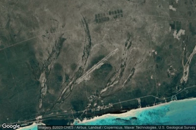
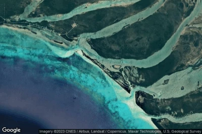
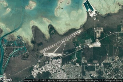
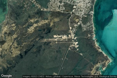
Top northern airports in Bahamas.
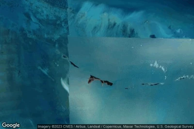
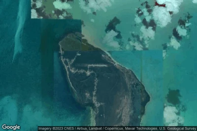
#1 Abaco I Walker C airport at (Bahamas) MYAW WKR
Altitude : 3 m = 10ft
Abaco I Walker C airport is located close to East Grand Bahama District at 71 km↑, High Rock at 73 km↑, Golden Grove at 74 km↑, West Grand Bahama District at 77 km↑, Lucaya at 86 km↑, West End at 86 km↑,
-> Aviation weather for Abaco I Walker C airport
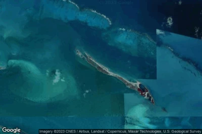
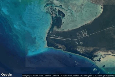
#2 Spanish Cay airport at (Bahamas) MYAX
Altitude : 3 m = 10ft
Spanish Cay airport is located close to Coopers Town at 9.7 km↑, North Abaco District at 21 km↑, Marsh Harbour at 66 km↑, East Grand Bahama District at 67 km↑, Hard Bargain at 70 km↑, Marsh Harbour District at 72 km↑,
The longest runway measure : 1342 m = 4403ft
- runway 14/32 : 1342m = 4403ft
-> Aviation weather for Spanish Cay airport
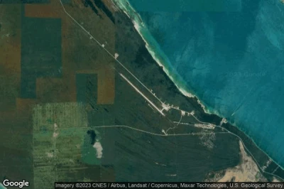
#3 Treasure Cay airport at Treasure Cay (Bahamas) MYAT TCB
Altitude : 2 m = 7ft
Treasure Cay airport is located close to Treasure Cay, North Abaco District at 6.7 km↑, Coopers Town at 18 km↑, Marsh Harbour at 40 km↑, Marsh Harbour District at 44 km↑, Hard Bargain at 51 km↑, Moore’s Island District at 52 km↑,
The longest runway measure : 2134 m = 7001ft
- runway 14/32 : 2134m = 7001ft
-> Aviation weather for Treasure Cay airport
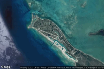
#4 West End airport at West End (Bahamas) MYGW WTD
Altitude : 2 m = 7ft
West End airport is located close to West End, West End at 0.9 km↑, Freeport at 32 km↑, Lucaya at 35 km↑, City of Freeport District at 38 km↑, West Grand Bahama District at 39 km↑, Golden Grove at 64 km↑,
-> Aviation weather for West End airport
#5 Auxiliary airport at Grand Bahama (Bahamas) MYGM GBI
Altitude : 2 m = 7ft
Auxiliary airport is located close to Grand Bahama, Golden Grove at 4.4 km↑, High Rock at 7.6 km↑, East Grand Bahama District at 22 km↑, West Grand Bahama District at 24 km↑, City of Freeport District at 31 km↑, Lucaya at 32 km↑,
-> Aviation weather for Auxiliary airport
#6 Deep Water Cay airport at Deep Water Cay (Bahamas) MYGD
Altitude : 1 m = 3ft
Deep Water Cay airport is located close to Deep Water Cay, East Grand Bahama District at 22 km↑, High Rock at 36 km↑, Golden Grove at 41 km↑, Coopers Town at 48 km↑, Hard Bargain at 50 km↑, North Abaco District at 51 km↑,
-> Aviation weather for Deep Water Cay airport
#7 Grand Bahama International airport at Freeport (Bahamas) MYGF FPO
Altitude : 2 m = 7ft
Grand Bahama International airport is located close to Freeport, Freeport at 2.9 km↑, Lucaya at 4 km↑, City of Freeport District at 6.6 km↑, West Grand Bahama District at 10 km↑, West End at 30 km↑, Golden Grove at 36 km↑,
The longest runway measure : 3359 m = 11020ft
- runway 06/24 : 3359m = 11020ft
-> Aviation weather for Grand Bahama International airport
#8 Leonard M Thompson International airport at Marsh Harbour (Bahamas) MYAM MHH
Altitude : 2 m = 7ft
Leonard M Thompson International airport is located close to Marsh Harbour, Marsh Harbour at 3.9 km↑, Marsh Harbour District at 15 km↑, North Abaco District at 47 km↑, Moore’s Island District at 52 km↑, Hard Bargain at 53 km↑, South Abaco District at 54 km↑,
The longest runway measure : 1523 m = 4997ft
- runway 09/27 : 1523m = 4997ft
-> Aviation weather for Leonard M Thompson International airport
#9 Moores Island airport at Moore's Island (Bahamas) MYA0
Altitude : 5 m = 16ft
Moores Island airport is located close to Moore's Island, Hard Bargain at 0.5 km↑, Moore’s Island District at 2 km↑, Sandy Point at 37 km↑, Marsh Harbour District at 40 km↑, South Abaco District at 44 km↑, North Abaco District at 54 km↑,
-> Aviation weather for Moores Island airport
#10 Sandy Point airport at (Bahamas) MYAS
Altitude : 2 m = 7ft
Sandy Point airport is located close to Sandy Point at 1.4 km↑, South Abaco District at 16 km↑, Moore’s Island District at 37 km↑, Hard Bargain at 39 km↑, Marsh Harbour District at 50 km↑, Marsh Harbour at 68 km↑,
The longest runway measure : 1372 m = 4501ft
- runway 10/28 : 1372m = 4501ft
-> Aviation weather for Sandy Point airport
#11 Great Harbour Cay airport at Bullocks Harbour (Bahamas) MYBG GHC
#12 South Bimini airport at South Bimini (Bahamas) MYBS BIM
#13 Cat Cay airport at North Cat Cay (Bahamas) MYCC CXY
#14 North Eleuthera airport at North Eleuthera (Bahamas) MYEH ELH
#15 Little Whale Cay Berry Islands airport at Little Whale Cay (Bahamas) MYZ3
#16 Chub Cay airport at (Bahamas) MYBC CCZ
#17 Big Whale Cay airport at Big Whale Cay (Bahamas) MYX4
#18 Governor's Harbour airport at Governor's Harbour (Bahamas) MYEM GHB
#19 San Andros airport at Andros Island (Bahamas) MYAN SAQ
#20 Lynden Pindling International airport at Nassau (Bahamas) MYNN NAS
#21 Rock Sound airport at Rock Sound (Bahamas) MYER RSD
#22 Andros Town airport at (Bahamas) MYAF ASD
#23 Arthur's Town airport at Arthur's Town (Bahamas) MYCA ATC
#24 Normans Cay airport at (Bahamas) MYEN NMC
#25 New Bight airport at Cat Island (Bahamas) MYCB TBI
#26 Clarence Bain airport at Mangrove Cay (Bahamas) MYAB MAY
#27 Sampson Cay airport at Sampson Cay (Bahamas) MYXH
#28 Staniel Cay airport at (Bahamas) MYES TYM
#29 Congo Town airport at Andros (Bahamas) MYAK COX
#30 Hawks Nest Creek airport at Hawks Nest Creek (Bahamas) MYCH
#31 Leaf Cay airport at Leaf Cay (Bahamas) MYXD
#32 Black Point Airstrip airport at Black Point (Bahamas) MYEB
#33 San Salvador airport at San Salvador (Bahamas) MYSM ZSA
#34 Farmers Cay Airstrip airport at Little Farmers Cay (Bahamas) BS-0005
#35 Cave Cay Airstrip airport at Cave Cay (Bahamas) BS-0004
#36 Rudder Cut Cay airport at Rudder Cut Cay (Bahamas) MYX7
#37 Little Darby Island airport at Little Darby Island (Bahamas) MYXF
#38 Darby Island airport at Darby Island (Bahamas) MYX8
#39 Lee Stocking airport at Lee Stocking (Bahamas) MYEL
#40 Cay Sal airport at Cay Sal (Bahamas) MYCS
#41 Rum Cay airport at (Bahamas) MYRP RCY
#42 Port Nelson Airstrip airport at Port Nelson (Bahamas) BS-0002
#43 Cape Santa Maria Airstrip airport at Galliot Cay (Bahamas) BS-0003
#44 Hog Key airport at Long Island (Bahamas) MYXC
#45 Stella Maris airport at Stella Maris (Bahamas) MYLS SML
#46 Exuma International airport at George Town (Bahamas) MYEF GGT
#47 Hog Cay airport at Hog Cay (Bahamas) MYEY
#48 Deadman's Cay airport at Deadman's Cay (Bahamas) MYLD LGI
#49 Hard Bargain airport at (Bahamas) MYLR
#50 Pitts Town airport at Pitts Town (Bahamas) MYCP PWN
#51 Colonel Hill airport at Colonel Hill (Bahamas) MYCI CRI
#52 Spring Point airport at Spring Point (Bahamas) MYAP AXP
#53 Mayaguana airport at Abrahams Bay (Bahamas) MYMM MYG
#54 Duncan Town airport at (Bahamas) MYRD DCT
#55 Inagua airport at Matthew Town (Bahamas) MYIG IGA
Data sources
- AVWX (avwx.rest)
- Aerial maps : Google Maps (www.google.com), Microsoft Bing (www.microsoft.com) ou OpenStreetMap (www.openstreetmap.org)
