Airport information, from map to hotels via aeronautical information. And the aeronautical weather for the pilots with current weather and short-term forecasts with METAR (METeorological Aerodrome Report, observation message of meteorological conditions for aviation) and TAF (Terminal Aerodrome Forecast: short-term forecast message of meteorological conditions for aviation ). And other resources such as VAC (Visual Approach Chart) to prepare flights.
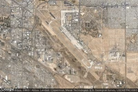
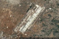
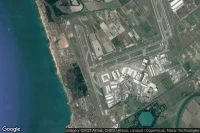
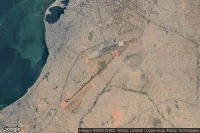
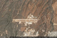
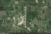
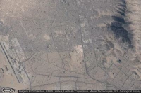
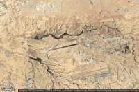
Victorville (United State)
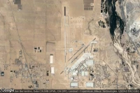
Southern California Logistics airport aviation weather and facilities (KVCV VCV )

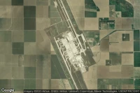
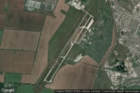
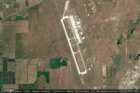
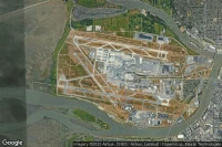
Titusville (United State)
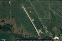
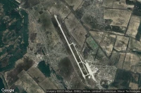
Nasa Shuttle Landing Facility airport aviation weather and facilities (KTTS )

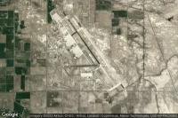
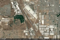
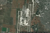
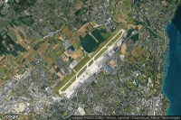
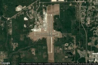
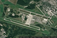
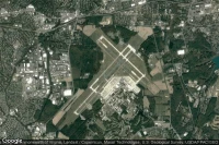
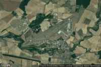
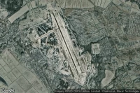
Tucson (United State)
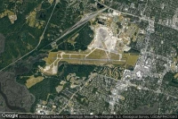
Davis Monthan Air Force Base airport aviation weather and facilities (KDMA DMA )
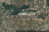
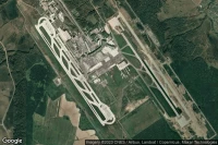
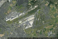
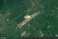
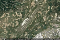
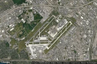
Lemoore (United State)
Lemoore Naval Air Station (Reeves Field) airport aviation weather and facilities (KNLC NLC )
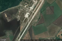
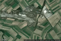
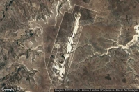
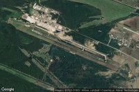
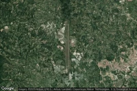
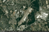
Dugway Proving Ground (United State)
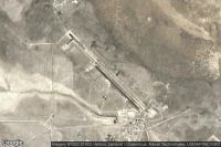
Michael AAF (Dugway Proving Ground) airport aviation weather and facilities (KDPG DPG )

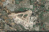
Athens (Greece)
Eleftherios Venizelos International airport aviation weather and facilities (LGAV ATH )
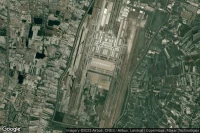
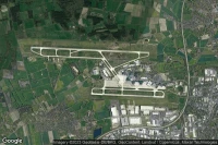
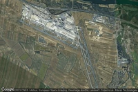
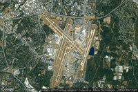
Milan (Italy)
Milan Malpensa international Silvio Berlusconi airport aviation weather and facilities (LIMC MXP )
Geneva (Switzerland)
Geneva Cointrin International airport aviation weather and facilities (LSGG GVA )


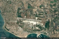
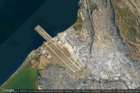
Santiago (Chile)
Comodoro Arturo Merino Benítez International airport aviation weather and facilities (SCEL SCL )
Luanda (Angola)
Quatro de Fevereiro International airport aviation weather and facilities (FNLU LAD )
São Paulo (Brazil)
Guarulhos - Governador André Franco Montoro International airport aviation weather and facilities (SBGR GRU )
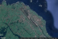
Diego Garcia (British Indian Ocean Territory)

Diego Garcia Naval Support Facility airport aviation weather and facilities (FJDG NKW )
Jacksonville (United State)
Little Rock Air Force Base airport aviation weather and facilities (KLRF LRF LRF)
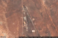
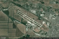
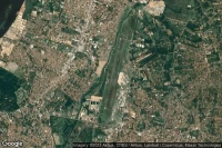
Fort Huachuca Sierra Vista (United State)
Sierra Vista Municipal Libby Army Air Field airport aviation weather and facilities (KFHU FHU )
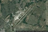
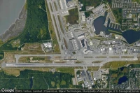
Virginia Beach (United State)
Oceana Naval Air Station airport aviation weather and facilities (KNTU NTU )


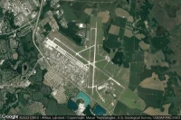
Patuxent River (United State)

Patuxent River Naval Air Station (Trapnell Field) airport aviation weather and facilities (KNHK NHK )
Fort Campbell Hopkinsville (United State)

Campbell AAF airport aviation weather and facilities (KHOP HOP )
Rio Gallegos (Argentina)

Rio Gallegos Piloto Civil Norberto Fernández International airport aviation weather and facilities (SAWG RGL )

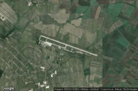
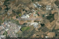
Blytheville (United State)
Arkansas International airport aviation weather and facilities (KBYH BYH )
Springfield Chicopee (United State)
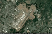
Westover ARB/Metropolitan airport aviation weather and facilities (KCEF CEF )

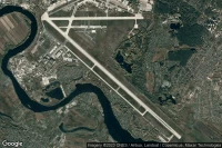
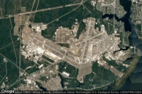
Anchorage (United State)
Ted Stevens Anchorage International airport aviation weather and facilities (PANC ANC )
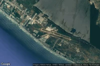
Varadero (Cuba)
Juan Gualberto Gomez International airport aviation weather and facilities (MUVR VRA )

Medellín (Colombia)
Jose Maria Córdova International airport aviation weather and facilities (SKRG MDE )


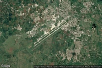
Ahmedabad (India)

Sardar Vallabhbhai Patel International airport aviation weather and facilities (VAAH AMD )
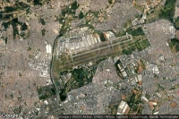
Mumbai (India)
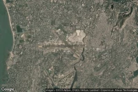
Chhatrapati Shivaji Maharaj International airport aviation weather and facilities (VABB BOM )

Thiruvananthapuram (India)

Trivandrum International airport aviation weather and facilities (VOTV TRV )
Cusco (Peru)

Alejandro Velasco Astete International airport aviation weather and facilities (SPZO CUZ )
Point Mugu (United State)
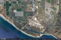
Point Mugu Naval Air Station (Naval Base Ventura Co) airport aviation weather and facilities (KNTD NTD )

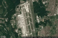
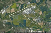
Greenville (United State)
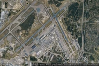
Greenville Spartanburg International airport aviation weather and facilities (KGSP GSP )
Asunción (Paraguay)
Silvio Pettirossi International airport aviation weather and facilities (SGAS ASU )
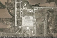
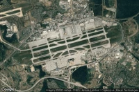
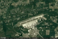
Louisville (United State)
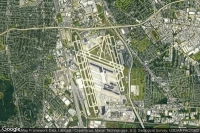
Louisville International Standiford Field airport aviation weather and facilities (KSDF SDF )


Data sources
- Infos générales : AVWX, France FFPLUM
- METAR : AVWX
- TAF : AVWX
- Météo générale : Openweathermap et AVWX
- NOTAM : FAA
- VAC : France DGAC/SIA, Espagne ENAIRE, Belgique SKEYES
- Aerial maps : Google Maps, Microsoft Bing ou OpenStreetMap