Airport information, from map to hotels via aeronautical information. And the aeronautical weather for the pilots with current weather and short-term forecasts with METAR (METeorological Aerodrome Report, observation message of meteorological conditions for aviation) and TAF (Terminal Aerodrome Forecast: short-term forecast message of meteorological conditions for aviation ). And other resources such as VAC (Visual Approach Chart) to prepare flights.
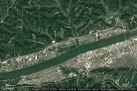
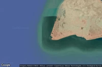
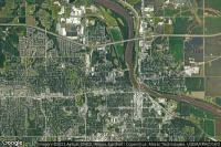
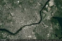
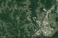
Boston (United State)

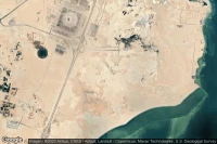
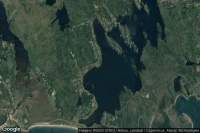
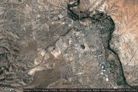
General Edward Lawrence Logan International airport aviation weather and facilities (KBOS BOS )
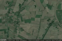
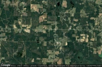
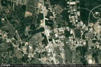
Lawrenceville (United State)
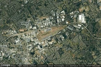
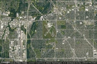
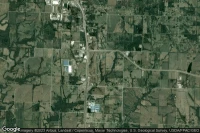
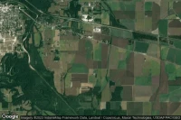
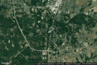
Gwinnett County Briscoe Field airport aviation weather and facilities (KLZU LZU )
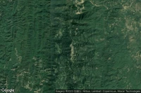
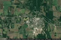
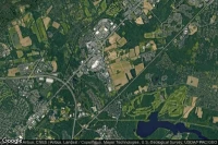
Lawrenceville (United State)

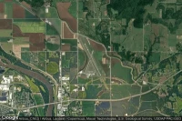
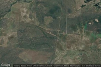
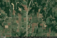
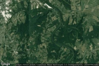
Lawrenceville Vincennes airport aviation weather and facilities (KLWV LWV )

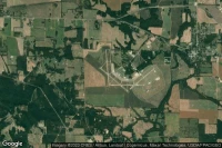
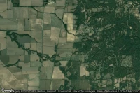
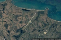
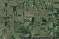
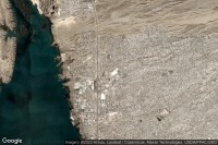
Lawrenceville (United State)
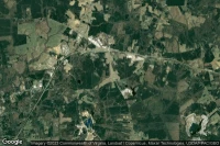
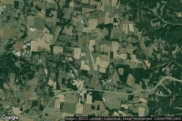
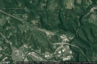
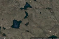
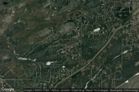
Lawrenceville Brunswick Municipal airport aviation weather and facilities (KLVL LVL )


Data sources
- Infos générales : AVWX, France FFPLUM
- METAR : AVWX
- TAF : AVWX
- Météo générale : Openweathermap et AVWX
- NOTAM : FAA
- VAC : France DGAC/SIA, Espagne ENAIRE, Belgique SKEYES
- Aerial maps : Google Maps, Microsoft Bing ou OpenStreetMap