Información del aeropuerto, desde mapa hasta hoteles e información aeronáutica. Y el tiempo aeronáutico para los pilotos, el METAR (METeorological Aerodrome Report, mensaje de observación de condiciones meteorológicas para la aviación) y el TAF (Terminal Aerodrome Forecast: mensaje de pronóstico a corto plazo de las condiciones meteorológicas para la aviación). Y otros recursos como VAC (Visual Approach Chart) para preparar vuelos.


Fuentes de datos
- Infos générales : AVWX, France FFPLUM
- METAR : AVWX
- TAF : AVWX
- Météo générale : Openweathermap et AVWX
- NOTAM : FAA
- VAC : France DGAC/SIA, Espagne ENAIRE, Belgique SKEYES
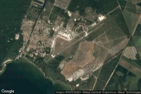
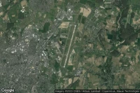
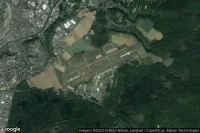
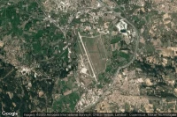
- Vista aérea : Google Maps, Microsoft Bing ou OpenStreetMap