Airport information, from map to hotels via aeronautical information. And the aeronautical weather for the pilots with current weather and short-term forecasts with METAR (METeorological Aerodrome Report, observation message of meteorological conditions for aviation) and TAF (Terminal Aerodrome Forecast: short-term forecast message of meteorological conditions for aviation ). And other resources such as VAC (Visual Approach Chart) to prepare flights.
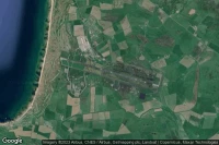
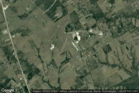
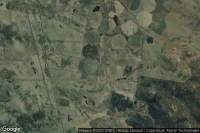
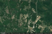
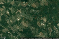
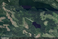
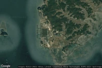
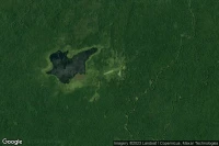
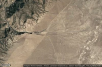
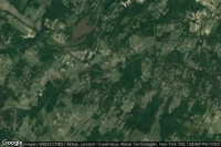
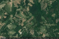
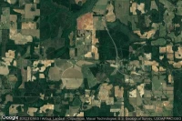
Fort Campbell Hopkinsville (United State)

Campbell AAF airport aviation weather and facilities (KHOP HOP )
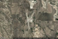
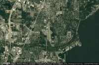
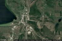
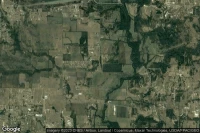
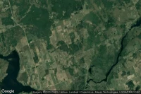
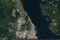
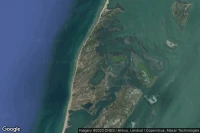
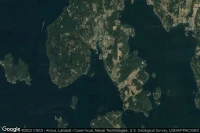
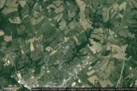
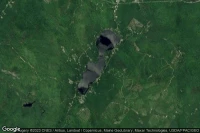
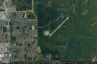
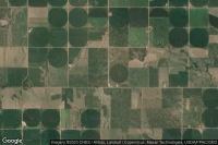
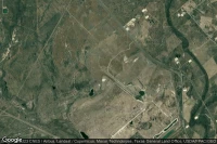
Troy (United State)
Troy Municipal at N Kenneth Campbell Field airport aviation weather and facilities (KTOI TOI )

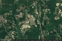
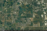
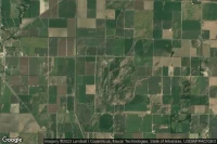
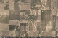
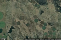
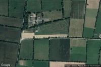
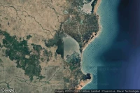
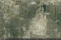
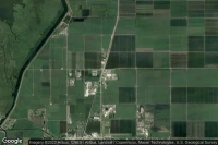
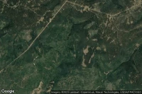
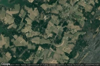
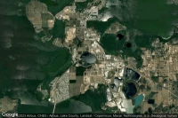
Corsicana (United State)
C David Campbell Field Corsicana Municipal airport aviation weather and facilities (KCRS CRS )

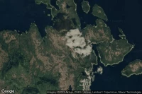

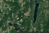

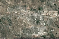
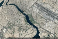


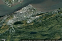
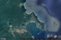
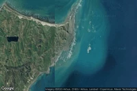


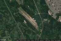
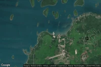
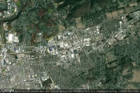
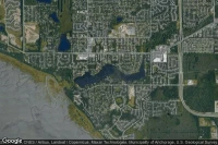
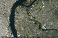
Clarksville Fort Campbell (United State)
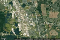
Blanchfield Army Community Hospital heliport facilities ( US-7222)


Data sources
- Infos générales : AVWX, France FFPLUM
- METAR : AVWX
- TAF : AVWX
- Météo générale : Openweathermap et AVWX
- NOTAM : FAA
- VAC : France DGAC/SIA, Espagne ENAIRE, Belgique SKEYES
- Aerial maps : Google Maps, Microsoft Bing ou OpenStreetMap