Airport information, from map to hotels via aeronautical information. And the aeronautical weather for the pilots with current weather and short-term forecasts with METAR (METeorological Aerodrome Report, observation message of meteorological conditions for aviation) and TAF (Terminal Aerodrome Forecast: short-term forecast message of meteorological conditions for aviation ). And other resources such as VAC (Visual Approach Chart) to prepare flights.
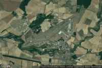

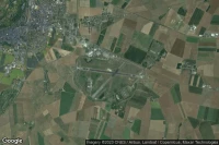
Tabarka (Tunisia)

Tabarka–Aïn Draham International airport aviation weather and facilities (DTKA TBJ )
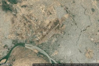
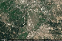
Cognac (France)
Cognac-Châteaubernard (BA 709) Air Base airport aviation weather and facilities (LFBG CNG )


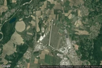
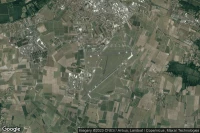
Vélizy-Villacoublay Paris (France)

Vélizy-Villacoublay Air Base airport aviation weather and facilities (LFPV VIY )
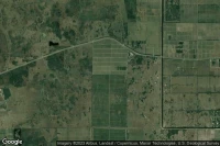


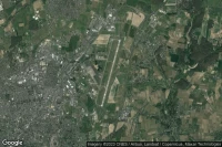
Camp Mosier (South Korea)
377th Medical Company (AA) Dustoff - Flight Line heliport facilities ( KR-0033)


Data sources
- Infos générales : AVWX, France FFPLUM
- METAR : AVWX
- TAF : AVWX
- Météo générale : Openweathermap et AVWX
- NOTAM : FAA
- VAC : France DGAC/SIA, Espagne ENAIRE, Belgique SKEYES
- Aerial maps : Google Maps, Microsoft Bing ou OpenStreetMap