A- A+

nearest Stuttgart airportGrenchen airportGuangzhou Baiyun International airportLakefront airportVerona Villafranca airportTarbes-Lourdes-Pyrénées airport

Airport information, from map to hotels via aeronautical information. And the aeronautical weather for the pilots with current weather and short-term forecasts with METAR (METeorological Aerodrome Report, observation message of meteorological conditions for aviation) and TAF (Terminal Aerodrome Forecast: short-term forecast message of meteorological conditions for aviation ). And other resources such as VAC (Visual Approach Chart) to prepare flights.

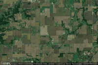
Bargersville (United State)

Vue aérienne de Kephart Field

Kephart Field airport facilities ( IN01)

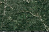
Ada (United State)

Vue aérienne de Hammars Farm

Hammars Farm airport facilities ( MN01)

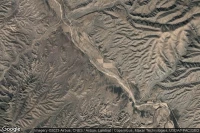
Dorseyville (United State)

Vue aérienne de Cedar Run

Cedar Run airport facilities ( PN01)

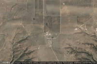
Klondyke (United State)

Vue aérienne de Av Ranch

Av Ranch airport facilities ( AN01)

Fort Bragg (United State)

Vue aérienne de Mendocino Coast District Hospital

Mendocino Coast District Hospital heliport facilities ( CN01)

Mosquero (United State)

Vue aérienne de Mosquero Emergency Services

Mosquero Emergency Services heliport facilities ( N01)

Leavenworth (United State)

Vue aérienne de Dwight Eisenhower Va Medical Center

Dwight Eisenhower Va Medical Center heliport facilities ( SN01)

Rosemark (United State)

Vue aérienne de Ray

Ray airport facilities ( TN01)

Seattle (United State)

Vue aérienne de Seattle Private Number One

Seattle Private Number One heliport facilities ( WN01)

Data sources