Airport information, from map to hotels via aeronautical information. And the aeronautical weather for the pilots with current weather and short-term forecasts with METAR (METeorological Aerodrome Report, observation message of meteorological conditions for aviation) and TAF (Terminal Aerodrome Forecast: short-term forecast message of meteorological conditions for aviation ). And other resources such as VAC (Visual Approach Chart) to prepare flights.
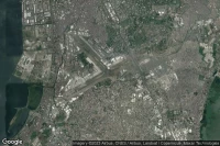

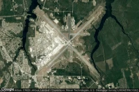
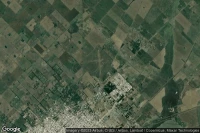
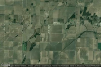
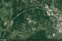
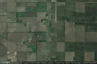
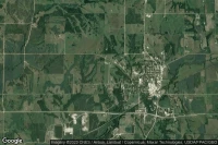
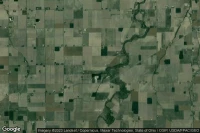
Peoria (United State)

General Wayne A. Downing Peoria International airport aviation weather and facilities (KPIA PIA )
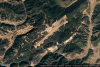
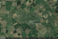
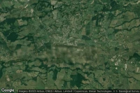
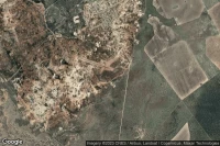
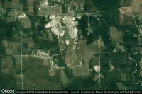
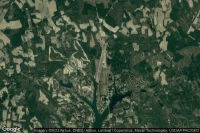
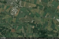
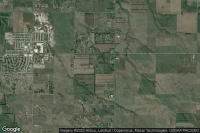
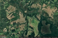
Fort Benning (Columbus) (United State)

Lawson Army Air Field (Fort Benning) airport aviation weather and facilities (KLSF LSF )
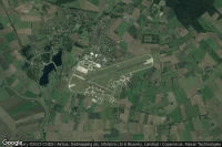
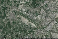
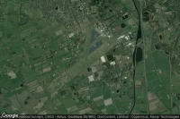
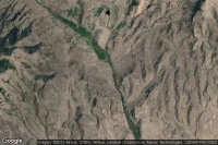
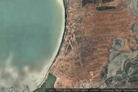
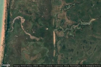
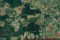
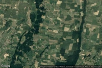
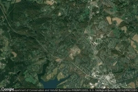
Havelock (United State)
Marine Corps Air Station Cherry Point airport aviation weather and facilities (KNKT )


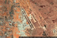
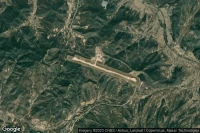
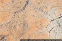
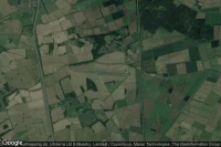
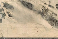
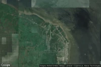
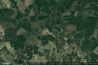
Twentynine Palms (United State)
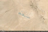
Twentynine Palms (Self) airport aviation weather and facilities (KNXP )
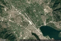

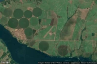
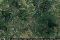
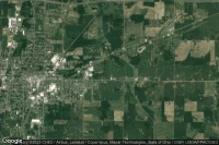
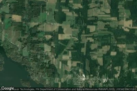
Elmira Corning (United State)

Elmira Corning Regional airport aviation weather and facilities (KELM ELM )


Data sources
- Infos générales : AVWX, France FFPLUM
- METAR : AVWX
- TAF : AVWX
- Météo générale : Openweathermap et AVWX
- NOTAM : FAA
- VAC : France DGAC/SIA, Espagne ENAIRE, Belgique SKEYES
- Aerial maps : Google Maps, Microsoft Bing ou OpenStreetMap