Airport information, from map to hotels via aeronautical information. And the aeronautical weather for the pilots with current weather and short-term forecasts with METAR (METeorological Aerodrome Report, observation message of meteorological conditions for aviation) and TAF (Terminal Aerodrome Forecast: short-term forecast message of meteorological conditions for aviation ). And other resources such as VAC (Visual Approach Chart) to prepare flights.
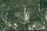
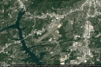
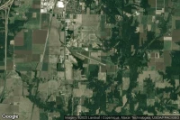
St Augustine (United State)

Northeast Florida Regional airport aviation weather and facilities (KSGJ UST )
Fort Myers (United State)

Southwest Florida International airport aviation weather and facilities (KRSW RSW )

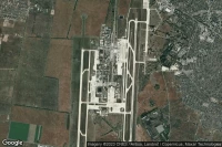
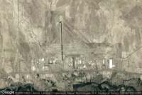
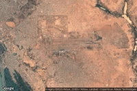
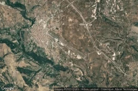
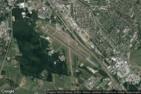
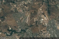
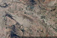
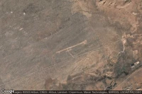
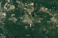
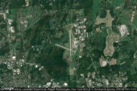
Pretoria (South Africa)
Waterkloof Air Force Base airport aviation weather and facilities (FAWK WKF )

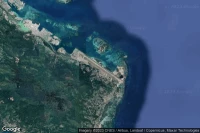
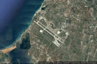
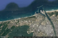
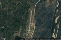
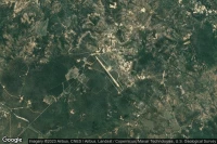
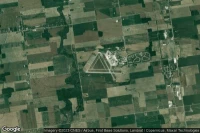
Puerto Plata (Dominican Republic)
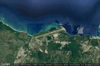
Gregorio Luperon International airport aviation weather and facilities (MDPP POP )
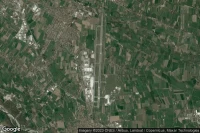
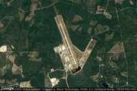
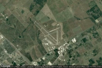
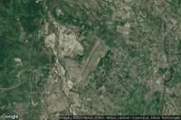
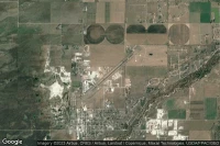
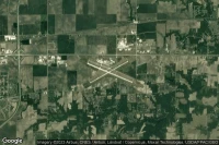
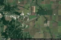
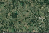
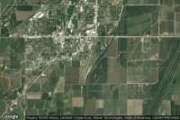
Peoria (United State)

General Wayne A. Downing Peoria International airport aviation weather and facilities (KPIA PIA )
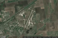
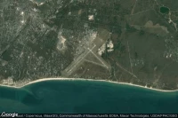
Panama City Beach (United State)
Northwest Florida Beaches International airport aviation weather and facilities (KECP ECP )

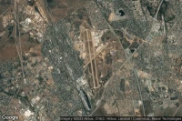
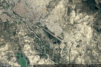
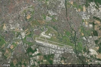
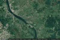
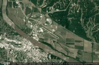
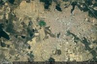
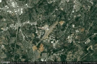
Belo Horizonte (Brazil)
Tancredo Neves International airport aviation weather and facilities (SBCF CNF )
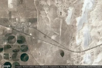
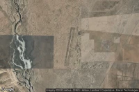
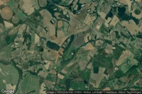
Durango (Mexico)

General Guadalupe Victoria International airport aviation weather and facilities (MMDO DGO )
Belo Horizonte (Brazil)

Pampulha - Carlos Drummond de Andrade airport aviation weather and facilities (SBBH PLU MG0003)


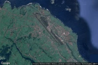
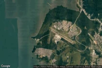
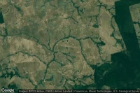
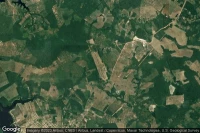
Victoria Falls (Zimbabwe)

Victoria Falls International airport aviation weather and facilities (FVFA VFA )
Florianópolis (Brazil)
Hercílio Luz International airport aviation weather and facilities (SBFL FLN )
Ciudad Victoria (Mexico)
General Pedro Jose Mendez International airport aviation weather and facilities (MMCV CVM )
Houston (United State)
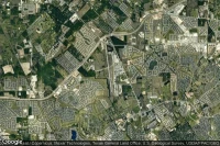
David Wayne Hooks Memorial airport aviation weather and facilities (KDWH DWH )


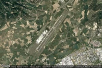
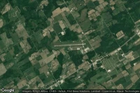
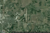
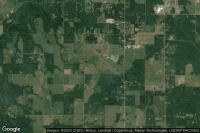
Mattoon Charleston (United State)
Coles County Memorial airport aviation weather and facilities (KMTO MTO )
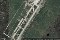
Utqiaġvik (United State)
Wiley Post Will Rogers Memorial airport aviation weather and facilities (PABR BRW )
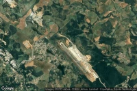
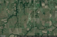
Kaiser Lake Ozark (United State)
Lee C Fine Memorial airport aviation weather and facilities (KAIZ AIZ )
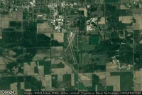
Jefferson City (United State)
Jefferson City Memorial airport aviation weather and facilities (KJEF JEF )


Sikeston (United State)
Sikeston Memorial Municipal airport aviation weather and facilities (KSIK SIK )
Crossville (United State)
Crossville Memorial Whitson Field airport aviation weather and facilities (KCSV CSV )
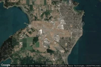
Sheboygan (United State)
Sheboygan County Memorial airport aviation weather and facilities (KSBM SBM )
Warroad (United State)
Warroad International Memorial airport aviation weather and facilities (KRRT RRT )
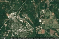
Patterson (United State)

Harry P Williams Memorial airport aviation weather and facilities (KPTN PTN )


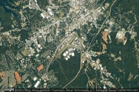
Spartanburg (United State)
Spartanburg Downtown Memorial airport aviation weather and facilities (KSPA SPA )
Minocqua-Woodruff (United State)

Lakeland-Noble F. Lee Memorial field airport aviation weather and facilities (KARV ARV )
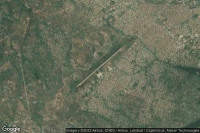
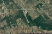
Marathon (United State)

The Florida Keys Marathon airport aviation weather and facilities (KMTH MTH )
Mc Minnville (United State)
Warren County Memorial airport aviation weather and facilities (KRNC RNC )
Glens Falls (United State)
Floyd Bennett Memorial airport aviation weather and facilities (KGFL GFL )


Data sources
- Infos générales : AVWX, France FFPLUM
- METAR : AVWX
- TAF : AVWX
- Météo générale : Openweathermap et AVWX
- NOTAM : FAA
- VAC : France DGAC/SIA, Espagne ENAIRE, Belgique SKEYES
- Aerial maps : Google Maps, Microsoft Bing ou OpenStreetMap