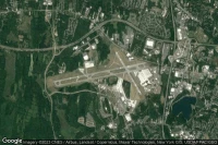
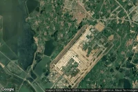
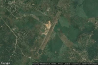
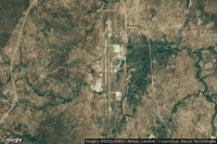
Airport information, from map to hotels via aeronautical information. And the aeronautical weather for the pilots with current weather and short-term forecasts with METAR (METeorological Aerodrome Report, observation message of meteorological conditions for aviation) and TAF (Terminal Aerodrome Forecast: short-term forecast message of meteorological conditions for aviation ). And other resources such as VAC (Visual Approach Chart) to prepare flights.

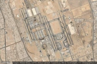
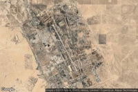
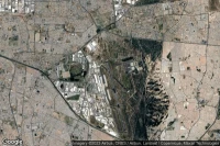
Jebel Ali Dubai (United Arab Emirates)
Al Maktoum International airport aviation weather and facilities (OMDW DWC )
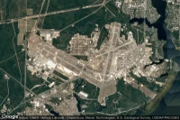
New York (United State)
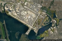
John F Kennedy International airport aviation weather and facilities (KJFK JFK JFK)

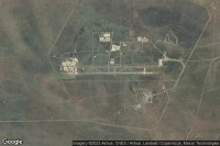
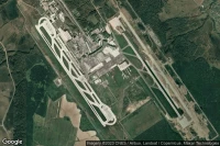
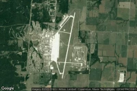
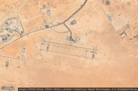
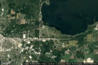
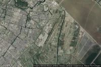
Rapid City (United State)

Ellsworth Air Force Base airport aviation weather and facilities (KRCA RCA )
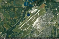
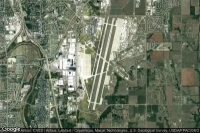
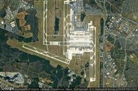
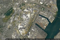
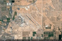
Dallas Fort Worth (United State)
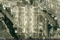
Dallas Fort Worth International airport aviation weather and facilities (KDFW DFW )
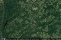
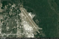
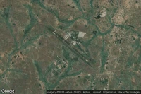
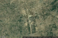
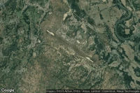
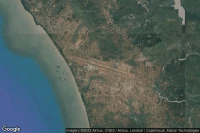
Louis Trichardt Southwest (South Africa)
Makhado Air Force Base airport aviation weather and facilities (FALM )
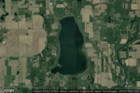
Dugway Proving Ground (United State)
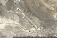
Michael AAF (Dugway Proving Ground) airport aviation weather and facilities (KDPG DPG )
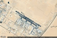
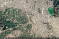
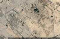
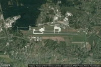
Jeddah (Saudi Arabia)
King Abdulaziz International airport aviation weather and facilities (OEJN JED )

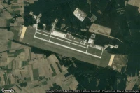
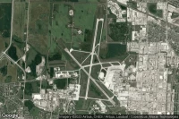
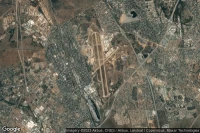
Wichita Falls (United State)
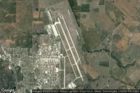
Sheppard Air Force Base-Wichita Falls Municipal airport aviation weather and facilities (KSPS SPS )
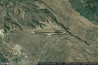
Roswell (United State)
Roswell International Air Center airport aviation weather and facilities (KROW ROW )


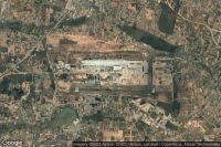
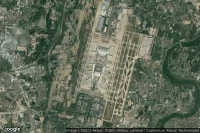
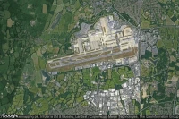
Dayton (United State)
Wright-Patterson Air Force Base airport aviation weather and facilities (KFFO FFO )


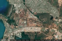
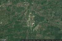
Cochabamba (Bolivia)
Jorge Wilsterman International airport aviation weather and facilities (SLCB CBB )
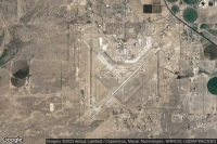
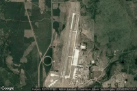
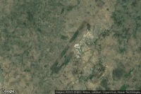
Knob Noster (United State)
Whiteman Air Force Base airport aviation weather and facilities (KSZL SZL )
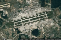

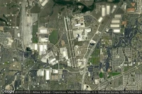
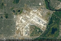
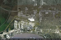
Detroit (United State)
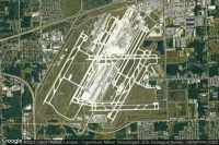
Detroit Metropolitan Wayne County airport aviation weather and facilities (KDTW DTW )
Bandar Seri Begawan (Brunei Darussalam)
Brunei International airport aviation weather and facilities (WBSB BWN )
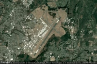
Warner Robins (United State)
Robins Air Force Base airport aviation weather and facilities (KWRB WRB )
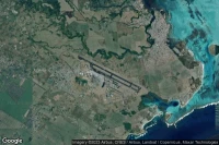
Fort Myers (United State)

Southwest Florida International airport aviation weather and facilities (KRSW RSW )
Fort Worth (United State)

NAS Fort Worth JRB/Carswell Field airport aviation weather and facilities (KNFW FWH )
Fort Wayne (United State)

Fort Wayne International airport aviation weather and facilities (KFWA FWA )
Newburgh (United State)
New York Stewart International airport aviation weather and facilities (KSWF SWF )
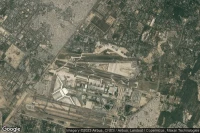
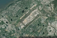
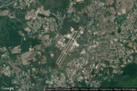
Diwopu Ürümqi (China)

Ürümqi Tianshan International airport aviation weather and facilities (ZWWW URC )


Springfield Chicopee (United State)
Westover ARB/Metropolitan airport aviation weather and facilities (KCEF CEF )
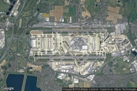
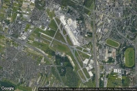
Washington (United State)
Washington Dulles International airport aviation weather and facilities (KIAD IAD )


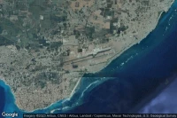
Plaine Magnein (Mauritius)
Sir Seewoosagur Ramgoolam International airport aviation weather and facilities (FIMP MRU )
Minneapolis (United State)
Minneapolis-Saint Paul International/Wold-Chamberlain airport aviation weather and facilities (KMSP MSP )
Bridgetown (Barbados)
Sir Grantley Adams International airport aviation weather and facilities (TBPB BGI )
Winnipeg (Canada)
Winnipeg / James Armstrong Richardson International airport aviation weather and facilities (CYWG YWG )
Newark (United State)
Newark Liberty International airport aviation weather and facilities (KEWR EWR )
Pretoria (South Africa)
Waterkloof Air Force Base airport aviation weather and facilities (FAWK WKF )


Baltimore Maryland Washington, D. C. (United State)

Baltimore/Washington International Thurgood Marshall airport aviation weather and facilities (KBWI BWI )


Wichita (United State)

Wichita Eisenhower National airport aviation weather and facilities (KICT ICT )


Peoria (United State)

General Wayne A. Downing Peoria International airport aviation weather and facilities (KPIA PIA )
New Orleans (United State)
Louis Armstrong New Orleans International airport aviation weather and facilities (KMSY MSY )


Data sources
- Infos générales : AVWX, France FFPLUM
- METAR : AVWX
- TAF : AVWX
- Météo générale : Openweathermap et AVWX
- NOTAM : FAA
- VAC : France DGAC/SIA, Espagne ENAIRE, Belgique SKEYES
- Aerial maps : Google Maps, Microsoft Bing ou OpenStreetMap