Les infos sur l'aéroport, de la carte aux hôtels en passant par les informations aéronautiques. Et la météo aéronautique pour les pilotes, les METAR (METeorological Aerodrome Report, message d'observation des conditions météorologiques pour l'aviation) et les TAF (Terminal Aerodrome Forecast : message de prévision à court terme des conditions météorologiques pour l'aviation). Et les autres ressources comme les cartes VAC (Visual Approach Chart) pour préprer les vols.


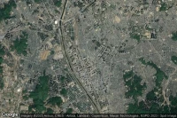
Umm al-Quwain (Emirats arabes unis)

Infos de héliport de 54 Sheik Ahmed Bin Rashid Al Moalla Street ( AE-0119)


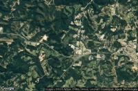


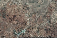


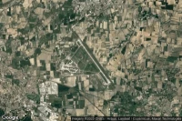
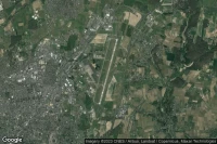
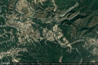
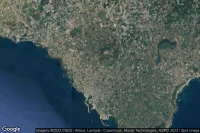
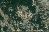
Torre Santa Susanna (Italie)
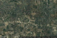
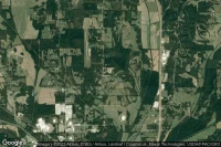
Infos de aéroport de Campo Di Volo Area 51 Torre Santa Susanna ( IT-0563)
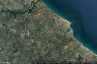


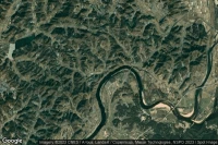
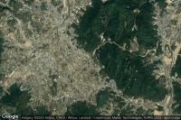

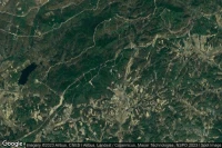
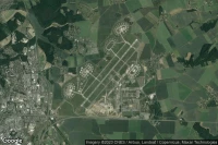
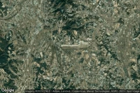
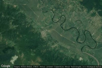
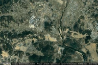
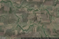
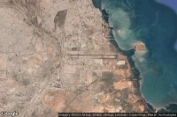
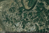
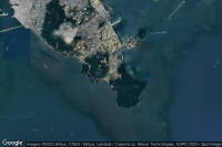
Sagot-ro, Paengnyongdo (Corée du Sud)

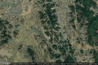
Infos de aéroport de Paengnyongdo Beach (Sagot Beach) (K-53) ( KR-0025)


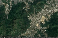


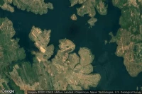
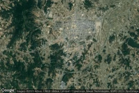
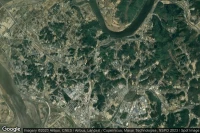
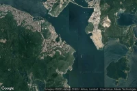
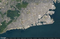
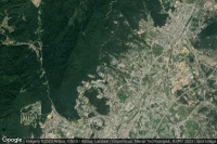
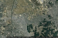
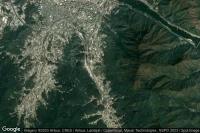
Busan (Yeoung-do) (Corée du Sud)
Infos de héliport de 53rd ROK Army Division 125th Regiment ( KR-0403)
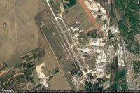
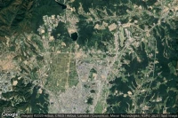
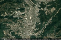
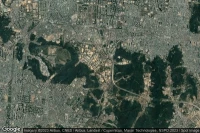
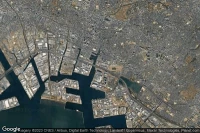
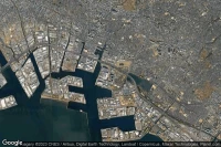
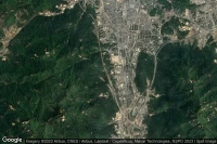
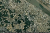
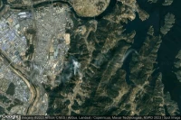
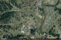
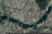
Seoul (Corée du Sud)

Infos de héliport de Hangang-ro Byucksan Megatrium 2005 Condominiumss ( KR-0683)


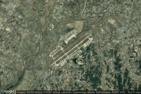
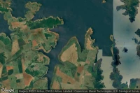
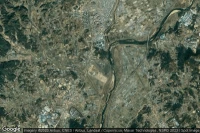
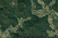
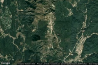
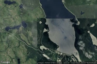
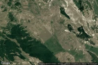
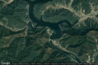
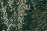
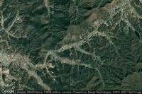
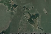
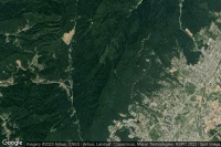
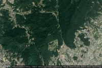
Jangsan-ri, Ganghyeon-myeon (Corée du Sud)
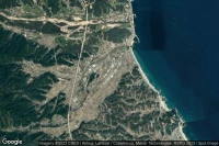
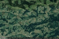
Infos de aéroport de Sokcho (Mulchi) (G-407/K-50) ( KR-1080)
Sources des données
- Infos générales : AVWX, France FFPLUM
- METAR : AVWX
- TAF : AVWX
- Météo générale : Openweathermap et AVWX
- NOTAM : FAA
- VAC : France DGAC/SIA, Espagne ENAIRE, Belgique SKEYES
- Vues aériennes : Google Maps, Microsoft Bing ou OpenStreetMap