Former airports, eaten away by urbanization or transformed into giant car parks. List of these places where planes landed. in Australia.
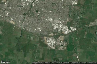
#1 Pakenham airport at Pakenham (Australia) YPAKdefunct airport
Altitude : 24 m = 79ft
Pakenham airport is located close to Pakenham, Pakenham at 2.4 km↑, Pakenham South at 5.9 km↑, Officer at 6.1 km↑, Cardinia at 7.4 km↑, Pakenham Upper at 8.6 km↑, Cardinia at 8.8 km↑,
-> Aviation weather for Pakenham airport
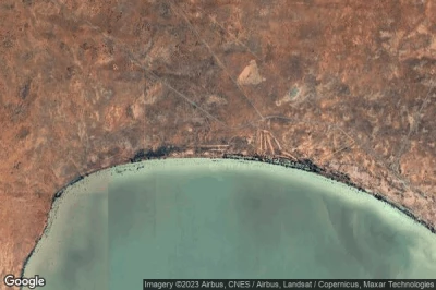
#2 Sunset Strip airport at Sunset Strip (Australia) AU-0486defunct airport
Altitude : 68 m = 223ft
Sunset Strip airport is located close to Sunset Strip, Menindee at 18 km↑, Broken Hill Municipality at 90 km↑, Broken Hill at 90 km↑, Torrowangee at 119 km↑, Cockburn at 125 km↑, Pooncarie at 126 km↑,
-> Aviation weather for Sunset Strip airport
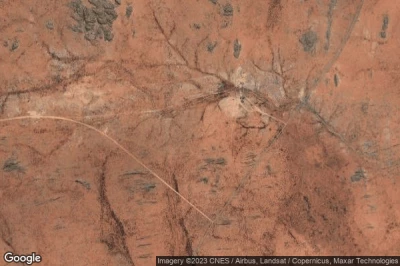
#3 Former Shark Bay airport at Denham (Australia) AU-0478defunct airport
Altitude : 5 m = 16ft
Former Shark Bay airport is located close to Denham, Denham at 5.9 km↑, Carnarvon at 113 km↑, Kalbarri at 207 km↑, Northampton at 258 km↑, Ogilvie at 273 km↑, Horrocks at 291 km↑,
-> Aviation weather for Former Shark Bay airport
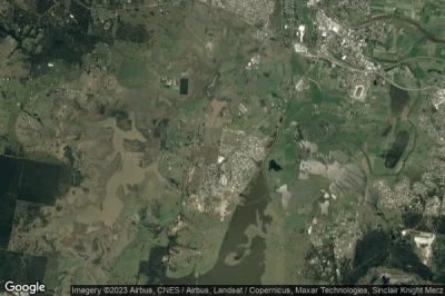
#4 RAAF Williams, Laverton Base airport at Laverton (Australia) YLVTdefunct airport
Altitude : 5 m = 16ft
RAAF Williams, Laverton Base airport is located close to Laverton, Laverton at 2.1 km↑, Hoppers Crossing at 4.6 km↑, Point Cook at 5.2 km↑, Truganina at 5.2 km↑, Derrimut at 5.3 km↑, Tarneit at 6.9 km↑,
-> Aviation weather for RAAF Williams, Laverton Base airport
#5 Wodgina airport at (Australia) YWDCdefunct airport
Altitude : 162 m = 531ft
Wodgina airport is located close to Port Hedland at 39 km↑, Port Hedland at 93 km↑, Marble Bar at 108 km↑, Point Samson at 165 km↑, Roebourne at 167 km↑, Nullagine at 167 km↑,
-> Aviation weather for Wodgina airport
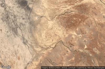
#6 Mount Cavenagh airport at (Australia) YMVG MKVdefunct airport
Altitude : 534 m = 1752ft
Mount Cavenagh airport is located close to Commonwealth of Australia at 210 km↑, Yulara at 236 km↑, Alice Springs at 257 km↑, Alice Springs at 261 km↑, Oodnadatta at 286 km↑, Coober Pedy at 371 km↑,
The longest runway measure : 700 m = 2297ft
- runway 18/36 : 700m = 2297ft
-> Aviation weather for Mount Cavenagh airport
#7 West Maitland airport at Gillieston Heights (Australia) YWMDdefunct airport
Altitude : 21 m = 69ft
West Maitland airport is located close to Gillieston Heights, Telarah at 2.6 km↑, Farley at 2.9 km↑, Maitland Municipality at 3.2 km↑, Maitland at 3.2 km↑, Lorn at 4.3 km↑, Rutherford at 4.5 km↑,
-> Aviation weather for West Maitland airport
#8 Five Mile Tank airport at (Australia) AU-0496defunct airport
Altitude : 70 m = 230ft
Five Mile Tank airport is located close to Diamantina at 139 km↑, Birdsville at 145 km↑, Barcoo at 176 km↑, Windorah at 188 km↑, Bedourie at 196 km↑, Innamincka at 234 km↑,
-> Aviation weather for Five Mile Tank airport
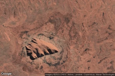
#9 Former Ayers Rock Connellan airport at Mutitjulu (Australia) AU-0481defunct airport
Altitude : 518 m = 1699ft
Former Ayers Rock Connellan airport is located close to Mutitjulu, Yulara at 12 km↑, Alice Springs at 333 km↑, Alice Springs at 339 km↑, Commonwealth of Australia at 399 km↑, Oodnadatta at 504 km↑, Coober Pedy at 548 km↑,
-> Aviation weather for Former Ayers Rock Connellan airport
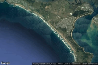
#10 Newhaven airport at (Australia) YNHEdefunct airport
Altitude : 14 m = 46ft
Newhaven airport is located close to Newhaven at 3.4 km↑, Rhyll at 7.6 km↑, Phillip Island at 9.3 km↑, Anderson at 12 km↑, Cowes at 12 km↑, Bass Coast at 14 km↑,
The longest runway measure : 900 m = 2953ft
- runway 04/22 : 900m = 2953ft
-> Aviation weather for Newhaven airport
#11 Corunna Downs (WW II) airport at Marble Bar (Australia) Y06Zdefunct airport
#12 Tuncurry airport at (Australia) AU-0428defunct airport
#13 Hopetoun airport at Hopetoun (Australia) AU-0001defunct airport
#14 Geelong airport at (Australia) AU-0220defunct airport
#15 Berwick airport at Berwick (Australia) YBERdefunct airport
#16 Wallan airport at (Australia) YWANdefunct airport
#17 Calga NDB airport at (Australia) YCAAdefunct airport
#18 Lancelin airport at Lancelin (Australia) YLCIdefunct airport
#19 Latrobe airport at Latrobe (Australia)defunct airport
#20 Kencherang airport at (Australia) YKNCdefunct airport
#21 Mount Mcquoid NDB airport at (Australia) YMQDdefunct airport
#22 Wickham airport at Wickham (Australia) YWKHdefunct airport
#23 Yarrowee airport at (Australia) YYWEdefunct airport
#24 Avon Valley NP Airstrip airport at (Australia) AU-0031defunct airport
#25 Meredith airport at (Australia) YEDHdefunct airport
#26 Breeza airport at (Australia) AU-0429defunct airport
#27 Winderadeen ALA airport at (Australia) YWDRdefunct airport
#28 Bromelton airport at (Australia) YBMLdefunct airport
#29 Yandicoogina airport at (Australia) YYCNdefunct airport
#30 Butch airport at (Australia) YBUCdefunct airport
#31 Yandoo Creek airport at Yandoo Creek (Australia) AU-0207defunct airport
#32 Ashburton Downs Homestead Airstrip airport at Ashburton Downs Homestead (Australia) YADHdefunct airport
#33 Grovedale airport at (Australia) AU-0221defunct airport
#34 Pell Airstrip airport at Adelaide River (Australia) AU-0500defunct airport
#35 Lake Pedder airport at (Australia) YLPRdefunct airport
#36 Casey Station airport at (Australia) YCSKdefunct airport
#37 Elderslie airport at (Australia) YELRdefunct airport
#38 Hutt River Airstrip airport at Nain (Australia) AU-0042defunct airport
#39 Williamsdale airport at (Australia) YWLEdefunct airport
#40 Tolarno Station airport at Menindee (Australia) AU-0484defunct airport
#41 Cooranbong airport at (Australia) YOOBdefunct airport
#42 Laguna Quays 3 airport at Laguna Quays (Australia) AU-0454defunct airport
#43 Bellata Airstrip airport at Bellata (Australia) YBETdefunct airport
#44 Livingstone Airstrip airport at Livingstone (Australia) AU-0501defunct airport
#45 Bindook NDB airport at (Australia) YBIKdefunct airport
#46 RAAF Base Mallala airport at Mallala (Australia) AU-0523defunct airport
#47 Strauss Airstrip airport at Noonamah (Australia) AU-0502defunct airport
#48 Gatton Campus airport at Gatton (Australia) YGATdefunct airport
#49 Greenthorpe airport at (Australia) AU-0430defunct airport
#50 Sale airport at (Australia) YSLTdefunct airport
#51 American River airport at American River (Australia)defunct airport
#52 Horse Hair Plain airport at Hotham (Australia) AU-0075defunct airport
#53 Dadswells Bridge airport at (Australia) YCFFdefunct airport
#54 Hoxton Park airport at (Australia) YHOXdefunct airport
Data sources
- AVWX (avwx.rest)
- Aerial maps : Google Maps (www.google.com), Microsoft Bing (www.microsoft.com) ou OpenStreetMap (www.openstreetmap.org)
