Former airports, eaten away by urbanization or transformed into giant car parks. List of these places where planes landed. in Botswana.
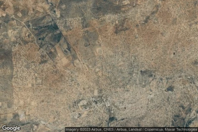
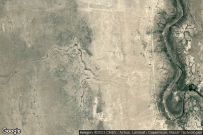
#1 Alpha airport at Lobatse (Botswana) BW-0020defunct airport
Altitude : 1158 m = 3799ft
Alpha airport is located close to Lobatse, Lobatse at 5.9 km↑, Otse at 20 km↑, South East District at 22 km↑, Janeng at 30 km↑, Magotane at 37 km↑, Ramotswa at 39 km↑,
-> Aviation weather for Alpha airport
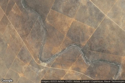
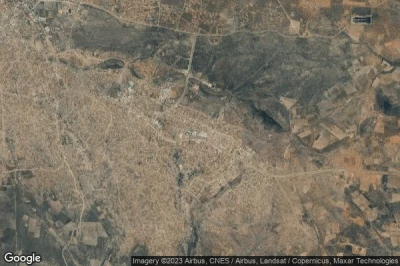
#2 Molepolole airport at Molepolole (Botswana) FBMLdefunct airport
Altitude : 1155 m = 3789ft
Molepolole airport is located close to Molepolole, Molepolole at 1.9 km↑, Borakalalop Camp at 2.2 km↑, Thamaga at 31 km↑, Lenchwe Le Tau at 36 km↑, Metsemotlhaba at 36 km↑, Marotse at 37 km↑,
-> Aviation weather for Molepolole airport
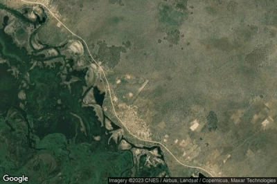
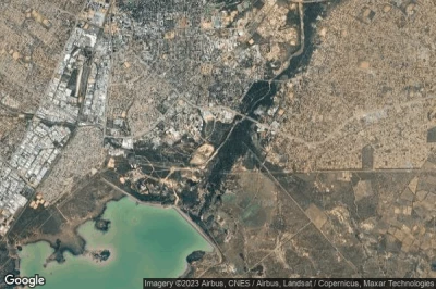
#3 Riverside Southeast airport at (Botswana) BW-0010defunct airport
Altitude : 1042 m = 3419ft
Riverside Southeast airport is located close to Werda at 24 km↑, Khakhea at 72 km↑, Sekoma at 111 km↑, Mabuli at 120 km↑, Tshabong at 133 km↑, Kgome at 142 km↑,
-> Aviation weather for Riverside Southeast airport
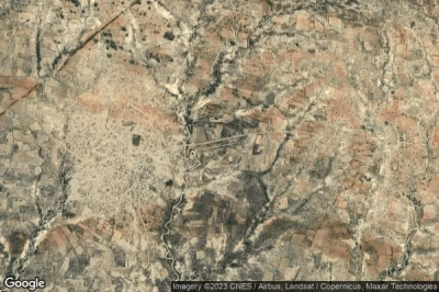
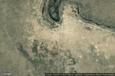
#4 Ngarangi airport at Ngarangi (Botswana) BW-0060defunct airport
Altitude : 1010 m = 3314ft
Ngarangi airport is located close to Ngarangi, Shakawe at 17 km↑, Nokaneng at 145 km↑, North West District at 187 km↑, Zambezi Region at 194 km↑, Tsau at 201 km↑, Maun at 231 km↑,
-> Aviation weather for Ngarangi airport
#5 Mapoka airport at Mapoka (Botswana) BW-0050defunct airport
Altitude : 1288 m = 4226ft
Mapoka airport is located close to Mapoka, Masunga at 20 km↑, Plumtree at 22 km↑, Sebina at 53 km↑, Makaleng at 53 km↑, North East District at 53 km↑, Mathambgwane at 59 km↑,
-> Aviation weather for Mapoka airport
#6 Rakops airport at Rakops (Botswana) FBRKdefunct airport
Altitude : 914 m = 2999ft
Rakops airport is located close to Rakops, Rakops at 1.9 km↑, Mopipi at 61 km↑, Orapa at 112 km↑, Gweta at 130 km↑, Letlhakane at 138 km↑, Maun at 148 km↑,
-> Aviation weather for Rakops airport
#7 TSHANE airport at Tshane (Botswana) FBTEdefunct airport
Altitude : 1100 m = 3609ft
TSHANE airport is located close to Tshane, Hukuntsi at 23 km↑, Lehututu at 36 km↑, Lokwabe at 36 km↑, Manyana at 71 km↑, Kgalagadi District at 120 km↑, Kang at 134 km↑,
-> Aviation weather for TSHANE airport
#8 Serowe airport at Serowe (Botswana) FBSRdefunct airport
Altitude : 1158 m = 3799ft
Serowe airport is located close to Serowe, Serowe at 6.1 km↑, Mmale at 28 km↑, Moijabana at 35 km↑, Palapye at 40 km↑, Letsheng at 55 km↑, Kalamare at 60 km↑,
-> Aviation weather for Serowe airport
#9 Gaborone Notwane airport at Gaborone Notwane (Botswana) BW-0061defunct airport
Altitude : 981 m = 3219ft
Gaborone Notwane airport is located close to Gaborone Notwane, Gaborone at 4 km↑, Madibeng at 4.4 km↑, Mogoditshane at 9.2 km↑, Nkoyaphiri at 12 km↑, Mmopone at 14 km↑, Gabane at 15 km↑,
-> Aviation weather for Gaborone Notwane airport
#10 Makalamabedi airport at Makalamabedi (Botswana) FBMMdefunct airport
Altitude : 945 m = 3100ft
Makalamabedi airport is located close to Makalamabedi, Maun at 62 km↑, Rakops at 89 km↑, Sehithwa at 122 km↑, Mopipi at 141 km↑, Gweta at 142 km↑, North West District at 149 km↑,
-> Aviation weather for Makalamabedi airport
#11 Satawani Airstrip airport at Santawani Lodge (Botswana) BW-0059defunct airport
#12 Xakanaxa Old airport at Xakanaxa (Botswana) BW-0031defunct airport
Data sources
- AVWX (avwx.rest)
- Aerial maps : Google Maps (www.google.com), Microsoft Bing (www.microsoft.com) ou OpenStreetMap (www.openstreetmap.org)

