Former airports, eaten away by urbanization or transformed into giant car parks. List of these places where planes landed. in Ireland.
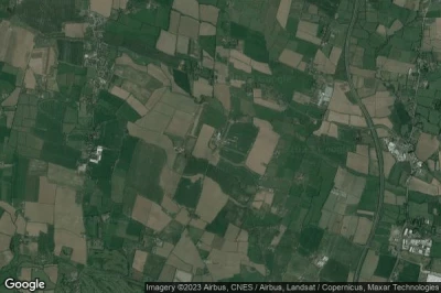
#1 Ballyboughal Aerodrome airport at Fingal (Ireland) EIBB EIBBdefunct airport
Altitude : 55 m = 180ft
Ballyboughal Aerodrome airport is located close to Fingal, Ballyboghil at 2.7 km↑, Swords at 5.3 km↑, Seafield at 5.3 km↑, Lusk at 5.4 km↑, Oldtown at 5.6 km↑, Donabate at 6 km↑,
-> Aviation weather for Ballyboughal Aerodrome airport
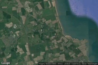
#2 Clifden Alcock & Brown airport at Laghtanabba (Ireland) IE-0006defunct airport
Altitude : 64 m = 210ft
Clifden Alcock & Brown airport is located close to Laghtanabba, Cleggan at 2.4 km↑, Emlagh at 3.6 km↑, Clifden at 7.8 km↑, Letterfrack at 8.9 km↑, Tullycross at 9.6 km↑, Dooveher at 27 km↑,
-> Aviation weather for Clifden Alcock & Brown airport
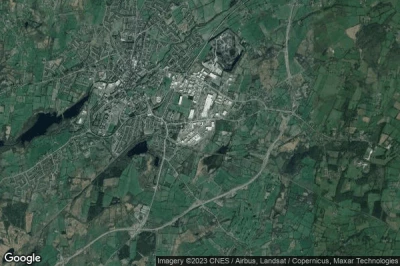
#3 Gormanstown airport at Gormanstown (Ireland) EIGMdefunct airport
Altitude : 21 m = 69ft
Gormanstown airport is located close to Gormanstown, Gormanston at 0.9 km↑, Mosney at 3.6 km↑, Balbriggan at 3.9 km↑, Balrothery at 4.4 km↑, Laytown at 5.3 km↑, Greenanstown at 6.1 km↑,
-> Aviation weather for Gormanstown airport
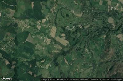
#4 Killenaule airport at Killenaule (Ireland) EIKIdefunct airport
Altitude : 207 m = 679ft
Killenaule airport is located close to Killenaule, Commons at 6.4 km↑, Ballingarry Bridge at 6.7 km↑, Renaghmore at 6.9 km↑, Killenaule at 7.7 km↑, Ballingarry at 8.3 km↑, Graystown at 9.5 km↑,
-> Aviation weather for Killenaule airport
#5 Castlebar airport at Castlebar (Ireland) EICBdefunct airport
Altitude : 41 m = 135ft
Castlebar airport is located close to Castlebar, Castlebar at 1.3 km↑, Maigh Eo at 6.1 km↑, Belcarra at 6.8 km↑, Ballyhean at 7.6 km↑, Ballintubber at 10 km↑, Clogher at 11 km↑,
-> Aviation weather for Castlebar airport
#6 Moyne Aerodrome airport at Thurles (Ireland) EIMYdefunct airport
Altitude : 122 m = 400ft
Moyne Aerodrome airport is located close to Thurles, Thurles at 6.9 km↑, Urlingford at 8.5 km↑, Crosspatrick at 10 km↑, Horse and Jockey at 11 km↑, Johnstown at 11 km↑, Holycross at 13 km↑,
The longest runway measure : 355 m = 1165ft
- runway 02/20 : 355m = 1165ft
-> Aviation weather for Moyne Aerodrome airport
#7 Moneygall airport at Moneygall (Ireland) EIMGdefunct airport
Altitude : 137 m = 449ft
Moneygall airport is located close to Moneygall, Moneygall at 3.7 km↑, Glenbreedy at 7.6 km↑, Dunkerrin at 8.5 km↑, Currabaha Cross at 9.1 km↑, Templederry at 9.8 km↑, Cloughjordan at 11 km↑,
-> Aviation weather for Moneygall airport
#8 Powerscourt airport at Powerscourt (Ireland) EIPTdefunct airport
Altitude : 143 m = 469ft
Powerscourt airport is located close to Powerscourt, Enniskerry at 2.4 km↑, Ballybrew at 2.8 km↑, Ballycoyle at 4.8 km↑, Glencullen at 5 km↑, Kilternan at 5.8 km↑, Golden Ball at 7.1 km↑,
-> Aviation weather for Powerscourt airport
#9 Ballinvally Farm Airstrip airport at Court (Ireland) IE-0012defunct airport
Altitude : 61 m = 200ft
Ballinvally Farm Airstrip airport is located close to Court, Ballycanew at 4.3 km↑, Coolroe at 5.9 km↑, Ballygarrett at 6.2 km↑, Kilmuckridge at 7.8 km↑, Camolin at 8.6 km↑, Gorey at 12 km↑,
-> Aviation weather for Ballinvally Farm Airstrip airport
#10 Castleforbes airport at Castleforbes (Ireland) EICSdefunct airport
Altitude : 46 m = 151ft
Castleforbes airport is located close to Castleforbes, Newtown Forbes at 1.3 km↑, Longford at 5.5 km↑, Drumlish at 6.2 km↑, Whitehall at 7.2 km↑, Killashee at 11 km↑, Dromod at 11 km↑,
-> Aviation weather for Castleforbes airport
#11 Inishbofin airport at Middlequarter (Ireland) IE-0007defunct airport
#12 Mallow International airport at Mallow (Ireland) IE-0003defunct airport
#13 Castlebridge airport at Wexford (Ireland) EICDdefunct airport
#14 Trevet airport at Dunshaughlin (Ireland) EITTdefunct airport
#15 Ballyboughal airport at (Ireland) EIBAdefunct airport
Data sources
- AVWX (avwx.rest)
- Aerial maps : Google Maps (www.google.com), Microsoft Bing (www.microsoft.com) ou OpenStreetMap (www.openstreetmap.org)


