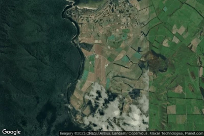
Former airports, eaten away by urbanization or transformed into giant car parks. List of these places where planes landed. in New Zealand.
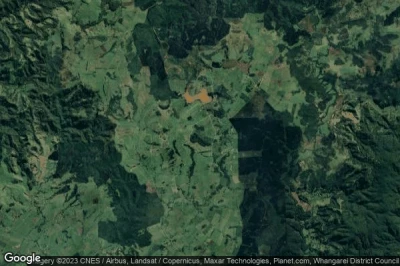
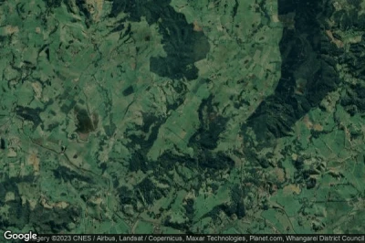
#1 Puhipuhi Airstrip airport at Whakapara (New Zealand) NZ-0082defunct airport
Altitude : 267 m = 876ft
Puhipuhi Airstrip airport is located close to Whakapara, Kawakawa at 21 km↑, Opua at 23 km↑, Moerewa at 24 km↑, Northland at 24 km↑, Ngunguru at 26 km↑, Riverside at 27 km↑,
-> Aviation weather for Puhipuhi Airstrip airport
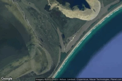
#2 Chatham Islands / Te Hapupu airport at Te One (New Zealand) NZ-0028defunct airport
Altitude : 11 m = 36ft
Chatham Islands / Te Hapupu airport is located close to Te One, Kaikoura District at 832 km↑, Cheviot at 846 km↑, Marlborough District at 858 km↑, Marlborough at 861 km↑, Little River at 871 km↑, Christchurch City at 875 km↑,
-> Aviation weather for Chatham Islands / Te Hapupu airport
#3 Paua airport at Te Kao (New Zealand) NZ-0040defunct airport
Altitude : 90 m = 295ft
Paua airport is located close to Te Kao, Awanui at 64 km↑, Taipa at 71 km↑, Kaitaia at 71 km↑, Ahipara at 72 km↑, Far North District at 76 km↑, Kaeo at 101 km↑,
-> Aviation weather for Paua airport
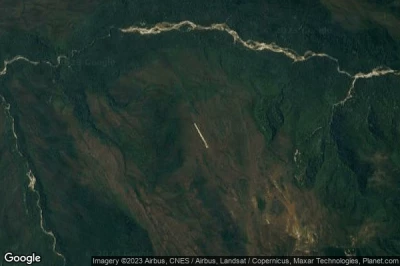
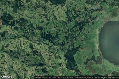
#4 Gorge Creek Airstrip airport at Haast (New Zealand) NZ-0025defunct airport
Altitude : 577 m = 1893ft
Gorge Creek Airstrip airport is located close to Haast, Milford Sound at 60 km↑, Queenstown-Lakes District at 70 km↑, Wanaka at 86 km↑, Creighton at 89 km↑, Arrowtown at 90 km↑, Lower Shotover at 94 km↑,
-> Aviation weather for Gorge Creek Airstrip airport
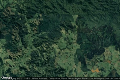
#5 Henty Airstrip airport at Whakapara (New Zealand) NZ-0081defunct airport
Altitude : 420 m = 1378ft
Henty Airstrip airport is located close to Whakapara, Kawakawa at 17 km↑, Opua at 19 km↑, Moerewa at 20 km↑, Northland at 22 km↑, Paihia at 23 km↑, Ngunguru at 30 km↑,
-> Aviation weather for Henty Airstrip airport
#6 Gibbs Airstrip airport at Whakapara (New Zealand) NZ-0083defunct airport
Altitude : 221 m = 725ft
Gibbs Airstrip airport is located close to Whakapara, Kawakawa at 22 km↑, Northland at 23 km↑, Riverside at 23 km↑, Moerewa at 25 km↑, Woodhill at 25 km↑, Ngunguru at 25 km↑,
-> Aviation weather for Gibbs Airstrip airport
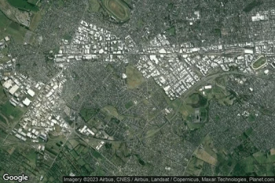
#7 Wigram airport at Christchurch (New Zealand) NZWGdefunct airport
Altitude : 23 m = 75ft
Wigram airport is located close to Christchurch, Halswell at 3.8 km↑, Riccarton at 3.9 km↑, Fendalton at 5.4 km↑, Christchurch at 6.7 km↑, Harewood at 8.2 km↑, Mairehau at 9.1 km↑,
-> Aviation weather for Wigram airport
#8 Ōkaihau South Airstrip airport at Ōkaihau (New Zealand) NZ-0067defunct airport
Altitude : 246 m = 807ft
Ōkaihau South Airstrip airport is located close to Ōkaihau, Okaihau at 5.4 km↑, Waimate North at 14 km↑, Waipapa at 23 km↑, Kerikeri at 23 km↑, Moerewa at 27 km↑, Kaeo at 28 km↑,
-> Aviation weather for Ōkaihau South Airstrip airport
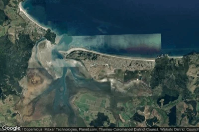
#9 Matarangi airport at (New Zealand) NZAGdefunct airport
Altitude : 3 m = 10ft
Matarangi airport is located close to Whitianga at 12 km↑, Coromandel at 14 km↑, Thames-Coromandel District at 30 km↑, Tairua at 36 km↑, Thames at 46 km↑, Whangamata at 56 km↑,
The longest runway measure : 780 m = 2559ft
- runway 03/21 : 780m = 2559ft
-> Aviation weather for Matarangi airport
#10 Te Anau airport at (New Zealand) NZTZdefunct airport
Altitude : 241 m = 791ft
Te Anau airport is located close to Te Anau at 5.3 km↑, Southland at 32 km↑, Southland District at 36 km↑, Lumsden at 66 km↑, Tuatapere at 75 km↑, Creighton at 77 km↑,
-> Aviation weather for Te Anau airport
#11 Auckland Hobsonville airport at (New Zealand) NZHBdefunct airport
#12 Ngahuha Airstrip airport at Pakaraka (New Zealand) NZ-0074defunct airport
#13 Pikes Point airport at Pikes Point (New Zealand) NZPKdefunct airport
#14 Arkwrights Airstrip/Dunsandel (Private) airport at (New Zealand) NZ-0006defunct airport
Data sources
- AVWX (avwx.rest)
- Aerial maps : Google Maps (www.google.com), Microsoft Bing (www.microsoft.com) ou OpenStreetMap (www.openstreetmap.org)
