heliports in Ghana.
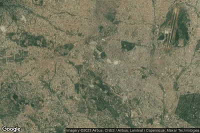
#1 Presidential Villa heliport at Accra (Ghana) GH-0005
Altitude : 48 m = 157ft
Presidential Villa heliport is located close to Accra, Accra at 2.3 km↑, Ridge at 3.3 km↑, Teshi at 9.1 km↑, Dom at 9.5 km↑, Madina at 12 km↑, Nungua at 13 km↑,
-> Aviation weather for Presidential Villa airport
#2 37 Military Hospital heliport at Accra (Ghana) GH-0003
Altitude : 39 m = 128ft
37 Military Hospital heliport is located close to Accra, Accra at 4 km↑, Ridge at 5 km↑, Dom at 8.5 km↑, Teshi at 8.7 km↑, Madina at 10 km↑, Nungua at 12 km↑,
-> Aviation weather for 37 Military Hospital airport
#3 Komfo Anokye Hospital heliport at Kumasi (Ghana) GH-0009
Altitude : 292 m = 958ft
Komfo Anokye Hospital heliport is located close to Kumasi, Kumasi at 0.9 km↑, Tafo at 4.6 km↑, Buokrom at 4.8 km↑, Bekwai at 28 km↑, Konongo at 46 km↑, Mampong at 48 km↑,
-> Aviation weather for Komfo Anokye Hospital airport
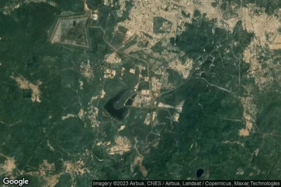
#4 Anglogold Ashanti Obuasi Mine heliport at Obuasi (Ghana) GH-0006
Altitude : 190 m = 623ft
Anglogold Ashanti Obuasi Mine heliport is located close to Obuasi, Obuasi at 5.2 km↑, Dunkwa at 25 km↑, Bekwai at 34 km↑, Twinsisim at 52 km↑, Kumasi at 58 km↑, Buokrom at 62 km↑,
-> Aviation weather for Anglogold Ashanti Obuasi Mine airport
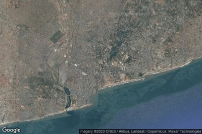
#5 Octagon heliport at Accra (Ghana) GH-0008
Altitude : 18 m = 59ft
Octagon heliport is located close to Accra, Ridge at 0.4 km↑, Accra at 0.9 km↑, Teshi at 11 km↑, Dom at 11 km↑, Gbawe at 12 km↑, Nungua at 15 km↑,
-> Aviation weather for Octagon airport
#6 Ghana Police Headquarters heliport at Accra (Ghana) GH-0004
Altitude : 28 m = 92ft
Ghana Police Headquarters heliport is located close to Accra, Accra at 1.8 km↑, Ridge at 2.7 km↑, Teshi at 9 km↑, Dom at 10 km↑, Madina at 13 km↑, Nungua at 13 km↑,
-> Aviation weather for Ghana Police Headquarters airport
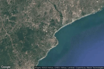
#7 White Sands Resort heliport at Gomoa Fetteh (Ghana) GH-0007
Altitude : 11 m = 36ft
White Sands Resort heliport is located close to Gomoa Fetteh, Kasoa at 13 km↑, Akwechi at 19 km↑, Winneba at 19 km↑, Gbawe at 24 km↑, Swedru at 28 km↑, Ridge at 33 km↑,
-> Aviation weather for White Sands Resort airport
Data sources
- AVWX (avwx.rest)
- Aerial maps : Google Maps (www.google.com), Microsoft Bing (www.microsoft.com) ou OpenStreetMap (www.openstreetmap.org)


