heliports in Ireland.
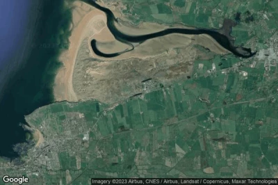
#1 Finner Camp heliport at Ballyshannon (Ireland) EIFR
Altitude : 33 m = 108ft
Finner Camp heliport is located close to Ballyshannon, Bundoran at 3.1 km↑, Ballyshannon at 3.8 km↑, Gubacreeny at 4.6 km↑, Kinlough at 5.5 km↑, Tullaghan at 6.4 km↑, Rossnowlagh Lower at 8 km↑,
- runway H/ : 20m = 66ft
-> Aviation weather for Finner Camp airport
#2 Tory Island Helistrip heliport at (Ireland) IE-0064
Altitude : 16 m = 52ft
Tory Island Helistrip heliport is located close to Falcarragh at 17 km↑, Derrybeg at 21 km↑, Bunbeg at 23 km↑, Gweedore at 24 km↑, Crolly at 27 km↑, Kincasslagh at 28 km↑,
-> Aviation weather for Tory Island Helistrip airport
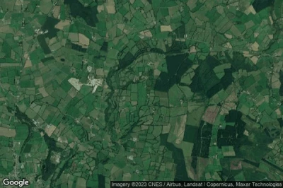
#3 Midland heliport at Abbeyleix (Ireland) EIIH
Altitude : 187 m = 614ft
Midland heliport is located close to Abbeyleix, Ballinakill at 3.7 km↑, Knocklead at 5.5 km↑, Abbeyleix at 6.4 km↑, Ballyroan at 6.6 km↑, Attanagh at 9.6 km↑, Wolfhill at 9.7 km↑,
The longest runway measure : 400 m = 1312ft
- runway 18/36 : 400m = 1312ft
-> Aviation weather for Midland airport
#4 Skellig Michael heliport at Portmagee (Ireland) IE-0066
Altitude : 25 m = 82ft
Skellig Michael heliport is located close to Portmagee, Portmagee at 18 km↑, Reenard Cross at 27 km↑, Cahersiveen at 29 km↑, Caherdaniel at 30 km↑, Ventry at 42 km↑, Rahtnnane at 43 km↑,
-> Aviation weather for Skellig Michael airport
#5 Knocksedan heliport at Knocksedan, Dublin (Ireland) IE-0055
Altitude : 64 m = 210ft
Knocksedan heliport is located close to Knocksedan, Dublin, Forrest Great at 1.4 km↑, Swords at 3.2 km↑, Saint Margaret’s at 3.4 km↑, Cloghran at 3.4 km↑, Coultry at 3.8 km↑, Feltrim at 6.2 km↑,
-> Aviation weather for Knocksedan airport
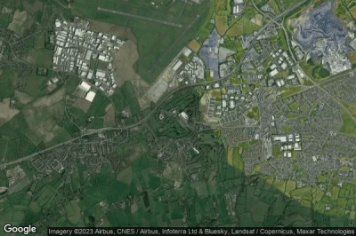
#6 Citywest heliport at Dublin (Ireland) IE-0058
Altitude : 114 m = 374ft
Citywest heliport is located close to Dublin, Saggart at 0.6 km↑, Rathcoole at 1.8 km↑, Redgap at 2.8 km↑, Belgard at 3.8 km↑, Tallaght at 4.8 km↑, Clondalkin at 5.4 km↑,
-> Aviation weather for Citywest airport
Data sources
- AVWX (avwx.rest)
- Aerial maps : Google Maps (www.google.com), Microsoft Bing (www.microsoft.com) ou OpenStreetMap (www.openstreetmap.org)


