heliports in Viet Nam.
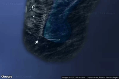
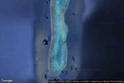
#1 Bãi Vũng Mây 2 (Kingston Shoal) heliport at Trường Sa (Viet Nam) VN-0052
Altitude : -3 m = -10ft
Bãi Vũng Mây 2 (Kingston Shoal) heliport is located close to Trường Sa, Kuala Belait at 439 km↑, Brighton at 441 km↑, Miri at 441 km↑, Seria at 446 km↑, Riam Road Bazaar at 448 km↑, Tutong at 458 km↑,
-> Aviation weather for Bãi Vũng Mây 2 (Kingston Shoal) airport
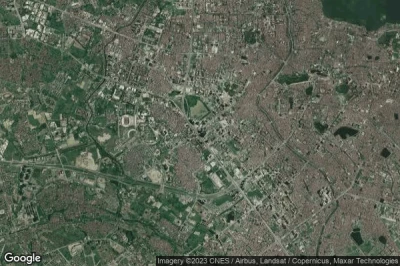
#2 Keangnam Tower B heliport at Hanoi Nam Tu Liem (Viet Nam) VN-0016
Altitude : 7 m = 23ft
Keangnam Tower B heliport is located close to Hanoi, Nam Tu Liem, Ha Dong at 5.3 km↑, Hanoï at 5.9 km↑, Xom Pho at 7.1 km↑, Hau Duong at 13 km↑, Thủ Ðô Hà Nội at 15 km↑, Tinh Ha Tay at 24 km↑,
-> Aviation weather for Keangnam Tower B airport
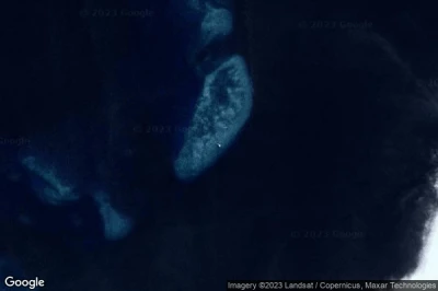
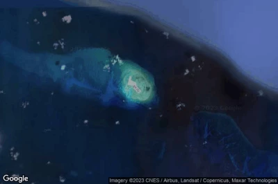
#3 Bãi Vũng Mây 1 (Orleana Shoal) heliport at Trường Sa (Viet Nam) VN-0051
Bãi Vũng Mây 1 (Orleana Shoal) heliport is located close to Trường Sa, Kuala Belait at 439 km↑, Miri at 443 km↑, Brighton at 443 km↑, Seria at 445 km↑, Riam Road Bazaar at 450 km↑, Tutong at 455 km↑,
-> Aviation weather for Bãi Vũng Mây 1 (Orleana Shoal) airport
#4 Đá Tây (West London Reef) heliport at Trường Sa (Viet Nam) VN-0007defunct airport
Altitude : -33 m = -108ft
Đá Tây (West London Reef) heliport is located close to Trường Sa, Phan Rang-Thap Cham at 464 km↑, Cam Ranh at 477 km↑, Tỉnh Ninh Thuận at 490 km↑, Ấp Vạn Tự Tây at 500 km↑, Nha Trang at 502 km↑, Thôn Ðiền Hạ at 502 km↑,
-> Aviation weather for Đá Tây (West London Reef) airport
#5 Đảo Sinh Tồn Đông (Sin Cowe East Island) heliport at Trường Sa (Sinh Tồn) (Viet Nam) VN-0027
Đảo Sinh Tồn Đông (Sin Cowe East Island) heliport is located close to Trường Sa (Sinh Tồn), Tagbita at 334 km↑, Panalingaan at 337 km↑, Conduaga at 341 km↑, Balabac at 348 km↑, Rio Tuba at 351 km↑, Tarusan at 352 km↑,
-> Aviation weather for Đảo Sinh Tồn Đông (Sin Cowe East Island) airport
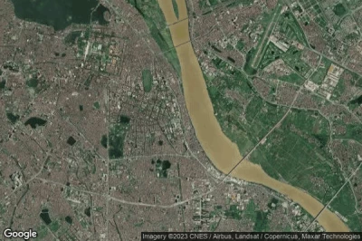
#6 108 Hospital Northeast heliport at Hanoi Hoan Kiem (Viet Nam) VN-0034
Altitude : 15 m = 49ft
108 Hospital Northeast heliport is located close to Hanoi, Hoan Kiem, Xom Pho at 1.8 km↑, Hanoï at 2.3 km↑, Ha Dong at 10 km↑, Thủ Ðô Hà Nội at 11 km↑, Hau Duong at 16 km↑, Bac Ninh at 27 km↑,
-> Aviation weather for 108 Hospital Northeast airport
#7 Đá Lớn (Discovery Great Reef) heliport at Trường Sa (Viet Nam) VN-0008
Đá Lớn (Discovery Great Reef) heliport is located close to Trường Sa, Tagbita at 411 km↑, Panalingaan at 415 km↑, Balabac at 419 km↑, Conduaga at 419 km↑, Ransang at 425 km↑, Rio Tuba at 427 km↑,
-> Aviation weather for Đá Lớn (Discovery Great Reef) airport
#8 Đảo An Bang (Amboyna Cay) heliport at Trường Sa (Trường Sa) (Viet Nam) VN-0021
Đảo An Bang (Amboyna Cay) heliport is located close to Trường Sa (Trường Sa), Labuan at 380 km↑, Victoria at 388 km↑, Bandar Labuan at 389 km↑, Kampong Serusup at 395 km↑, Muara at 396 km↑, Bandar Seri Begawan at 397 km↑,
-> Aviation weather for Đảo An Bang (Amboyna Cay) airport
#9 Đảo Sơn Ca (Sand Cay) heliport at Trường Sa (Sinh Tồn) (Viet Nam) VN-0025
Altitude : 1 m = 3ft
Đảo Sơn Ca (Sand Cay) heliport is located close to Trường Sa (Sinh Tồn), Tagbita at 366 km↑, Panalingaan at 368 km↑, Conduaga at 370 km↑, Ransang at 374 km↑, Eraan at 382 km↑, Tarusan at 383 km↑,
-> Aviation weather for Đảo Sơn Ca (Sand Cay) airport
#10 Ha Long heliport at Ha Long (Viet Nam) VN-0033
Altitude : 69 m = 226ft
Ha Long heliport is located close to Ha Long, Ha Long at 2.6 km↑, Cam Pha Mines at 26 km↑, Uong Bi at 30 km↑, Hải Phòng at 41 km↑, Tỉnh Quảng Ninh at 43 km↑, Thành Phố Hải Phòng at 51 km↑,
-> Aviation weather for Ha Long airport
#11 Đảo Nam Yết (Namyit Island) heliport at Trường Sa (Đảo Nam Yết Namyit island) (Viet Nam) VN-0006
#12 Central Pediatric Institute heliport at Hanoi Dong Da (Viet Nam) VN-0014
#13 Đảo Sinh Tồn (Sin Cowe Island) heliport at Trường Sa (Sinh Tồn) (Viet Nam) VN-0026
#14 108 Hospital South Tower heliport at Hanoi Hoan Kiem (Viet Nam) VN-0036
#15 Trường Sa Đông (Central London Reef) heliport at Trường Sa (Trường Sa) (Viet Nam) VN-0022
#16 Đảo Song Tử Tây (Southwest Cay) heliport at Trường Sa (Song Tử Tây) (Viet Nam) VN-0028
#17 Tuan Chau heliport at Ha Long (Viet Nam) VN-0032
#18 Đảo Trường Sa (Spratly Island) Hospital heliport at Trường Sa (Trường Sa) (Viet Nam) VN-0023
#19 Keangnam Hanoi Landmark Tower heliport at Hanoi Nam Tu Liem (Viet Nam) VN-0017
#20 Bach Mai heliport at Hanoi (Thanh Xuan) (Viet Nam) VN-0003
#21 Năm Căn heliport at Năm Căn (Viet Nam) VN-0011
#22 108 Hospital North Tower heliport at Hanoi Hoan Kiem (Viet Nam) VN-0035
#23 Bãi Vũng Mây 3 (Bombay Castle Shoal) heliport at Trường Sa (Viet Nam) VN-0053
#24 Đảo Phan Vinh (Pearson Reef A) heliport at Trường Sa (Đảo Phan Vinh Pearson Reef A) (Viet Nam) VN-0024
#25 Keangnam Tower A heliport at Hanoi Nam Tu Liem (Viet Nam) VN-0015
#26 Đảo Phan Vinh (Pearson Reef B) heliport at Trường Sa (Đảo Phan Vinh Pearson Reef B) (Viet Nam) VN-0009
Data sources
- AVWX (avwx.rest)
- Aerial maps : Google Maps (www.google.com), Microsoft Bing (www.microsoft.com) ou OpenStreetMap (www.openstreetmap.org)
