Airports at the highest altitudes, located in the mountains or on the highlands. A high altitude which rhymes with the drop in atmospheric pressure which increases the taxiing distance to allow planes to take off and therefore requires a longer runway than at lower altitudes. in Haiti.
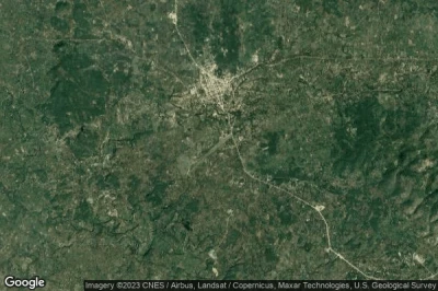
#1 Pignon airport at Pignon (Haiti) HT-0012
Altitude : 349 m = 1145ft
Pignon airport is located close to Pignon, Pignon at 1.1 km↑, Ranquitte at 11 km↑, Saint-Raphael at 15 km↑, Bahon at 16 km↑, Maissade at 18 km↑, Hinche at 22 km↑,
-> Aviation weather for Pignon airport
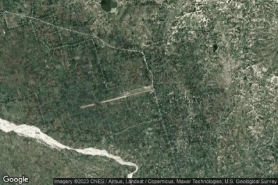
#2 Hinche airport at Hinche (Haiti) HT-0003
Altitude : 259 m = 850ft
Hinche airport is located close to Hinche, Hinche at 1.3 km↑, Maissade at 13 km↑, Thomonde at 15 km↑, Centre at 16 km↑, Thomassique at 20 km↑, Pignon at 24 km↑,
-> Aviation weather for Hinche airport
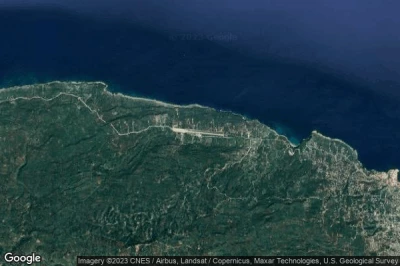
#3 Fond-des-Blancs airport at Fond-des-Blancs (Haiti) HT-0008
Altitude : 253 m = 830ft
Fond-des-Blancs airport is located close to Fond-des-Blancs, Fond des Blancs at 2.3 km↑, Cotes-de-Fer at 16 km↑, Miragoane at 18 km↑, Petite Riviere de Nippes at 25 km↑, Aquin at 30 km↑, Petit Goave at 30 km↑,
-> Aviation weather for Fond-des-Blancs airport
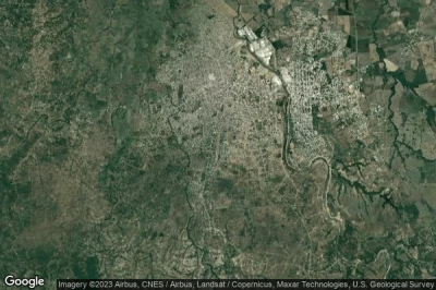
#4 Anse-Rouge airport at Anse-Rouge (Haiti) HT-0005
Altitude : 71 m = 233ft
Anse-Rouge airport is located close to Anse-Rouge, Anse Rouge at 4.3 km↑, Nord-Ouest at 9.4 km↑, Petite Anse at 9.5 km↑, Baie de Henne at 14 km↑, Arcahaie at 23 km↑, Jean-Rabel at 24 km↑,
-> Aviation weather for Anse-Rouge airport
#5 Les Cayes airport at Les Cayes (Haiti) MTCA CYA
Altitude : 62 m = 203ft
Les Cayes airport is located close to Les Cayes, Les Cayes at 8.9 km↑, Carrefour des Quatre Chemins at 8.9 km↑, Torbeck at 12 km↑, Chantal at 13 km↑, Sud at 13 km↑, Cavaillon at 15 km↑,
The longest runway measure : 981 m = 3219ft
- runway 08/26 : 981m = 3219ft
-> Aviation weather for Les Cayes airport
#6 Dame-Marie airport at Dame-Marie (Haiti) HT-0007
Altitude : 53 m = 174ft
Dame-Marie airport is located close to Dame-Marie, Dame-Marie at 5.6 km↑, Chambellan at 12 km↑, Abricots at 12 km↑, Moron at 18 km↑, Les Irois at 24 km↑, Tiburon at 32 km↑,
-> Aviation weather for Dame-Marie airport
#7 Jacmel airport at Jacmel (Haiti) MTJA JAK
Altitude : 51 m = 167ft
Jacmel airport is located close to Jacmel, Jacmel at 1.9 km↑, Cayes Jacmel at 13 km↑, Sud-Est at 14 km↑, Marigot at 21 km↑, Leogane at 32 km↑, Dufour at 33 km↑,
The longest runway measure : 1006 m = 3301ft
- runway 01/19 : 1006m = 3301ft
-> Aviation weather for Jacmel airport
#8 Jérémie airport at Jeremie (Haiti) MTJE JEE
Altitude : 45 m = 148ft
Jérémie airport is located close to Jeremie, Jeremie at 5.8 km↑, Carrefour Canot at 11 km↑, Moron at 14 km↑, Abricots at 14 km↑, Chambellan at 19 km↑, Dame-Marie at 28 km↑,
-> Aviation weather for Jérémie airport
#9 Toussaint Louverture International airport at Port-au-Prince (Haiti) MTPP PAP
Altitude : 37 m = 121ft
Toussaint Louverture International airport is located close to Port-au-Prince, Maïs Gâté at 0.9 km↑, Cazeau at 0.9 km↑, Delmas 73 at 4.1 km↑, Port-au-Prince at 6.4 km↑, Croix des Bouquets at 7.1 km↑, Petionville at 7.5 km↑,
The longest runway measure : 3040 m = 9974ft
- runway 10/28 : 3040m = 9974ft
-> Aviation weather for Toussaint Louverture International airport
#10 Ouanaminthe airport at Ouanaminthe (Haiti) HT-0010
Altitude : 37 m = 121ft
Ouanaminthe airport is located close to Ouanaminthe, Ouanaminthe at 1.5 km↑, Dajabon at 2.5 km↑, Ferrier at 11 km↑, Derac at 16 km↑, Mont Organise at 16 km↑, Loma de Cabrera at 18 km↑,
-> Aviation weather for Ouanaminthe airport
#11 Môle-Saint-Nicolas airport at Môle-Saint-Nicolas (Haiti) HT-0009
#12 Port-Salut airport at Port-Salut (Haiti) HT-0013
#13 Phaeton airport at Phaeton (Haiti) HT-0011
#14 Île-à-Vache International airport at Pradel (Haiti) HT-0004
#15 Anse-a-Galets airport at Anse-a-Galets (Haiti) HT-0002
#16 Cap Haitien International airport at Cap Haitien (Haiti) MTCH CAP
#17 Port-de-Paix airport at Port-de-Paix (Haiti) MTPX PAX
Data sources
- AVWX (avwx.rest)
- Aerial maps : Google Maps (www.google.com), Microsoft Bing (www.microsoft.com) ou OpenStreetMap (www.openstreetmap.org)


