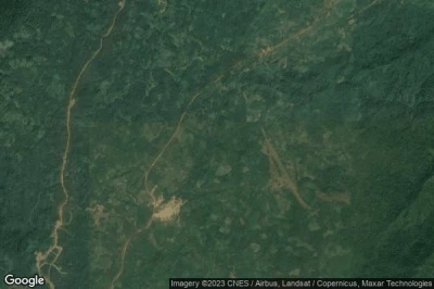
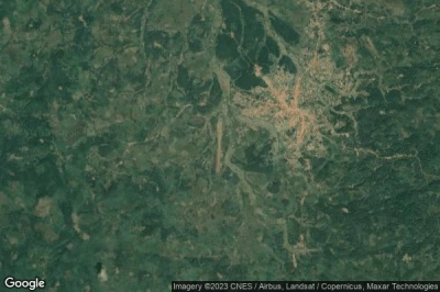
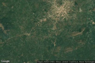
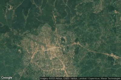
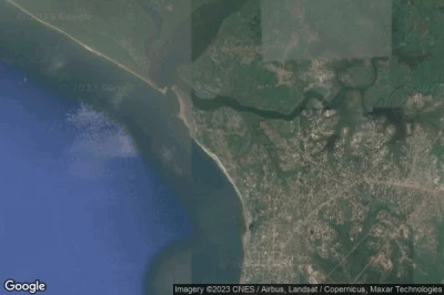
Airports at the highest altitudes, located in the mountains or on the highlands. A high altitude which rhymes with the drop in atmospheric pressure which increases the taxiing distance to allow planes to take off and therefore requires a longer runway than at lower altitudes. in Liberia.
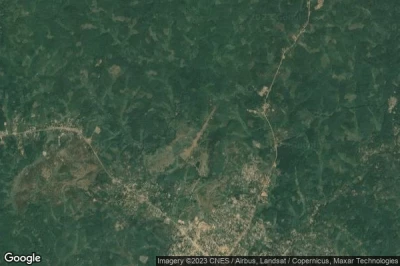
#1 Nimba airport at Nimba (Liberia) GLNA NIA
Altitude : 497 m = 1631ft
Nimba airport is located close to Nimba, New Yekepa at 11 km↑, Sanniquellie at 19 km↑, Ganta at 23 km↑, Lola at 34 km↑, Nzerekore at 37 km↑, Préfecture de Nzérékoré at 45 km↑,
-> Aviation weather for Nimba airport
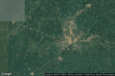
#2 Foya airport at Foya (Liberia) FOY
Altitude : 451 m = 1480ft
Foya airport is located close to Foya, Bwedu at 18 km↑, Gueckedou at 26 km↑, Préfecture de Guékédou at 35 km↑, Kailahun at 38 km↑, Tombodu at 49 km↑, Voinjama at 53 km↑,
-> Aviation weather for Foya airport
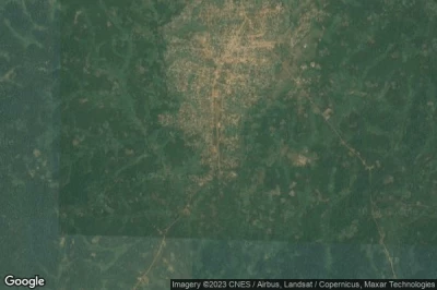
#3 Voinjama airport at Voinjama (Liberia) GLVA VOI
Altitude : 427 m = 1401ft
Voinjama airport is located close to Voinjama, Voinjama at 3.2 km↑, Macenta at 36 km↑, Préfecture de Macenta at 40 km↑, Gueckedou at 44 km↑, Préfecture de Guékédou at 61 km↑, Bwedu at 68 km↑,
-> Aviation weather for Voinjama airport
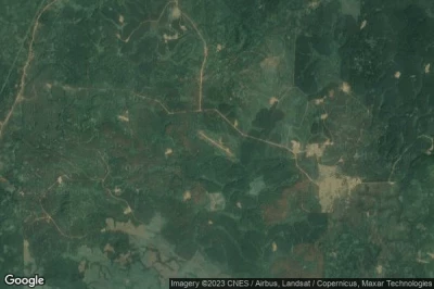
#4 United Methodist Mission airport at Ganta (Liberia) LR-0002
Altitude : 282 m = 925ft
United Methodist Mission airport is located close to Ganta, Sanniquellie at 33 km↑, Yomou at 48 km↑, Ganta at 50 km↑, Nzerekore at 60 km↑, Gbarnga at 61 km↑, New Yekepa at 62 km↑,
-> Aviation weather for United Methodist Mission airport
#5 Gbarnga airport at Gbarnga (Liberia) LR-0004
Altitude : 268 m = 879ft
Gbarnga airport is located close to Gbarnga, Gbarnga at 5.4 km↑, Yomou at 62 km↑, Sanniquellie at 93 km↑, Nzerekore at 108 km↑, Ganta at 109 km↑, Kakata at 111 km↑,
-> Aviation weather for Gbarnga airport
#6 Tapeta airport at Tapeta (Liberia) TPT
Altitude : 265 m = 869ft
Tapeta airport is located close to Tapeta, Toulepleu Guere at 50 km↑, Buutuo at 69 km↑, Sehnwehn at 69 km↑, Gbarnga at 86 km↑, Zwedru at 95 km↑, Ganta at 97 km↑,
-> Aviation weather for Tapeta airport
#7 Tchien airport at Tchien (Liberia) GLTN THC
Altitude : 241 m = 791ft
Tchien airport is located close to Tchien, Zwedru at 2.6 km↑, Sehnwehn at 31 km↑, Toulepleu Guere at 67 km↑, Moyen-Cavally at 82 km↑, Buutuo at 90 km↑, Guiglo at 90 km↑,
-> Aviation weather for Tchien airport
#8 Gozohn Camp airport at Gozohn Camp (Liberia) LR-0003
Altitude : 131 m = 430ft
Gozohn Camp airport is located close to Gozohn Camp, Buchanan at 39 km↑, Peabody Farm Two at 66 km↑, River Cess at 74 km↑, Kakata at 80 km↑, Bensonville at 101 km↑, Gbarnga at 105 km↑,
-> Aviation weather for Gozohn Camp airport
#9 Butaw airport at Butaw (Liberia) LR-0001
Altitude : 50 m = 164ft
Butaw airport is located close to Butaw, Greenville at 15 km↑, River Cess at 66 km↑, Barclayville at 107 km↑, Fish Town at 134 km↑, Buchanan at 135 km↑, Zwedru at 148 km↑,
-> Aviation weather for Butaw airport
#10 Buchanan airport at Buchanan (Liberia) GLBU UCN
Altitude : 12 m = 39ft
Buchanan airport is located close to Buchanan, Buchanan at 2.9 km↑, Peabody Farm Two at 49 km↑, River Cess at 72 km↑, Kakata at 77 km↑, Bensonville at 86 km↑, Fiamah at 87 km↑,
-> Aviation weather for Buchanan airport
#11 Grand Cess airport at Grand Cess (Liberia) GRC
#12 Roberts International airport at Monrovia (Liberia) GLRB ROB
#13 Lamco airport at Buchanan (Liberia) GLLB
#14 Spriggs Payne airport at Monrovia (Liberia) GLMR MLW
#15 Cape Palmas airport at Harper (Liberia) GLCP CPA
#16 Greenville Slnoe airport at Greenville (Liberia) GLGE SNI
#17 Sasstown airport at Sasstown (Liberia) GLST SAZ
Data sources
- AVWX (avwx.rest)
- Aerial maps : Google Maps (www.google.com), Microsoft Bing (www.microsoft.com) ou OpenStreetMap (www.openstreetmap.org)
