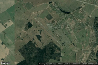
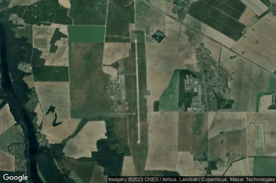
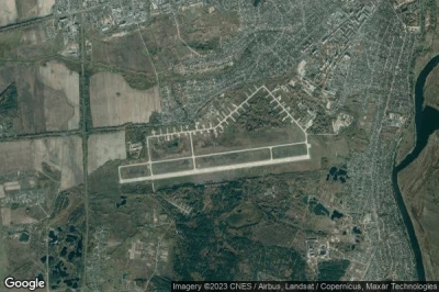
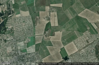
Los aeropuertos que tienen las pistas más largas, porque están en una altitud donde los aviones necesitan más velocidad para poder volar. Y pistas largas para acomodar aviones más grandes o aviones no estándar en Bielorrusia.
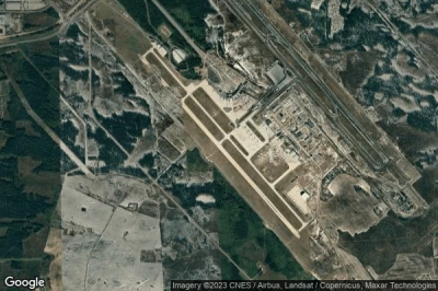
#1 aeropuerto Minsk National a Minsk (Bielorrusia) UMMS MSQ
Altitud : 204 m = 669ft
aeropuerto Minsk National se encuentra cerca de Minsk, Chirvonyy Luzhok a 2.6 km↑, Smol’nitsa a 9.2 km↑, Zamostochcha a 13 km↑, Minskaya Voblasts’ a 13 km↑, Smilavichy a 15 km↑, Smalyavitski Rayon a 16 km↑,
La medida de la pista más larga : 3641 m = 11946ft
- pista 13/31 : 3641m = 11946ft
-> tiempo de aviación para el aeropuerto del Minsk National
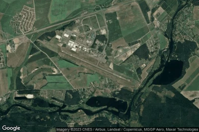
#2 aeropuerto Brest a Brest (Bielorrusia) UMBB BQT
Altitud : 143 m = 469ft
aeropuerto Brest se encuentra cerca de Brest, Shebrin a 0.9 km↑, Trishin a 10 km↑, Zhabinka a 13 km↑, Velikaya Kurnitsa a 13 km↑, Brest a 14 km↑, Volynka a 15 km↑,
La medida de la pista más larga : 2620 m = 8596ft
- pista 11/29 : 2620m = 8596ft
-> tiempo de aviación para el aeropuerto del Brest
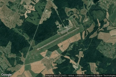
#3 aeropuerto Vitebsk Vostochny a Vitebsk (Bielorrusia) UMII VTB
Altitud : 208 m = 682ft
aeropuerto Vitebsk Vostochny se encuentra cerca de Vitebsk, Skinderovka a 2.9 km↑, Vitsyebsk a 12 km↑, Lyozna a 31 km↑, Krupenina a 35 km↑, Haradok a 44 km↑, Devino a 46 km↑,
La medida de la pista más larga : 2606 m = 8550ft
- pista 06/24 : 2606m = 8550ft
-> tiempo de aviación para el aeropuerto del Vitebsk Vostochny
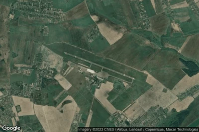
#4 aeropuerto Gomel a Gomel (Bielorrusia) UMGG GME
Altitud : 144 m = 472ft
aeropuerto Gomel se encuentra cerca de Gomel, Rzhavets a 1.1 km↑, Kastsyukowka a 6.8 km↑, Homyel a 11 km↑, Vyetka a 12 km↑, Yakubovka a 12 km↑, Dobrush a 25 km↑,
La medida de la pista más larga : 2570 m = 8432ft
- pista 11/29 : 2570m = 8432ft
-> tiempo de aviación para el aeropuerto del Gomel
#5 aeropuerto Mogilev a Mogilev (Bielorrusia) UMOO MVQ
Altitud : 194 m = 636ft
aeropuerto Mogilev se encuentra cerca de Mogilev, Lubnishche a 1.5 km↑, Vishow a 8.7 km↑, Zhukovo a 13 km↑, Gay a 13 km↑, Tishovka a 15 km↑, Polykovichi a 16 km↑,
La medida de la pista más larga : 2567 m = 8422ft
- pista 13/31 : 2567m = 8422ft
-> tiempo de aviación para el aeropuerto del Mogilev
#6 aeropuerto Hrodna a Hrodna (Bielorrusia) UMMG GNA
Altitud : 135 m = 443ft
aeropuerto Hrodna se encuentra cerca de Hrodna, Obukhovo a 1.9 km↑, Koshovniki a 12 km↑, Skidal a 13 km↑, Stryyewka a 16 km↑, Hrodna a 18 km↑, Prigorod Kolozha a 18 km↑,
La medida de la pista más larga : 2560 m = 8399ft
- pista 17/35 : 2560m = 8399ft
- pista 09/27 : 662m = 2172ft
-> tiempo de aviación para el aeropuerto del Hrodna
#7 aeropuerto Voirovka East a Voirovka (Bielorrusia) BY-0038
Altitud : 184 m = 604ft
aeropuerto Voirovka East se encuentra cerca de Voirovka, Samakhvalavichy a 14 km↑, Machulishchy a 18 km↑, Hatava a 19 km↑, Atolina a 20 km↑, Rudzyensk a 20 km↑, Prawdzinski a 21 km↑,
-> tiempo de aviación para el aeropuerto del Voirovka East
#8 aeropuerto Babruisk Air Base a Babruisk (Bielorrusia) UMNB
Altitud : 153 m = 502ft
aeropuerto Babruisk Air Base se encuentra cerca de Babruisk, Babruysk a 5.3 km↑, Slabodka a 6 km↑, Kiselevichi a 6.2 km↑, Titovka a 7.1 km↑, Yasnyy Les a 12 km↑, Novaya Derevnya a 13 km↑,
-> tiempo de aviación para el aeropuerto del Babruisk Air Base
#9 aeropuerto Pinsk / Galevo a Galevo (Bielorrusia) BY-0040
Altitud : 85 m = 279ft
aeropuerto Pinsk / Galevo se encuentra cerca de Galevo, Pinsk a 4.3 km↑, Horad Pinsk a 5.4 km↑, Lahishyn a 23 km↑, Zarichne a 38 km↑, Ivanava a 40 km↑, Mogil’na a 41 km↑,
-> tiempo de aviación para el aeropuerto del Pinsk / Galevo
#10 aeropuerto Avia-Mensk Airstrip a (Bielorrusia) BY-0041
Altitud : 239 m = 784ft
aeropuerto Avia-Mensk Airstrip se encuentra cerca de Azyartso a 1.4 km↑, Malinovka a 5 km↑, Shchomyslitsa a 5.1 km↑, Atolina a 6.7 km↑, Novoye Medvezhino a 7.6 km↑, Fanipol a 9.2 km↑,
-> tiempo de aviación para el aeropuerto del Avia-Mensk Airstrip
#11 aeropuerto Sula Airstrip a (Bielorrusia) BY-0042
#12 aeropuerto Minkavichi Agricultural Airstrip a Minkavichi (Bielorrusia) BY-0043
#13 aeropuerto Pribytki Air Base a Gomel (Bielorrusia) BY-4247
#14 aeropuerto Luninets Air Base a Luninets (Bielorrusia) BY-9934
#15 aeropuerto Orsha - Balbasovo Air Base a Orsha (Bielorrusia) TXC BY-0001
#16 aeropuerto Mestnyy a (Bielorrusia) BY-0037
#17 aeropuerto Borisovo a Barysava (Bielorrusia) UMBK
#18 aeropuerto Shchuchyn a Shchuchyn (Bielorrusia) UMDU
#19 aeropuerto Pruzhany Air Base a Pruzhany (Bielorrusia) UMNV
#20 aeropuerto Rogachev a Min'kov (Bielorrusia) UMGI
#21 aeropuerto Novo-Pashkovo a Mahiylow (Bielorrusia) UMNM
#22 aeropuerto Minsk Machulishchy a Minsk (Bielorrusia) UMLI
#23 aeropuerto Baranavichi Air Base a Baranavichi (Bielorrusia) UMMA
#24 aeropuerto Bobruisk Aeroclub a Babruysk (Bielorrusia) BY-0023
#25 aeropuerto Borovtsy Air Base a Polatsk (Bielorrusia) BY-0004
#26 aeropuerto Osovtsy Air Base a Byaroza (Bielorrusia) BY-0006
#27 aeropuerto Bel a Krichaw (Bielorrusia) BY-0008
#28 aeropuerto Lida Air Base a Lida (Bielorrusia) BY-0009
#29 aeropuerto Aerodrom Kukoviatsino a (Bielorrusia) BY-0012
#30 aeropuerto VD Bolshoy Bokov a Mazyr (Bielorrusia) BY-0013
#31 aeropuerto Lipki Air Base a (Bielorrusia) BY-0014
#32 aeropuerto Aerodrom Ozerki a (Bielorrusia) BY-0015
#33 aeropuerto Gorki a Gorki (Bielorrusia) BY-0016
#34 aeropuerto Dzerzhinsky Highway Strip a Dzerzhinsky (Bielorrusia) BY-0022
#35 aeropuerto Bobrovichi Air Base a Kalinovichi (Bielorrusia) BY-0003
#36 aeropuerto Karolin a Grodno (Bielorrusia) BY-0024
#37 aeropuerto Voirovka a Voirovka (Bielorrusia) BY-0025
#38 aeropuerto Kisyali a Kisyali (Bielorrusia) BY-0027
#39 aeropuerto Vidzy Airstrip a Vidzy (Bielorrusia) BY-0028
#40 aeropuerto Kliepačy Airstrip a (Bielorrusia) BY-0029
#41 aeropuerto Suklina Airstrip a (Bielorrusia) BY-0031
#42 aeropuerto Mazalovo Airstrip a Mazalovo (Bielorrusia) BY-0032
#43 aeropuerto Stepanovo Airstrip a (Bielorrusia) BY-0033
#44 aeropuerto Obsianka Airstrip a (Bielorrusia) BY-0034
#45 aeropuerto Ptsich Airstrip a Ptich (Bielorrusia) BY-0035
Fuentes de datos
- AVWX (avwx.rest)
- Vista aérea : Google Maps (www.google.com), Microsoft Bing (www.microsoft.com) ou OpenStreetMap (www.openstreetmap.org)
