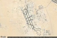
Airport information, from map to hotels via aeronautical information. And the aeronautical weather for the pilots with current weather and short-term forecasts with METAR (METeorological Aerodrome Report, observation message of meteorological conditions for aviation) and TAF (Terminal Aerodrome Forecast: short-term forecast message of meteorological conditions for aviation ). And other resources such as VAC (Visual Approach Chart) to prepare flights.
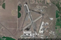
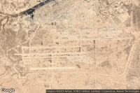
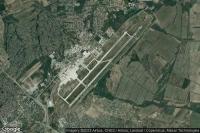
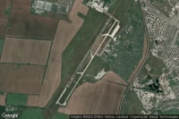
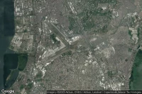
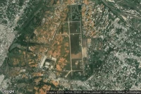
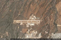
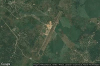
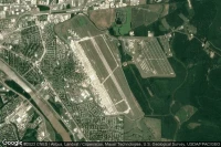
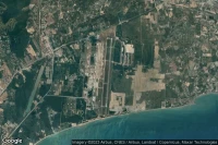
Titusville (United State)
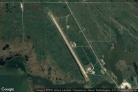
Nasa Shuttle Landing Facility airport aviation weather and facilities (KTTS )

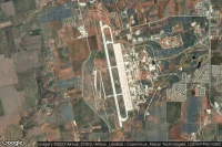
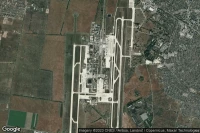
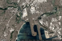
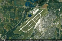
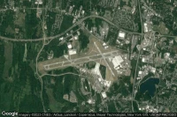
New York (United State)

John F Kennedy International airport aviation weather and facilities (KJFK JFK JFK)
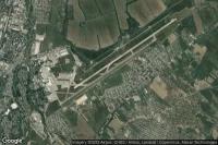


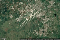
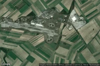
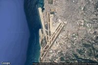
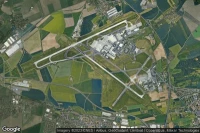
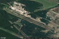
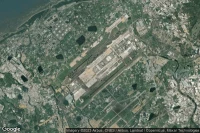
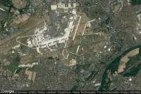
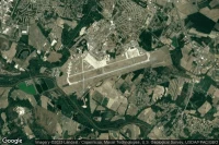
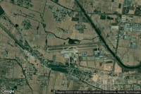
Paris Roissy-en-France (France)
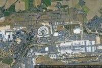
Paris Charles de Gaulle International airport aviation weather and facilities (LFPG CDG )
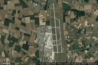
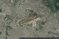
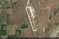
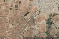
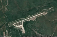
Fort Bliss El Paso (United State)

Biggs Army Air Field (Fort Bliss) airport aviation weather and facilities (KBIF BIF )
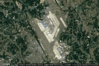
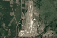
Moses Lake (United State)
Grant County International airport aviation weather and facilities (KMWH MWH )

Colorado Springs (United State)
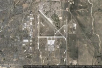
City of Colorado Springs Municipal airport aviation weather and facilities (KCOS COS )
Rapid City (United State)

Ellsworth Air Force Base airport aviation weather and facilities (KRCA RCA )
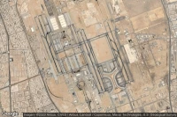
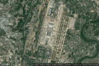
Abu Dhabi (United Arab Emirates)
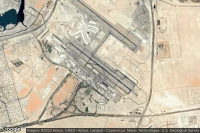
Zayed International airport aviation weather and facilities (OMAA AUH )


Guadalajara (Mexico)
Don Miguel Hidalgo Y Costilla International airport aviation weather and facilities (MMGL GDL )
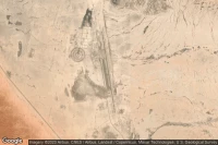
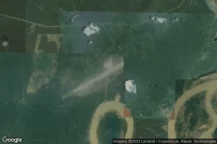
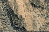
Dugway Proving Ground (United State)
Michael AAF (Dugway Proving Ground) airport aviation weather and facilities (KDPG DPG )

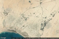
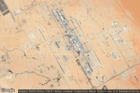
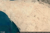
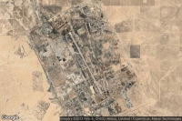
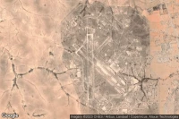
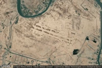
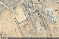
Jeddah (Saudi Arabia)
King Abdulaziz International airport aviation weather and facilities (OEJN JED )
Sydney (Australia)
Sydney Kingsford Smith International airport aviation weather and facilities (YSSY SYD )
Mexico City (Mexico)
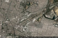
Licenciado Benito Juarez International airport aviation weather and facilities (MMMX MEX )

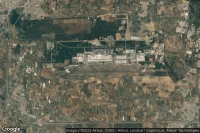
Dayton (United State)
Wright-Patterson Air Force Base airport aviation weather and facilities (KFFO FFO )


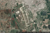
Beirut (Lebanon)
Beirut Rafic Hariri International airport aviation weather and facilities (OLBA BEY )
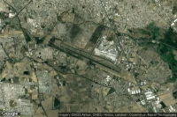
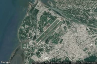
Ho Chi Minh City (Viet Nam)
Tan Son Nhat International airport aviation weather and facilities (VVTS SGN )


Honolulu (United State)

Daniel K Inouye International airport aviation weather and facilities (PHNL HNL )
Diego Garcia (British Indian Ocean Territory)

Diego Garcia Naval Support Facility airport aviation weather and facilities (FJDG NKW )


Salt Lake City (United State)
Salt Lake City International airport aviation weather and facilities (KSLC SLC )
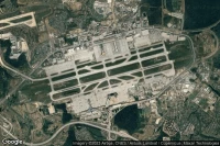
Detroit (United State)
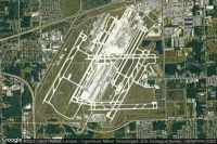
Detroit Metropolitan Wayne County airport aviation weather and facilities (KDTW DTW )
Taichung City (Taiwan)
Taichung Ching Chuang Kang airport aviation weather and facilities (RCMQ RMQ )
Fort Myers (United State)

Southwest Florida International airport aviation weather and facilities (KRSW RSW )
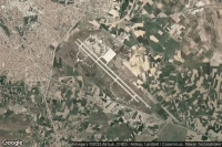
Fort Wayne (United State)

Fort Wayne International airport aviation weather and facilities (KFWA FWA )
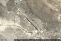
Fort Huachuca Sierra Vista (United State)
Sierra Vista Municipal Libby Army Air Field airport aviation weather and facilities (KFHU FHU )
Cincinnati (United State)

Cincinnati Northern Kentucky International airport aviation weather and facilities (KCVG CVG )


Newburgh (United State)
New York Stewart International airport aviation weather and facilities (KSWF SWF )

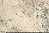
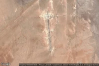
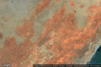
Tamanrasset (Algeria)
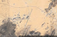
Tamanrasset - Aguenar - Hadj Bey Akhamok airport aviation weather and facilities (DAAT TMR )


Goldsboro (United State)
Seymour Johnson Air Force Base airport aviation weather and facilities (KGSB GSB )
Bossier City (United State)
Barksdale Air Force Base airport aviation weather and facilities (KBAD BAD )
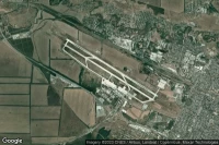
Blytheville (United State)
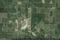
Arkansas International airport aviation weather and facilities (KBYH BYH )
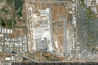
Phoenix (United State)

Phoenix Sky Harbor International airport aviation weather and facilities (KPHX PHX )
Data sources
- Infos générales : AVWX, France FFPLUM
- METAR : AVWX
- TAF : AVWX
- Météo générale : Openweathermap et AVWX
- NOTAM : FAA
- VAC : France DGAC/SIA, Espagne ENAIRE, Belgique SKEYES
- Aerial maps : Google Maps, Microsoft Bing ou OpenStreetMap