Les infos sur l'aéroport, de la carte aux hôtels en passant par les informations aéronautiques. Et la météo aéronautique pour les pilotes, les METAR (METeorological Aerodrome Report, message d'observation des conditions météorologiques pour l'aviation) et les TAF (Terminal Aerodrome Forecast : message de prévision à court terme des conditions météorologiques pour l'aviation). Et les autres ressources comme les cartes VAC (Visual Approach Chart) pour préprer les vols.

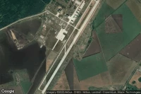


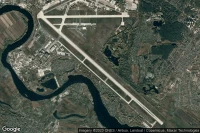
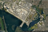
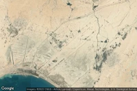
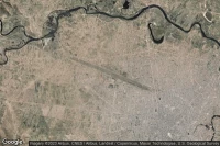
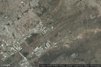
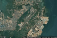
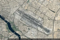
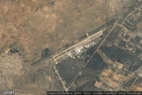
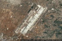
Kinshasa (République démocratique du Congo)
Météo aéro et infos de aéroport de Ndjili International (FZAA FIH )

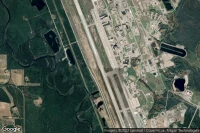
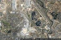
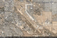
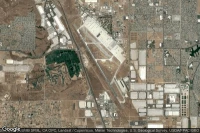
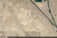
Victorville (Etats-Unis)
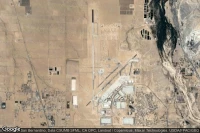
Météo aéro et infos de aéroport de Southern California Logistics (KVCV VCV )


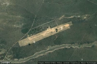
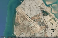
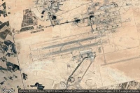
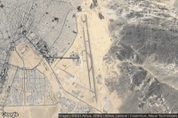
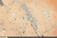
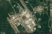
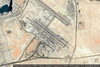
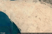
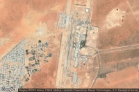
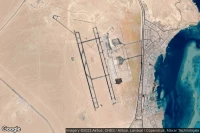
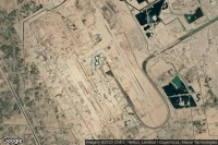
Jebel Ali Dubai (Emirats arabes unis)
Météo aéro et infos de aéroport d'Al Maktoum International (OMDW DWC )


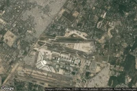

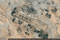


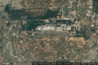

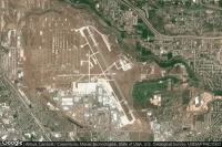
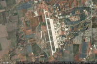
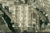
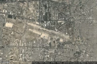
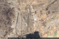
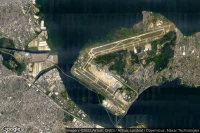
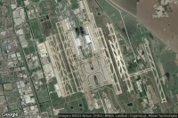
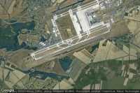
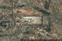
Paris Roissy-en-France (France)
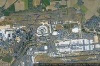
Météo aéro et infos de aéroport de Paris Charles De Gaull'International (LFPG CDG )
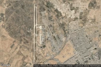
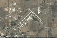
Albuquerque (Etats-Unis)
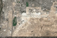
Météo aéro et infos de aéroport d'Albuquerque International Sunport (KABQ ABQ )

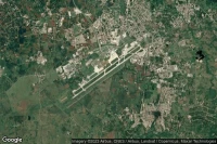
Toluca (Mexique)
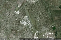
Météo aéro et infos de aéroport de Licenciado Adolfo Lopez Mateos International (MMTO TLC )

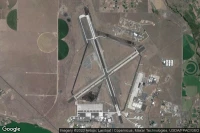
Fort Bliss El Paso (Etats-Unis)

Météo aéro et infos de aéroport de Biggs Army Air Field (Fort Bliss) (KBIF BIF )

Lemoore (Etats-Unis)
Météo aéro et infos de aéroport de Lemoore Naval Air Station (Reeves Field) (KNLC NLC )
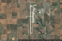
Mountain Home (Etats-Unis)
Météo aéro et infos de aéroport de Mountain Home Air Force Base (KMUO MUO )
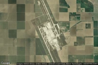
Amarillo (Etats-Unis)
Météo aéro et infos de aéroport de Rick Husband Amarillo International (KAMA AMA )


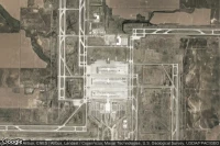
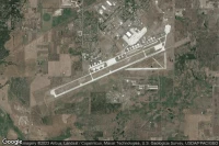
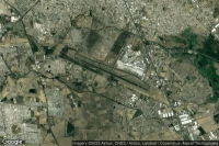
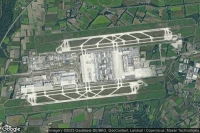
Dallas Fort Worth (Etats-Unis)
Météo aéro et infos de aéroport de Dallas Fort Worth International (KDFW DFW )

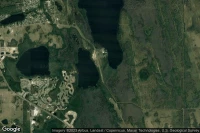


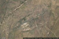
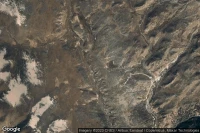
Louis Trichardt Southwest (Afrique du Sud)
Météo aéro et infos de aéroport de Makhado Air Force Base (FALM )
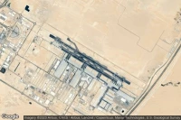
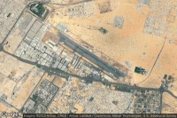
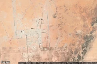
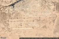
Medina (Arabie Saoudite)
Météo aéro et infos de aéroport de Prince Mohammad Bin Abdulaziz (OEMA MED )
Guadalajara (Mexique)
Météo aéro et infos de aéroport de Don Miguel Hidalgo Y Costill'International (MMGL GDL )

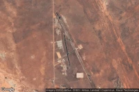
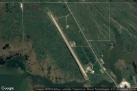
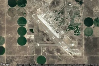
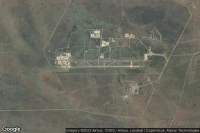
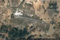
Dugway Proving Ground (Etats-Unis)
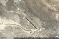
Météo aéro et infos de aéroport de Michael AAF (Dugway Proving Ground) (KDPG DPG )


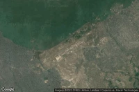
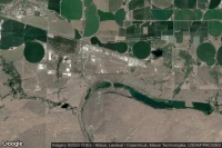
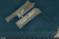
Rio De Janeiro (Brésil)
Météo aéro et infos de aéroport de Rio Galeão – Tom Jobim International (SBGL GIG )

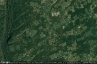
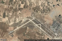
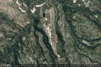
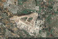
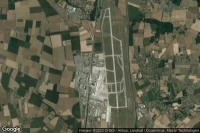
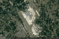
Ciudad Real Puertollano (Espagne)
Météo aéro et infos de aéroport de Ciudad Real International (LERL CQM )
Sources des données
- Infos générales : AVWX, France FFPLUM
- METAR : AVWX
- TAF : AVWX
- Météo générale : Openweathermap et AVWX
- NOTAM : FAA
- VAC : France DGAC/SIA, Espagne ENAIRE, Belgique SKEYES
- Vues aériennes : Google Maps, Microsoft Bing ou OpenStreetMap