A- A+

nearest Tarbes-Lourdes-Pyrénées airportNorfolk International airportJohn F Kennedy International airportGifu airportWesterland Sylt airport

Airport information, from map to hotels via aeronautical information. And the aeronautical weather for the pilots with current weather and short-term forecasts with METAR (METeorological Aerodrome Report, observation message of meteorological conditions for aviation) and TAF (Terminal Aerodrome Forecast: short-term forecast message of meteorological conditions for aviation ). And other resources such as VAC (Visual Approach Chart) to prepare flights.

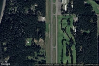
Lopez (United State)

Vue aérienne de Lopez Island

Lopez Island airport facilities ( LPS S31)

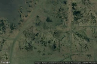
Sadler (United State)

Vue aérienne de Graham Field

Graham Field airport facilities ( XS31)

Intercoastal City (United State)

Vue aérienne de Fresh Water Bayou

Fresh Water Bayou heliport facilities ( LS31)

Bethel (United State)

Vue aérienne de Brubaker

Brubaker heliport facilities ( PS31)

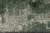
Houston (United State)

Vue aérienne de Williams Tower Garage

Williams Tower Garage heliport facilities ( TS31)

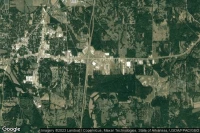
Batesville (United State)

Vue aérienne de Panola Medical Center

Panola Medical Center heliport facilities ( MS31)

Wayside (United State)

Vue aérienne de Otto-Gibbons

Otto-Gibbons airport facilities ( WS31)

Channahon (United State)

Vue aérienne de M G T Channahon Illinois

M G T Channahon Illinois heliport facilities ( IS31)

Data sources