Información del aeropuerto, desde mapa hasta hoteles e información aeronáutica. Y el tiempo aeronáutico para los pilotos, el METAR (METeorological Aerodrome Report, mensaje de observación de condiciones meteorológicas para la aviación) y el TAF (Terminal Aerodrome Forecast: mensaje de pronóstico a corto plazo de las condiciones meteorológicas para la aviación). Y otros recursos como VAC (Visual Approach Chart) para preparar vuelos.

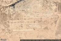
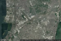
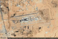
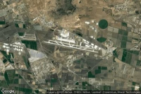
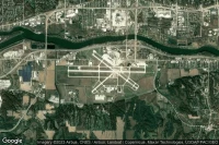
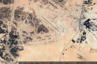
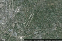
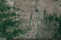
Albuquerque (Estados Unidos)
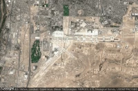
TAF y news del aeropuerto Albuquerque International Sunport (KABQ ABQ )
METAR TAF


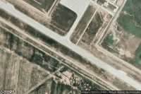
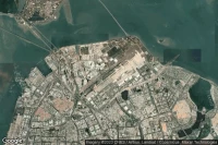
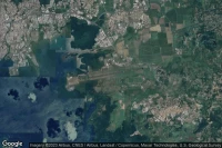
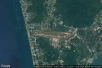
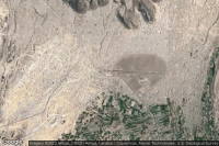
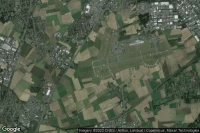
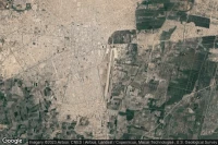
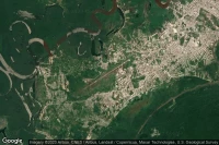
Ho Chi Minh City (Vietnam)
TAF y news del aeropuerto Tan Son Nhat International (VVTS SGN )
METAR TAF
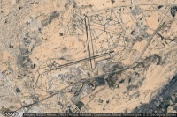


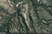
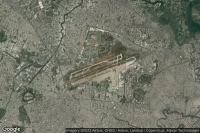
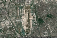
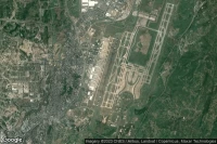
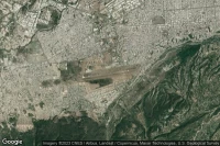
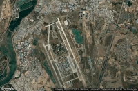
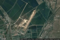
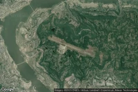
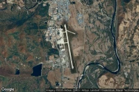
Jiaozhou, Qingdao (China)

TAF y news del aeropuerto Qingdao Jiaodong International (ZSQD TAO )
METAR TAF


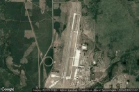
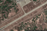
Fort-de-France (Martinica)
TAF y news del aeropuerto Martinique Aimé Césaire International (TFFF FDF )
METAR TAF


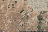
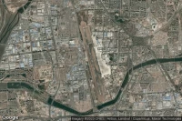
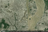
Barranquilla (Colombia)
TAF y news del aeropuerto Ernesto Cortissoz International (SKBQ BAQ )
METAR TAF


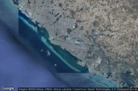
Guayaquil (Ecuador)
TAF y news del aeropuerto José Joaquín De Olmedo International (SEGU GYE )
METAR TAF
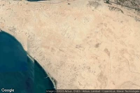
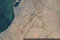
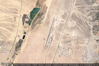
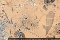
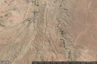
Liberia (Costa Rica)
TAF y news del aeropuerto Daniel Oduber Quiros International (MRLB LIR )
METAR TAF


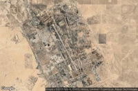
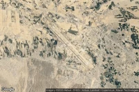
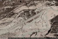
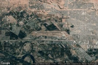
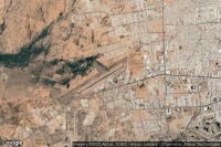
Palm Springs (Estados Unidos)

TAF y news del aeropuerto Jacqueline Cochran Regional (KTRM TRM )
METAR TAF

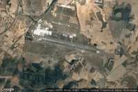
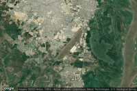
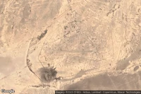
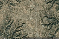
Chiclayo (Perú)
TAF y news del aeropuerto Capitan FAP Jose A Quinones Gonzales International (SPHI CIX )
METAR TAF
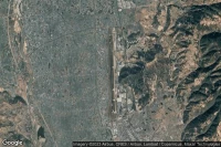
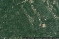
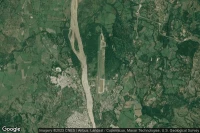
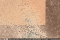
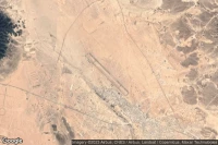
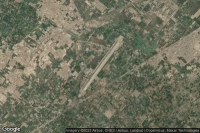
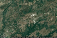
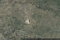
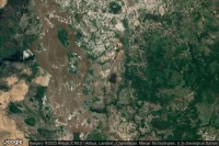
Alta Floresta (Brasil)

TAF y news del aeropuerto Piloto Osvaldo Marques Dias (SBAT AFL MT0003)
METAR TAF


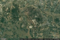
Iquitos (Perú)
TAF y news del aeropuerto Coronel FAP Francisco Secada Vignetta International (SPQT IQT )
METAR TAF


Fuentes de datos
- Infos générales : AVWX, France FFPLUM
- METAR : AVWX et NOAA
- TAF : AVWX et NOAA
- Météo générale : Openweathermap et AVWX
- NOTAM : FAA
- VAC : France DGAC/SIA, Espagne ENAIRE, Belgique SKEYES
- Vista aérea : Google Maps, Microsoft Bing ou OpenStreetMap