Airport information, from map to hotels via aeronautical information. And the aeronautical weather for the pilots with current weather and short-term forecasts with METAR (METeorological Aerodrome Report, observation message of meteorological conditions for aviation) and TAF (Terminal Aerodrome Forecast: short-term forecast message of meteorological conditions for aviation ). And other resources such as VAC (Visual Approach Chart) to prepare flights.
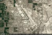
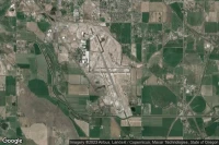
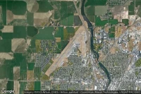
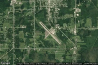
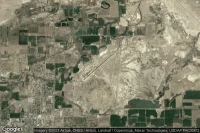
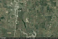
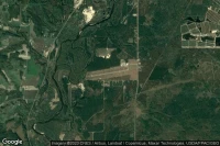
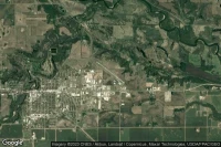
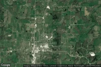
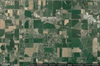
Wichita Falls (United State)
Sheppard Air Force Base-Wichita Falls Municipal airport aviation weather and facilities (KSPS SPS )
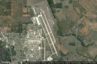
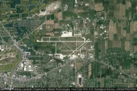
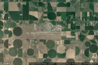
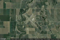
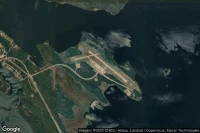
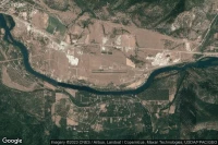
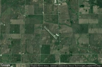
Great Falls (United State)
Great Falls International airport aviation weather and facilities (KGTF GTF )
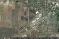
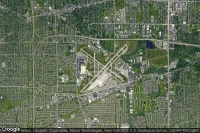
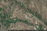
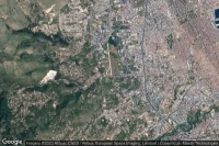
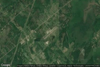
Klamath Falls (United State)
Crater Lake-Klamath Regional airport aviation weather and facilities (KLMT LMT )

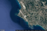
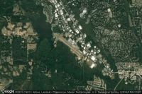
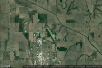
Niagara Falls (United State)
Niagara Falls International airport aviation weather and facilities (KIAG IAG )
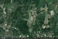
Falmouth (United State)
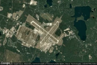
Cape Cod Coast Guard Air Station airport aviation weather and facilities (KFMH FMH )

Twin Falls (United State)
Joslin Field Magic Valley Regional airport aviation weather and facilities (KTWF TWF )
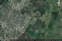
Buffalo (United State)
Buffalo Niagara International airport aviation weather and facilities (KBUF BUF )
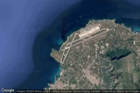
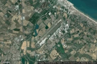
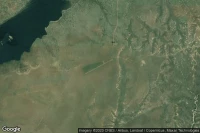
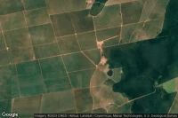
Victoria Falls (Zimbabwe)

Victoria Falls International airport aviation weather and facilities (FVFA VFA )
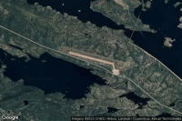
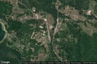
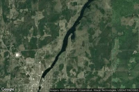
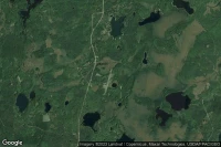
International Falls (United State)
Falls International airport aviation weather and facilities (KINL INL )
Thief River Falls (United State)
Thief River Falls Regional airport aviation weather and facilities (KTVF TVF )
Sterling Rockfalls (United State)

Whiteside County-Joseph H Bittorf Field airport aviation weather and facilities (KSQI SQI )

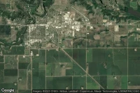
Fergus Falls (United State)
Fergus Falls Municipal - Einar Mickelson Field airport aviation weather and facilities (KFFM FFM )


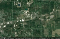
Glens Falls (United State)
Floyd Bennett Memorial airport aviation weather and facilities (KGFL GFL )
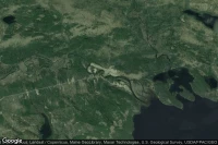
San Vicente Del Caguán (Colombia)
Eduardo Falla Solano airport aviation weather and facilities (SKSV SVI )

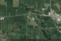
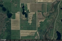
Black River Falls (United State)
Black River Falls Area airport aviation weather and facilities (KBCK )


Redwood Falls (United State)
Redwood Falls Municipal airport aviation weather and facilities (KRWF RWF )


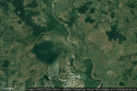
Little Falls (United State)
Little Falls-Morrison County-Lindbergh field airport aviation weather and facilities (KLXL )


Granite Falls (United State)

Granite Falls Municipal-Lenzen-Roe Memorial Field airport aviation weather and facilities (KGDB )


Data sources
- Infos générales : AVWX, France FFPLUM
- METAR : AVWX
- TAF : AVWX
- Météo générale : Openweathermap et AVWX
- NOTAM : FAA
- VAC : France DGAC/SIA, Espagne ENAIRE, Belgique SKEYES
- Aerial maps : Google Maps, Microsoft Bing ou OpenStreetMap