Airport information, from map to hotels via aeronautical information. And the aeronautical weather for the pilots with current weather and short-term forecasts with METAR (METeorological Aerodrome Report, observation message of meteorological conditions for aviation) and TAF (Terminal Aerodrome Forecast: short-term forecast message of meteorological conditions for aviation ). And other resources such as VAC (Visual Approach Chart) to prepare flights.


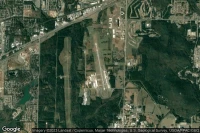
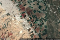
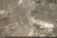
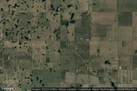
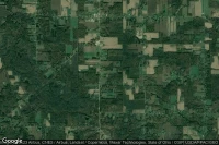
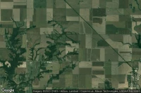
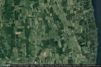
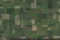
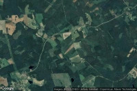
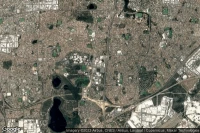
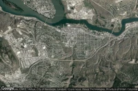
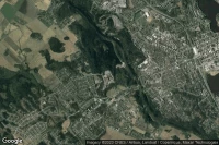
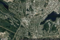
Scottsbluff (United State)

Western Neb. Rgnl/William B. Heilig airport aviation weather and facilities (KBFF BFF )
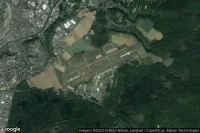

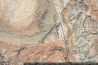
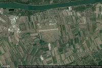
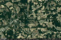
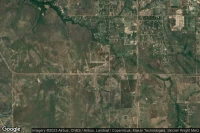
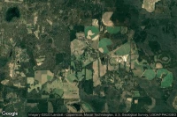
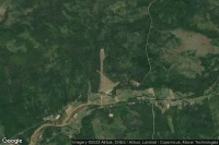
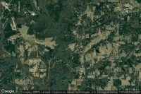
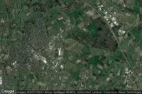
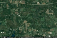
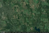
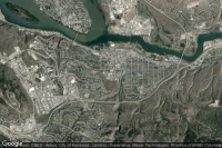
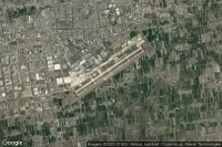
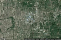
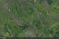
Redstone Arsnl Huntsville (United State)
Redstone Army Air Field airport aviation weather and facilities (KHUA HUA )
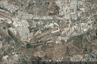

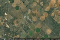


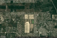

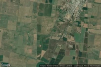
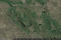
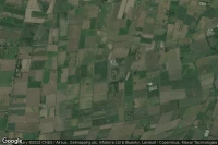
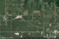
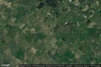
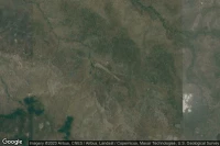
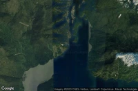
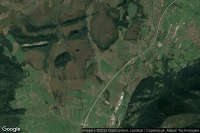
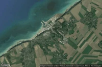
McKinley Park (United State)
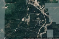
McKinley National Park airport aviation weather and facilities (PAIN MCL )
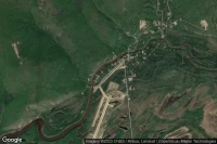


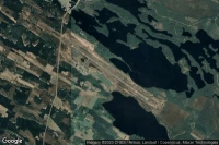
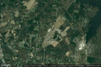
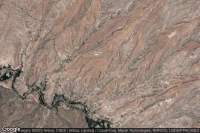
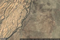
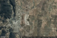
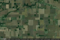
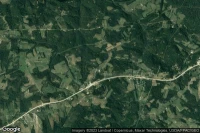
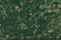
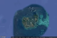
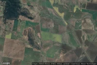
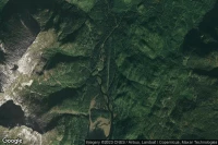
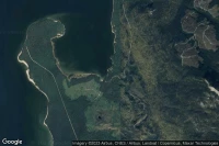
Little Churchill River (Canada)

Little Churchill River / Dunlop's Fly-In Lodge airport facilities ( CJN7)
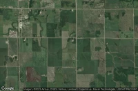


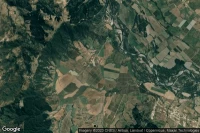

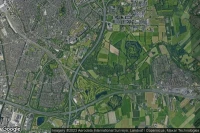
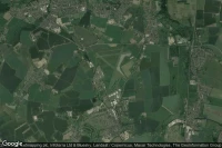
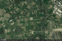
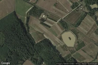
Großenkneten (Germany)

Ahlhorn Highway Strip Autobahn-Notlandeplatz NLP airport facilities ( DE-0002)


Data sources
- Infos générales : AVWX, France FFPLUM
- METAR : AVWX
- TAF : AVWX
- Météo générale : Openweathermap et AVWX
- NOTAM : FAA
- VAC : France DGAC/SIA, Espagne ENAIRE, Belgique SKEYES
- Aerial maps : Google Maps, Microsoft Bing ou OpenStreetMap