A- A+

nearest Salamanca airportGeneral Manuel Carlos Piar International airportGeneral Mariano Escobedo International airportCañal Bajo Carlos - Hott Siebert airportBadajoz airport

Airport information, from map to hotels via aeronautical information. And the aeronautical weather for the pilots with current weather and short-term forecasts with METAR (METeorological Aerodrome Report, observation message of meteorological conditions for aviation) and TAF (Terminal Aerodrome Forecast: short-term forecast message of meteorological conditions for aviation ). And other resources such as VAC (Visual Approach Chart) to prepare flights.

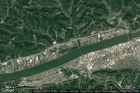
Martinsburg (United State)
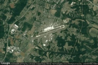
Vue aérienne de Eastern WV Regional/Shepherd Field

Eastern WV Regional/Shepherd Field airport aviation weather and facilities (KMRB MRB )

Chesapeake Huntington Wva (United State)

Vue aérienne de Lawrence County Airpark

Lawrence County Airpark airport facilities (KHTW HTW )

Newville (United State)

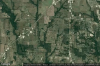
Vue aérienne de Heberlig

Heberlig airport facilities ( PS02)

Elk River (United State)

Vue aérienne de Meadowvale

Meadowvale airport facilities ( MN40)

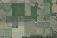
Lewvan (Canada)

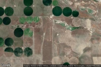
Vue aérienne de Lewvan (Farr Strip)

Lewvan (Farr Strip) airport facilities ( CLW2)

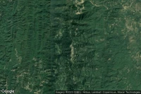
Kawrtethawveng (India)

Vue aérienne de Kawrtethawveng

Kawrtethawveng heliport facilities ( IN-0237)

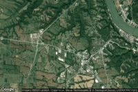
Maysville (United State)

Vue aérienne de Meadowview Regional Medical Center

Meadowview Regional Medical Center heliport facilities ( 8KY9)

Greeville (United State)

Vue aérienne de Meadowview

Meadowview airport facilities ( US-0053)

Snowville (United State)

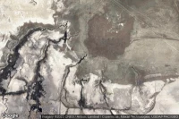
Vue aérienne de Locomotive Springs Airstrip

Locomotive Springs Airstrip airport facilities ( US-1533)

Snowville (United State)

Vue aérienne de Curlew Valley

Curlew Valley airport facilities ( US-5709)

Data sources