Airport information, from map to hotels via aeronautical information. And the aeronautical weather for the pilots with current weather and short-term forecasts with METAR (METeorological Aerodrome Report, observation message of meteorological conditions for aviation) and TAF (Terminal Aerodrome Forecast: short-term forecast message of meteorological conditions for aviation ). And other resources such as VAC (Visual Approach Chart) to prepare flights.


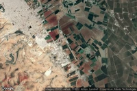
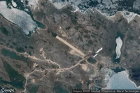
Anchorage (United State)
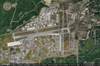
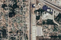
Elmendorf Air Force Base airport aviation weather and facilities (PAED EDF )
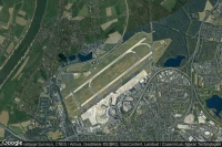

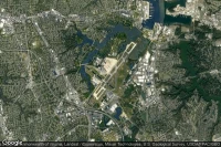

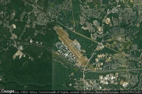
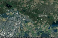
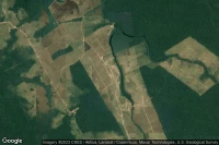
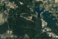
Norfolk (United State)
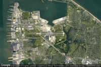
Norfolk Naval Station (Chambers Field) airport aviation weather and facilities (KNGU NGU )
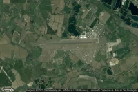
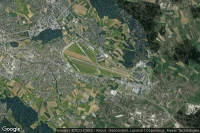
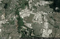
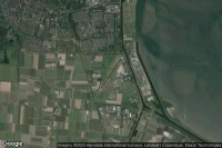
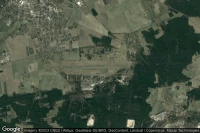
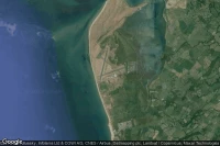
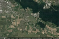
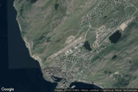
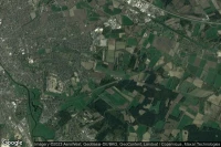
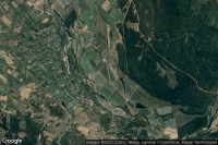
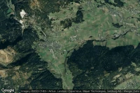
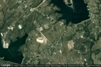
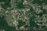
Kerkyra Island (Greece)
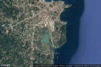
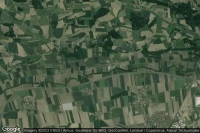
Ioannis Kapodistrias International airport aviation weather and facilities (LGKR CFU )
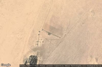
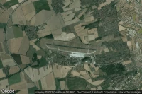
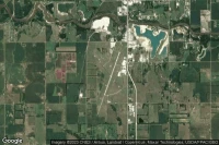
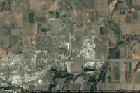
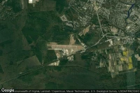
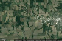
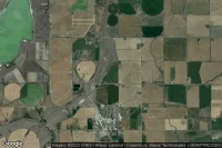
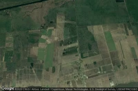
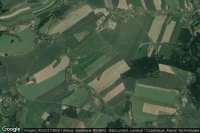
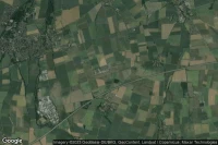
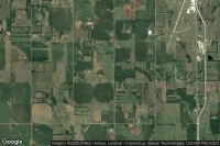
Sterling Rockfalls (United State)

Whiteside County-Joseph H Bittorf Field airport aviation weather and facilities (KSQI SQI )
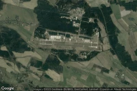
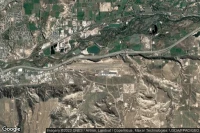
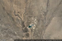
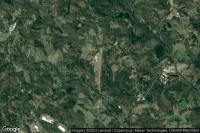
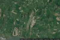
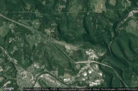
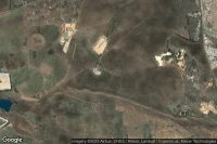
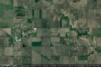
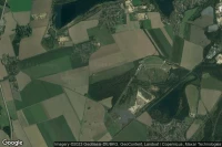
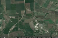
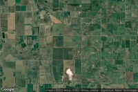
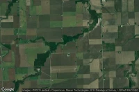
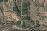
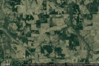
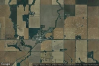
Spearfish (United State)

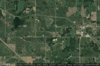
Black Hills-Clyde Ice Field airport aviation weather and facilities (KSPF SPF )
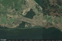
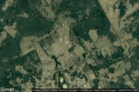
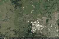
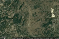
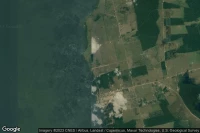
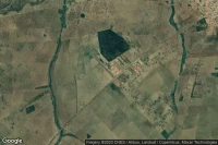
Burnt Pine (Norfolk Island)
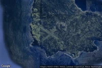
Norfolk Island International airport aviation weather and facilities (YSNF NLK )
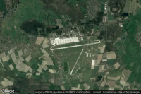


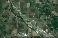

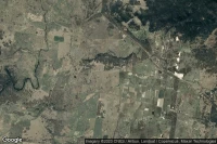
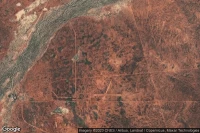
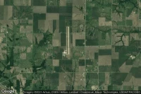
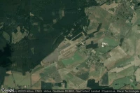
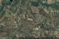
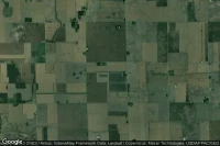
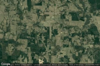
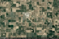
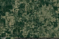
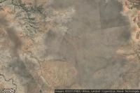
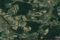
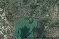
Rutherfordton (United State)
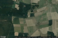
Rutherford County Marchman Field airport aviation weather and facilities (KFQD )


Data sources
- Infos générales : AVWX, France FFPLUM
- METAR : AVWX
- TAF : AVWX
- Météo générale : Openweathermap et AVWX
- NOTAM : FAA
- VAC : France DGAC/SIA, Espagne ENAIRE, Belgique SKEYES
- Aerial maps : Google Maps, Microsoft Bing ou OpenStreetMap