Información del aeropuerto, desde mapa hasta hoteles e información aeronáutica. Y el tiempo aeronáutico para los pilotos, el METAR (METeorological Aerodrome Report, mensaje de observación de condiciones meteorológicas para la aviación) y el TAF (Terminal Aerodrome Forecast: mensaje de pronóstico a corto plazo de las condiciones meteorológicas para la aviación). Y otros recursos como VAC (Visual Approach Chart) para preparar vuelos.


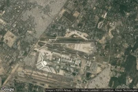
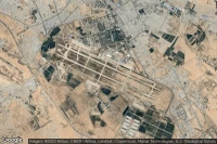
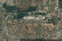
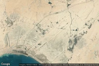
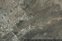
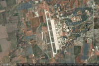
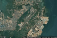
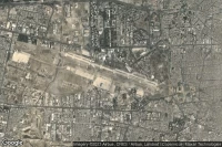
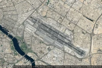
Kinshasa (República Democrática del Congo)
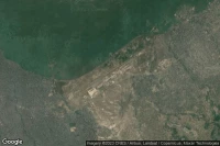
TAF y news del aeropuerto Ndjili International (FZAA FIH )


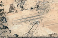
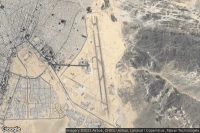
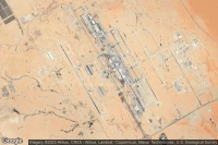
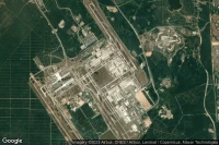
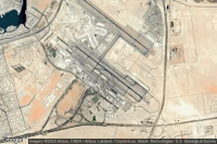
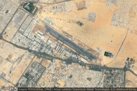
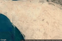
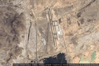
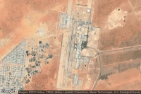
Jebel Ali Dubai (Emiratos Árabes Unidos)
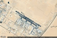
TAF y news del aeropuerto Al Maktoum International (OMDW DWC )


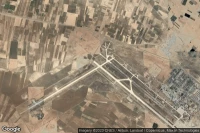


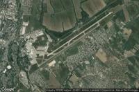


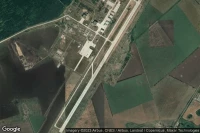
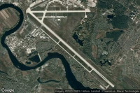
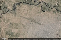
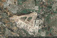
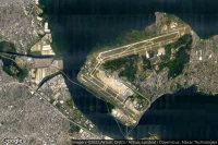
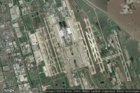
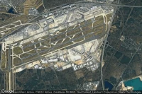
Paris Roissy-en-France (Francia)
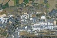
TAF y news del aeropuerto Paris Charles De Gaulle International (LFPG CDG )
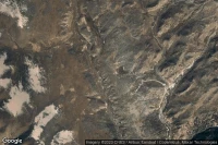

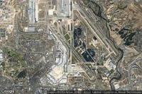

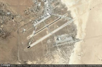
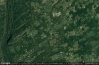
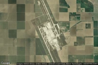
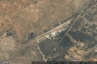
Fort Bliss El Paso (Estados Unidos)

TAF y news del aeropuerto Biggs Army Air Field (Fort Bliss) (KBIF BIF )
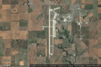
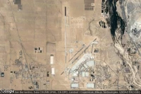
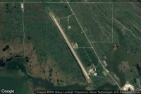
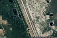
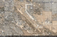
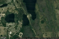
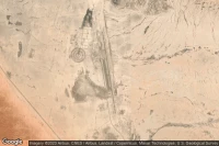
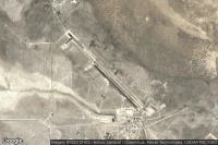
Lemoore (Estados Unidos)
TAF y news del aeropuerto Lemoore Naval Air Station (Reeves Field) (KNLC NLC )
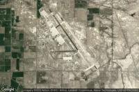
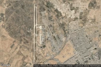
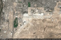
Colorado Springs (Estados Unidos)
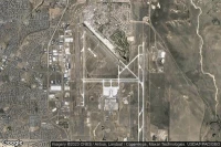
TAF y news del aeropuerto City Of Colorado Springs Municipal (KCOS COS )
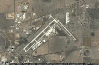


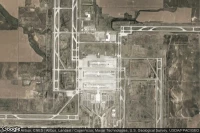
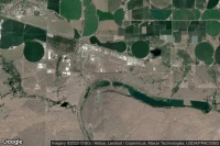
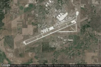
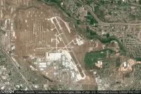
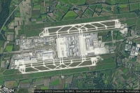
Dallas Fort Worth (Estados Unidos)
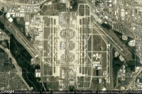
TAF y news del aeropuerto Dallas Fort Worth International (KDFW DFW )

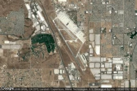


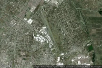
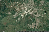
Guadalajara (México)
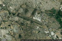
TAF y news del aeropuerto Don Miguel Hidalgo Y Costilla International (MMGL GDL )

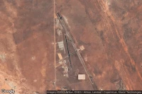
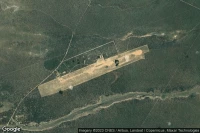
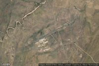
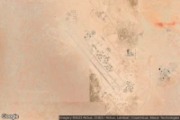
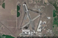
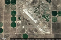
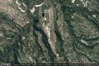
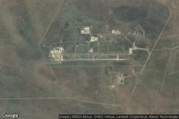
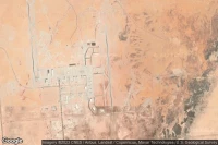
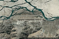
Dugway Proving Ground (Estados Unidos)
TAF y news del aeropuerto Michael AAF (Dugway Proving Ground) (KDPG DPG )


Fuentes de datos
- Infos générales : AVWX, France FFPLUM
- METAR : AVWX
- TAF : AVWX
- Météo générale : Openweathermap et AVWX
- NOTAM : FAA
- VAC : France DGAC/SIA, Espagne ENAIRE, Belgique SKEYES
- Vista aérea : Google Maps, Microsoft Bing ou OpenStreetMap