Airport information, from map to hotels via aeronautical information. And the aeronautical weather for the pilots with current weather and short-term forecasts with METAR (METeorological Aerodrome Report, observation message of meteorological conditions for aviation) and TAF (Terminal Aerodrome Forecast: short-term forecast message of meteorological conditions for aviation ). And other resources such as VAC (Visual Approach Chart) to prepare flights.


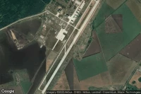


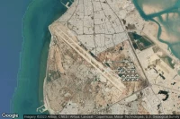
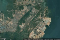
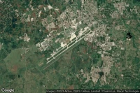
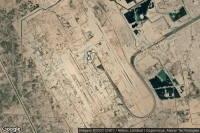
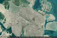
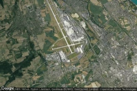
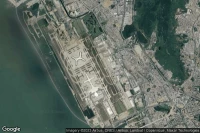
Kinshasa (Democratic Republic of Congo)
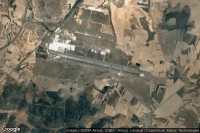
Ndjili International airport aviation weather and facilities (FZAA FIH )

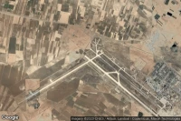
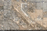
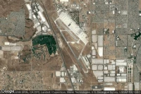
Victorville (United State)
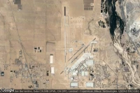
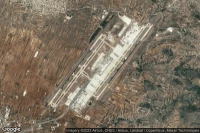
Southern California Logistics airport aviation weather and facilities (KVCV VCV )

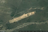
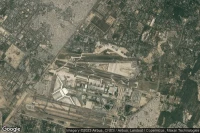
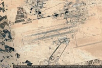
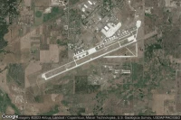
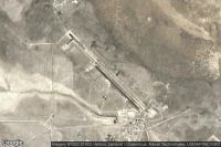
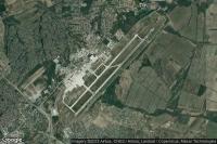
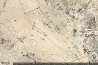
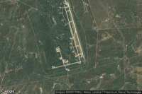
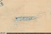
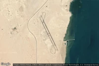
Titusville (United State)
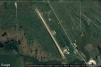
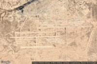
Nasa Shuttle Landing Facility airport aviation weather and facilities (KTTS )


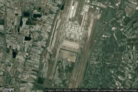
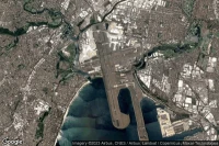
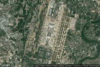
New York (United State)
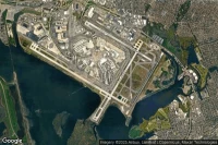
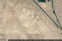
John F Kennedy International airport aviation weather and facilities (KJFK JFK JFK)
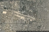
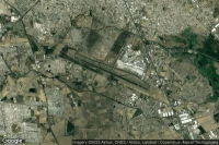
Isfahan (Iran)
Esfahan Shahid Beheshti International airport aviation weather and facilities (OIFM IFN )
Shiraz (Iran)
Shiraz Shahid Dastghaib International airport aviation weather and facilities (OISS SYZ )

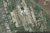
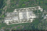
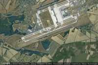
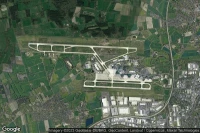
Paris Roissy-en-France (France)
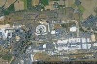
Paris Charles de Gaulle International airport aviation weather and facilities (LFPG CDG )

Tucson (United State)
Davis Monthan Air Force Base airport aviation weather and facilities (KDMA DMA )

Mountain Home (United State)
Mountain Home Air Force Base airport aviation weather and facilities (KMUO MUO )
Amarillo (United State)
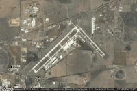
Rick Husband Amarillo International airport aviation weather and facilities (KAMA AMA )
Rapid City (United State)

Ellsworth Air Force Base airport aviation weather and facilities (KRCA RCA )
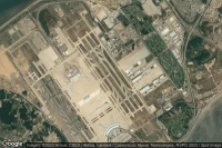
Abu Dhabi (United Arab Emirates)
Zayed International airport aviation weather and facilities (OMAA AUH )

Dallas Fort Worth (United State)
Dallas Fort Worth International airport aviation weather and facilities (KDFW DFW )
Sharjah (United Arab Emirates)
Sharjah International airport aviation weather and facilities (OMSJ SHJ )

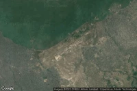
Batam Island (Indonesia)
Hang Nadim International airport aviation weather and facilities (WIDD BTH )
Louis Trichardt Southwest (South Africa)
Makhado Air Force Base airport aviation weather and facilities (FALM )
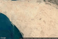
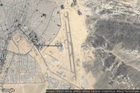
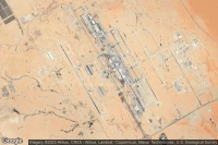
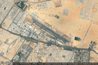
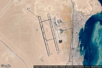
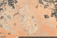
Medina (Saudi Arabia)
Prince Mohammad Bin Abdulaziz airport aviation weather and facilities (OEMA MED )
Guadalajara (Mexico)
Don Miguel Hidalgo Y Costilla International airport aviation weather and facilities (MMGL GDL )
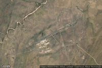
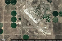
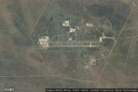
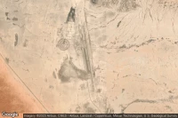
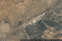
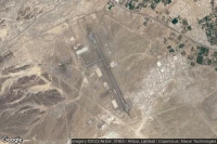
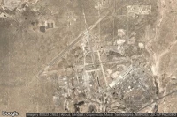
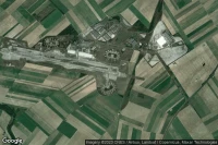
Dugway Proving Ground (United State)
Michael AAF (Dugway Proving Ground) airport aviation weather and facilities (KDPG DPG )

Gaborone (Botswana)
Sir Seretse Khama International airport aviation weather and facilities (FBSK GBE )
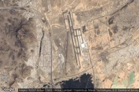
Ciudad Real Puertollano (Spain)
Ciudad Real International airport aviation weather and facilities (LERL CQM )
Athens (Greece)
Eleftherios Venizelos International airport aviation weather and facilities (LGAV ATH )


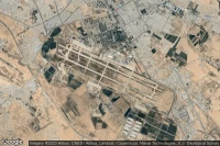
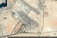
Jeddah (Saudi Arabia)
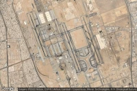
King Abdulaziz International airport aviation weather and facilities (OEJN JED )


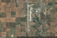
Wichita Falls (United State)
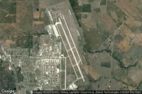
Sheppard Air Force Base-Wichita Falls Municipal airport aviation weather and facilities (KSPS SPS )
Hoedspruit (South Africa)
Hoedspruit Air Force Base airport aviation weather and facilities (FAHS HDS )

Sydney (Australia)
Sydney Kingsford Smith International airport aviation weather and facilities (YSSY SYD )
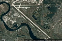
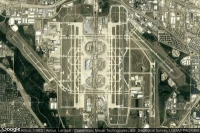
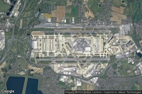
Chicago (United State)
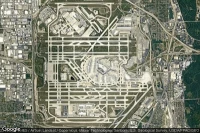
Chicago O'Hare International airport aviation weather and facilities (KORD ORD )

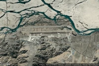
Alamogordo (United State)
Holloman Air Force Base airport aviation weather and facilities (KHMN HMN )
Bâle Mulhouse Fribourg (France)
EuroAirport Basel-Mulhouse-Freiburg airport aviation weather and facilities (LFSB BSL )

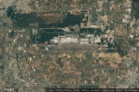
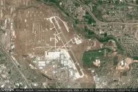
Dayton (United State)
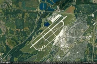
Wright-Patterson Air Force Base airport aviation weather and facilities (KFFO FFO )


Data sources
- Infos générales : AVWX, France FFPLUM
- METAR : AVWX
- TAF : AVWX
- Météo générale : Openweathermap et AVWX
- NOTAM : FAA
- VAC : France DGAC/SIA, Espagne ENAIRE, Belgique SKEYES
- Aerial maps : Google Maps, Microsoft Bing ou OpenStreetMap