Airport information, from map to hotels via aeronautical information. And the aeronautical weather for the pilots with current weather and short-term forecasts with METAR (METeorological Aerodrome Report, observation message of meteorological conditions for aviation) and TAF (Terminal Aerodrome Forecast: short-term forecast message of meteorological conditions for aviation ). And other resources such as VAC (Visual Approach Chart) to prepare flights.
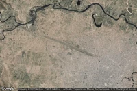
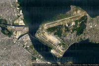
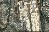
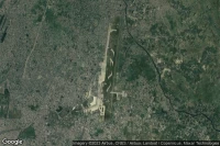
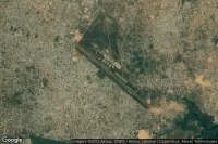
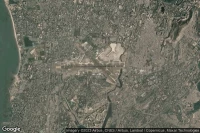
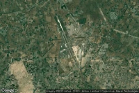
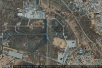
Kinshasa (Democratic Republic of Congo)

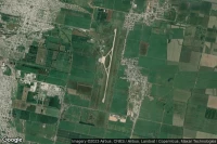
Ndjili International airport aviation weather and facilities (FZAA FIH )
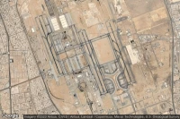
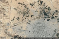
Jebel Ali Dubai (United Arab Emirates)
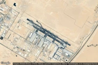
Al Maktoum International airport aviation weather and facilities (OMDW DWC )
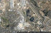
New York (United State)

John F Kennedy International airport aviation weather and facilities (KJFK JFK JFK)
Sharjah (United Arab Emirates)
Sharjah International airport aviation weather and facilities (OMSJ SHJ )
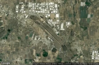
Guadalajara (Mexico)
Don Miguel Hidalgo Y Costilla International airport aviation weather and facilities (MMGL GDL )
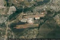
Rio De Janeiro (Brazil)
Rio Galeão – Tom Jobim International airport aviation weather and facilities (SBGL GIG )
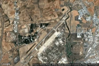
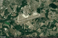
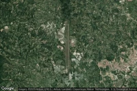
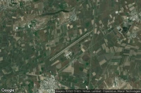
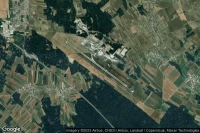
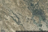
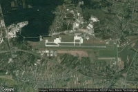
Ciudad Real Puertollano (Spain)
Ciudad Real International airport aviation weather and facilities (LERL CQM )

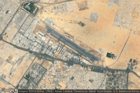
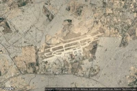
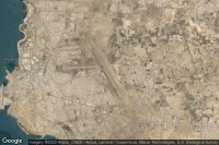
Jeddah (Saudi Arabia)
King Abdulaziz International airport aviation weather and facilities (OEJN JED )
Mexico City (Mexico)
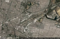
Licenciado Benito Juarez International airport aviation weather and facilities (MMMX MEX )


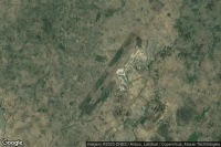
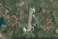
Cochabamba (Bolivia)
Jorge Wilsterman International airport aviation weather and facilities (SLCB CBB )


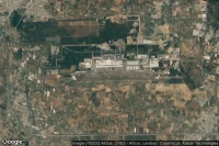
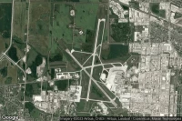
Jacksonville (United State)
Little Rock Air Force Base airport aviation weather and facilities (KLRF LRF LRF)
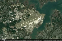
Fort Worth (United State)

NAS Fort Worth JRB/Carswell Field airport aviation weather and facilities (KNFW FWH )
Kolkata (India)
Netaji Subhash Chandra Bose International airport aviation weather and facilities (VECC CCU )
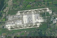
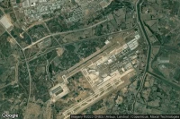
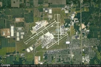
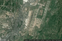
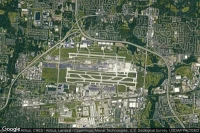
Atlanta (United State)

Hartsfield Jackson Atlanta International airport aviation weather and facilities (KATL ATL )

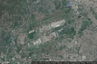
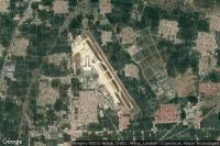
Jiaozhou, Qingdao (China)

Qingdao Jiaodong International airport aviation weather and facilities (ZSQD TAO )
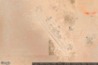
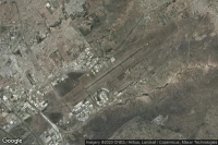
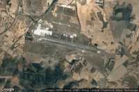
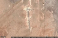
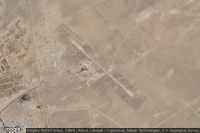
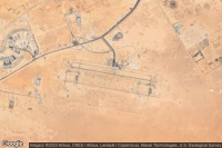
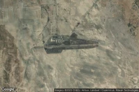
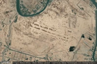
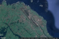
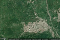
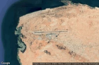
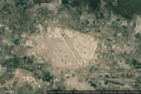
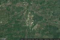
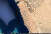
Tamanrasset (Algeria)
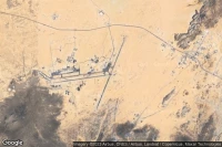
Tamanrasset - Aguenar - Hadj Bey Akhamok airport aviation weather and facilities (DAAT TMR )
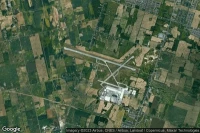
Goldsboro (United State)
Seymour Johnson Air Force Base airport aviation weather and facilities (KGSB GSB )
Kinston (United State)
Kinston Regional Jetport At Stallings Field airport aviation weather and facilities (KISO ISO )
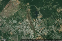
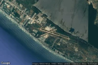
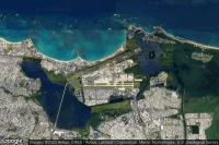
Varadero (Cuba)

Juan Gualberto Gomez International airport aviation weather and facilities (MUVR VRA )
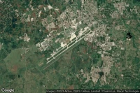
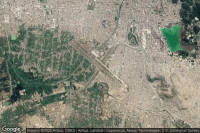
San Miguel de Tucumán (Argentina)
Teniente Benjamin Matienzo airport aviation weather and facilities (SANT TUC )
Medellín (Colombia)
Jose Maria Córdova International airport aviation weather and facilities (SKRG MDE )


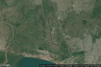
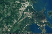
Zandery (Suriname)

Johan Adolf Pengel International airport aviation weather and facilities (SMJP PBM )
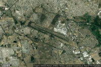
Mumbai (India)
Chhatrapati Shivaji Maharaj International airport aviation weather and facilities (VABB BOM )
Shijiazhuang (China)
Shijiazhuang Daguocun International airport aviation weather and facilities (ZBSJ SJW )
Morelia (Mexico)
General Francisco J. Mujica International airport aviation weather and facilities (MMMM MLM )
Cusco (Peru)

Alejandro Velasco Astete International airport aviation weather and facilities (SPZO CUZ )
Winnipeg (Canada)
Winnipeg / James Armstrong Richardson International airport aviation weather and facilities (CYWG YWG )
San Jose (United State)
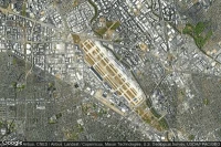
Norman Y. Mineta San Jose International airport aviation weather and facilities (KSJC SJC )
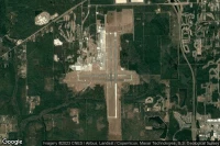
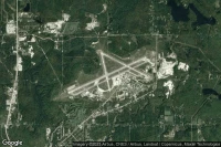
Dayton (United State)
James M Cox Dayton International airport aviation weather and facilities (KDAY DAY )
Acapulco (Mexico)
General Juan N Alvarez International airport aviation weather and facilities (MMAA ACA )
Brasília (Brazil)
Presidente Juscelino Kubistschek International airport aviation weather and facilities (SBBR BSB )

Amritsar (India)
Sri Guru Ram Dass Jee International airport aviation weather and facilities (VIAR ATQ )
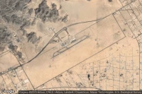
Grand Junction (United State)
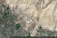
Grand Junction Regional airport aviation weather and facilities (KGJT GJT )

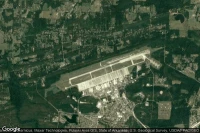
Chongqing (China)
Chongqing Jiangbei International airport aviation weather and facilities (ZUCK CKG )

Mérida (Mexico)

Licenciado Manuel Crescencio Rejon Int airport aviation weather and facilities (MMMD MID )


Columbus (United State)
John Glenn Columbus International airport aviation weather and facilities (KCMH CMH )
Franceville (Gabon)
M'Vengue El Hadj Omar Bongo Ondimba International airport aviation weather and facilities (FOON MVB )

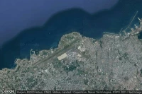
San Juan (Puerto Rico)
Luis Munoz Marin International airport aviation weather and facilities (TJSJ SJU )
Hamilton (Canada)
John C. Munro Hamilton International airport aviation weather and facilities (CYHM YHM )

New Orleans (United State)
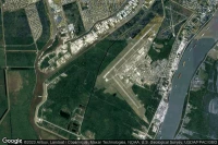
New Orleans NAS JRB/Alvin Callender Field airport aviation weather and facilities (KNBG NBG )
Data sources
- Infos générales : AVWX, France FFPLUM
- METAR : AVWX
- TAF : AVWX
- Météo générale : Openweathermap et AVWX
- NOTAM : FAA
- VAC : France DGAC/SIA, Espagne ENAIRE, Belgique SKEYES
- Aerial maps : Google Maps, Microsoft Bing ou OpenStreetMap