Airport information, from map to hotels via aeronautical information. And the aeronautical weather for the pilots with current weather and short-term forecasts with METAR (METeorological Aerodrome Report, observation message of meteorological conditions for aviation) and TAF (Terminal Aerodrome Forecast: short-term forecast message of meteorological conditions for aviation ). And other resources such as VAC (Visual Approach Chart) to prepare flights.

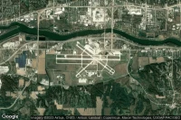
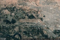
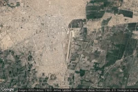
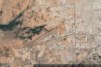
Albuquerque (United State)
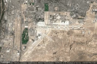
Albuquerque International Sunport airport aviation weather and facilities (KABQ ABQ )
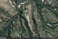
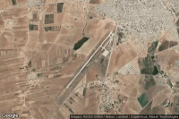
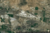
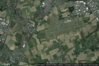
Ciudad Real Puertollano (Spain)
Ciudad Real International airport aviation weather and facilities (LERL CQM )
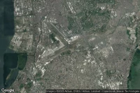
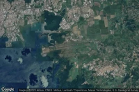
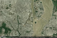
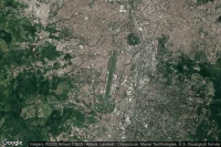
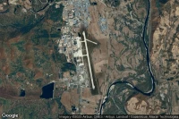
Ho Chi Minh City (Viet Nam)
Tan Son Nhat International airport aviation weather and facilities (VVTS SGN )
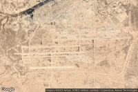
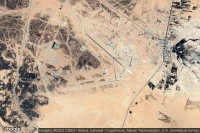
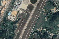
Luanda (Angola)
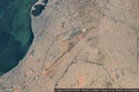
Quatro de Fevereiro International airport aviation weather and facilities (FNLU LAD )

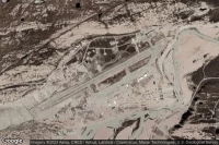
Diwopu Ürümqi (China)

Ürümqi Tianshan International airport aviation weather and facilities (ZWWW URC )

Jiaozhou, Qingdao (China)

Qingdao Jiaodong International airport aviation weather and facilities (ZSQD TAO )
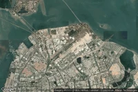


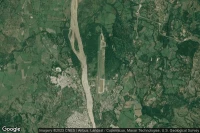
Fort-de-France (Martinique)
Martinique Aimé Césaire International airport aviation weather and facilities (TFFF FDF )
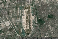
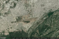
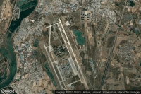
Chongqing (China)
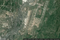
Chongqing Jiangbei International airport aviation weather and facilities (ZUCK CKG )
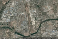
Naqpur (India)

Dr. Babasaheb Ambedkar International airport aviation weather and facilities (VANP NAG )


Barranquilla (Colombia)
Ernesto Cortissoz International airport aviation weather and facilities (SKBQ BAQ )
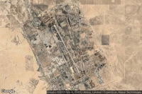
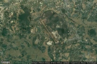
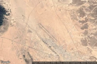
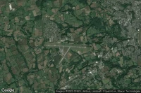
Sokoto (Nigeria)

Sadiq Abubakar III International airport aviation weather and facilities (DNSO SKO )
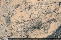
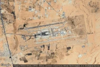
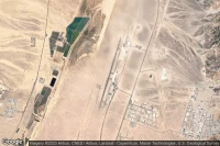
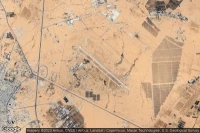
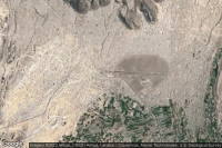
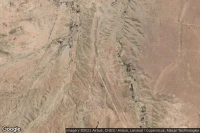
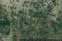
Qaisumah (Saudi Arabia)
Al Qaisumah/Hafr Al Batin airport aviation weather and facilities (OEPA AQI )

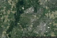
Phu Quoc Island (Viet Nam)
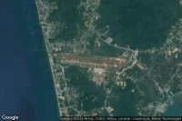
Phu Quoc International airport aviation weather and facilities (VVPQ PQC )

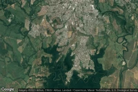
Barquisimeto (Venezuela)
Barquisimeto International airport aviation weather and facilities (SVBM BRM )


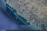
Guayaquil (Ecuador)
José Joaquín de Olmedo International airport aviation weather and facilities (SEGU GYE )
Liberia (Costa Rica)
Daniel Oduber Quiros International airport aviation weather and facilities (MRLB LIR )


Palm Springs (United State)

Jacqueline Cochran Regional airport aviation weather and facilities (KTRM TRM )

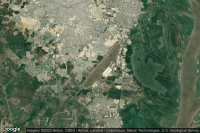
Chiclayo (Peru)
Capitan FAP Jose A Quinones Gonzales International airport aviation weather and facilities (SPHI CIX )
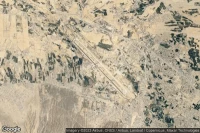
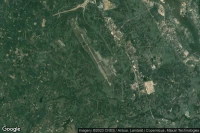
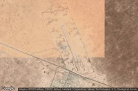
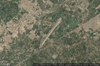
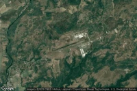
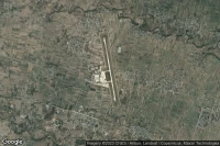
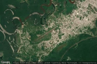
Alta Floresta (Brazil)

Piloto Osvaldo Marques Dias airport aviation weather and facilities (SBAT AFL MT0003)

La Paz (Mexico)

Manuel Márquez de León International airport aviation weather and facilities (MMLP LAP )
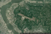
Iquitos (Peru)
Coronel FAP Francisco Secada Vignetta International airport aviation weather and facilities (SPQT IQT )

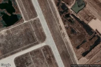
Comayagua (Honduras)

Coronel Enrique Soto Cano Air Base airport aviation weather and facilities (MHSC XPL )


Hermosillo (Mexico)
General Ignacio Pesqueira García airport aviation weather and facilities (MMHO HMO )

Presque Isle (United State)

Presque Isle International airport aviation weather and facilities (KPQI PQI )


Truth Or Consequences (United State)

Truth Or Consequences Municipal airport aviation weather and facilities (KTCS TCS )
Quincy (United State)

Quincy Regional Baldwin Field airport aviation weather and facilities (KUIN UIN )


Data sources
- Infos générales : AVWX, France FFPLUM
- METAR : AVWX
- TAF : AVWX
- Météo générale : Openweathermap et AVWX
- NOTAM : FAA
- VAC : France DGAC/SIA, Espagne ENAIRE, Belgique SKEYES
- Aerial maps : Google Maps, Microsoft Bing ou OpenStreetMap