heliports in Switzerland.
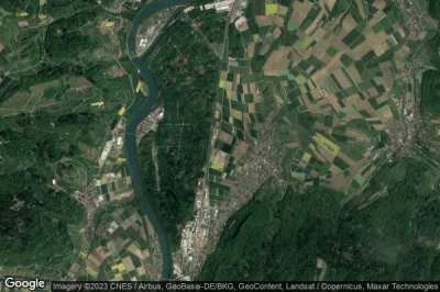
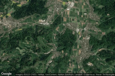
#1 Würenlingen heliport at Würenlingen (Switzerland) LSXW
Altitude : 359 m = 1178ft
Würenlingen heliport is located close to Würenlingen, Wurenlingen at 0.8 km↑, Stilli at 2.3 km↑, Beznau at 2.3 km↑, Villigen at 3 km↑, Böttstein at 3 km↑, Untersiggenthal at 3.3 km↑,
-> Aviation weather for Würenlingen airport
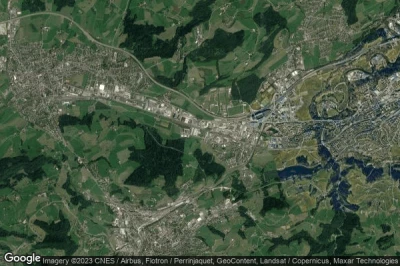
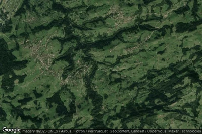
#2 St. Gallen-Winkeln heliport at St. Gallen (Switzerland) LSXO
Altitude : 655 m = 2149ft
St. Gallen-Winkeln heliport is located close to St. Gallen, Herisau at 2.8 km↑, Abtwil at 3.1 km↑, Gossau at 3.2 km↑, Gossau (SG) at 3.3 km↑, Kanton Appenzell Ausserrhoden at 3.5 km↑, Andwil at 3.8 km↑,
-> Aviation weather for St. Gallen-Winkeln airport
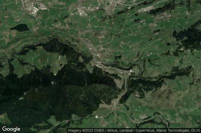
#3 Schindellegi heliport at Schindellegi (Switzerland) LSXS
Altitude : 796 m = 2612ft
Schindellegi heliport is located close to Schindellegi, Schindellegi at 0.5 km↑, Feusisberg at 1.3 km↑, Wollerau at 2.8 km↑, Bezirk Höfe at 2.9 km↑, Langrain at 3.1 km↑, Hütten at 3.8 km↑,
-> Aviation weather for Schindellegi airport
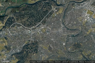
#4 Inselspital Hospital heliport at Berne (Switzerland) LSHI
Altitude : 573 m = 1880ft
Inselspital Hospital heliport is located close to Berne, Bern at 1.4 km↑, Bern at 1.8 km↑, Bern / Liebefeld at 1.8 km↑, Amt Bern at 2.5 km↑, Halen at 2.8 km↑, Stuckishaus at 2.9 km↑,
-> Aviation weather for Inselspital Hospital airport
#5 Trogen heliport at Trogen (Switzerland) LSXT
Altitude : 807 m = 2648ft
Trogen heliport is located close to Trogen, Trogen at 1 km↑, Rehetobel at 2.2 km↑, Speicher at 2.2 km↑, Ruppen at 3.4 km↑, Eggersriet at 3.7 km↑, Bezirk Mittelland at 4.6 km↑,
-> Aviation weather for Trogen airport
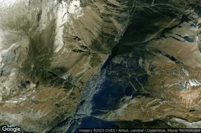
#6 Zermatt heliport at Zermatt (Switzerland) LSEZ
Altitude : 1620 m = 5315ft
Zermatt heliport is located close to Zermatt, Zermatt at 0.9 km↑, Täsch at 4.6 km↑, Randa at 7.8 km↑, Mattsand at 14 km↑, St. Niklaus at 15 km↑, Zinal at 15 km↑,
-> Aviation weather for Zermatt airport
#7 Helipad Station Corvatsch heliport at Silvaplana (Switzerland) CH-0006
Altitude : 3303 m = 10837ft
Helipad Station Corvatsch heliport is located close to Silvaplana, Sils im Engadin/Segl at 4.1 km↑, Sils-Segl Maria at 4.9 km↑, Silvaplana at 5.7 km↑, Samedan at 6 km↑, St. Moritz at 8.1 km↑, Bezirk Maloja / Distretto di Maloggia at 8.8 km↑,
-> Aviation weather for Helipad Station Corvatsch airport
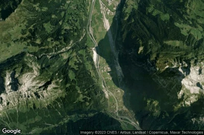
#8 REGA basis Erstfeld heliport at (Switzerland) CH-0008
Altitude : 466 m = 1529ft
REGA basis Erstfeld heliport is located close to Uri at 0.4 km↑, Erstfeld at 1.9 km↑, Schattdorf at 3 km↑, Attinghausen at 3.2 km↑, Burglen at 5 km↑, Altdorf at 5.2 km↑,
-> Aviation weather for REGA basis Erstfeld airport
#9 Holziken heliport at Holziken (Switzerland) LSXH
Altitude : 474 m = 1555ft
Holziken heliport is located close to Holziken, Uerkheim at 1.3 km↑, Kölliken at 2.2 km↑, Schöftland at 2.4 km↑, Muhen at 2.8 km↑, Safenwil at 3 km↑, Staffelbach at 3.6 km↑,
-> Aviation weather for Holziken airport
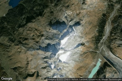
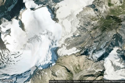
#10 Clariden-Hüfifirn heliport at Plateau nördlich Planurahütte (Switzerland) LSVD LSVD
Altitude : 2935 m = 9629ft
Clariden-Hüfifirn heliport is located close to Plateau nördlich Planurahütte, Spiringen at 6.9 km↑, Hergersboden at 7.4 km↑, Linthal at 8.8 km↑, Argseeli at 9.4 km↑, Unterschächen at 9.6 km↑, Kanton Uri at 10 km↑,
-> Aviation weather for Clariden-Hüfifirn airport
#11 Untervaz heliport at Untervaz (Switzerland) LSXU
#12 Collombey-Muraz heliport at Collombey-Muraz (Switzerland) LSHC
#13 Pfaffnau heliport at Pfaffnau (Switzerland) LSXP
#14 Raron heliport at Raron (Switzerland) LSER
#15 Leysin heliport at Leysin (Switzerland) LSXY
#16 Helipad Klinik Gut (St. Moritz) heliport at St Moritz (Switzerland) CH-0005
#17 Gampel heliport at Gampel (Switzerland) LSHG
#18 Lodrino heliport at Lodrino (Switzerland) LSXR
#19 Lauterbrunnen heliport at Lauterbrunnen (Switzerland) LSXL
#20 San Vittore heliport at San Vittore (Switzerland) CH-0001
#21 Saint Moritz-Bad heliport at St Moritz (Switzerland) LSXM
#22 Gsteigwiler heliport at Gsteigwiler (Switzerland) LSXG
Data sources
- AVWX (avwx.rest)
- Aerial maps : Google Maps (www.google.com), Microsoft Bing (www.microsoft.com) ou OpenStreetMap (www.openstreetmap.org)
