Airport information, from map to hotels via aeronautical information. And the aeronautical weather for the pilots with current weather and short-term forecasts with METAR (METeorological Aerodrome Report, observation message of meteorological conditions for aviation) and TAF (Terminal Aerodrome Forecast: short-term forecast message of meteorological conditions for aviation ). And other resources such as VAC (Visual Approach Chart) to prepare flights.

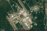
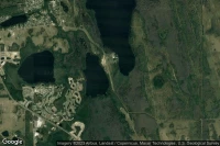
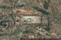
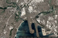
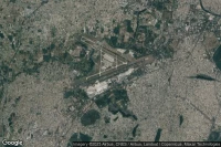
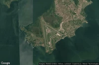
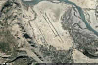
Kinshasa (Democratic Republic of Congo)
Ndjili International airport aviation weather and facilities (FZAA FIH )


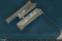
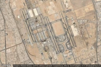
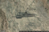
Jebel Ali Dubai (United Arab Emirates)
Al Maktoum International airport aviation weather and facilities (OMDW DWC )


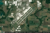
New York (United State)
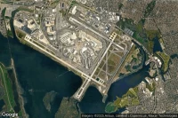
John F Kennedy International airport aviation weather and facilities (KJFK JFK JFK)

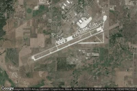
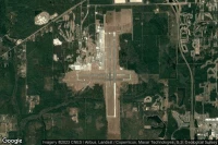
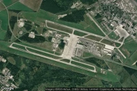
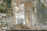
Albuquerque (United State)
Albuquerque International Sunport airport aviation weather and facilities (KABQ ABQ )

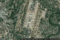
Kuala Lumpur (Malaysia)
Kuala Lumpur International airport aviation weather and facilities (WMKK KUL )
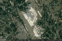
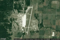
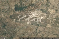
Moses Lake (United State)
Grant County International airport aviation weather and facilities (KMWH MWH )
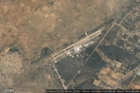
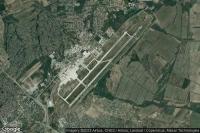
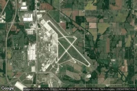
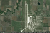
Amarillo (United State)
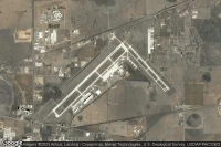
Rick Husband Amarillo International airport aviation weather and facilities (KAMA AMA )

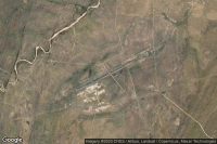
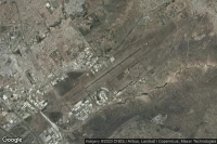
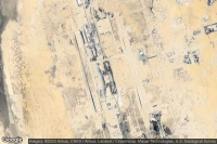
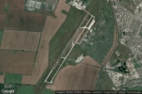
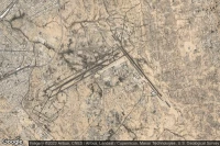
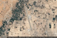
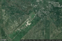
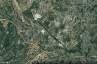
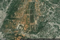
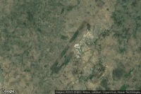
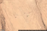
Louis Trichardt Southwest (South Africa)
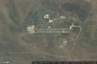
Makhado Air Force Base airport aviation weather and facilities (FALM )

Gaborone (Botswana)
Sir Seretse Khama International airport aviation weather and facilities (FBSK GBE )
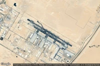
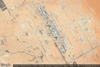
Jeddah (Saudi Arabia)
King Abdulaziz International airport aviation weather and facilities (OEJN JED )


Sydney (Australia)
Sydney Kingsford Smith International airport aviation weather and facilities (YSSY SYD )
Topeka (United State)
Topeka Regional - Forbes Field airport aviation weather and facilities (KFOE FOE )


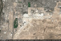
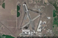
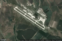
Knob Noster (United State)
Whiteman Air Force Base airport aviation weather and facilities (KSZL SZL )
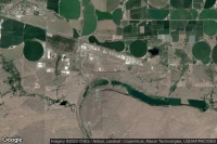
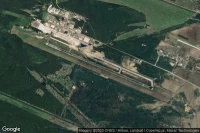
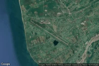
Grand Forks (United State)
Grand Forks Air Force Base airport aviation weather and facilities (KRDR RDR )
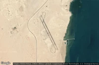
Ras Al Khaimah (United Arab Emirates)
Ras Al Khaimah International airport aviation weather and facilities (OMRK RKT )

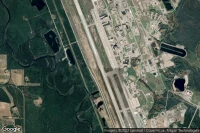
Honolulu (United State)

Daniel K Inouye International airport aviation weather and facilities (PHNL HNL )


Columbus (United State)
Rickenbacker International airport aviation weather and facilities (KLCK LCK )


Salt Lake City (United State)
Salt Lake City International airport aviation weather and facilities (KSLC SLC )
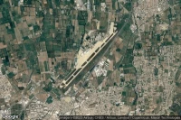
Taichung City (Taiwan)
Taichung Ching Chuang Kang airport aviation weather and facilities (RCMQ RMQ )
Jacksonville (United State)
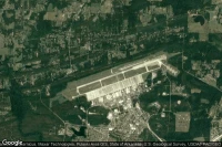
Little Rock Air Force Base airport aviation weather and facilities (KLRF LRF LRF)
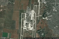
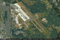
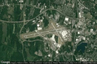
Cincinnati (United State)

Cincinnati Northern Kentucky International airport aviation weather and facilities (KCVG CVG )


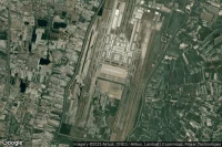
Kolkata (India)
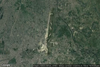
Netaji Subhash Chandra Bose International airport aviation weather and facilities (VECC CCU )
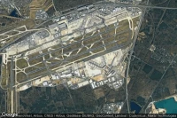
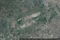
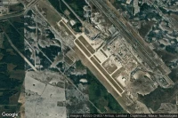
Atlanta (United State)

Hartsfield Jackson Atlanta International airport aviation weather and facilities (KATL ATL )


Newburgh (United State)
New York Stewart International airport aviation weather and facilities (KSWF SWF )
Data sources
- Infos générales : AVWX, France FFPLUM
- METAR : AVWX
- TAF : AVWX
- Météo générale : Openweathermap et AVWX
- NOTAM : FAA
- VAC : France DGAC/SIA, Espagne ENAIRE, Belgique SKEYES
- Aerial maps : Google Maps, Microsoft Bing ou OpenStreetMap